Old Maps of Strongs Prairie, Wisconsin
Explore 43 old maps of Strongs Prairie, spanning from 1953 to today. These high-resolution historic maps reveal how streets, neighborhoods, landmarks, and natural features evolved over time — perfect for genealogy, metal detecting, research, and local history exploration.
What you can do with these maps:
- See how Strongs Prairie changed over time: Compare historical maps to modern-day views to trace roads, homesites, rail lines & more.
- View detailed metadata: Each map includes creators, publishers, year, scale, and archive source.
- Overlay maps with satellite & LiDAR: Visualize the past alongside modern tools to explore terrain & human change.
- Trusted historical sources: Maps sourced from the USGS, Library of Congress, and other archives.
- Access maps your way: View online, download high-res files, or order prints for personal or research use.
Start exploring old maps of Strongs Prairie to uncover forgotten places, hidden landmarks, and the deep history beneath your feet.
Strongs Prairie, WI maps
(43)- 1953 Map of Eau Claire, 1965 Print
 1953 Eau Claire1965 Print · USGSWest-central Wisconsin in the mid-fifties shows a landscape of river-valley industry and vast wildlife refuges during the transition from rails to modern highways. Genealogists and historians can trace the rail corridors of the Chicago and North Western or locate family-named landmarks like Decorah Mound and Chippewa Island.4 unique versions available
 - 1955 Map of Green Bay, 1968 Print
 1955 Green Bay1968 Print · USGSCentral and Eastern Wisconsin are captured here in the mid-fifties, showing the industrial growth of the Fox Valley and Wisconsin River corridors. Genealogists and historians can trace rail lines like the Green Bay and Western through settlements like Weyauwega, Clintonville, and Pulaski.2 unique versions available
 - 1957 Map of Madison, 1967 Print
 1957 Madison1967 Print · USGSSouth-central Wisconsin in the mid-fifties reveals a landscape of industrial hubs and glacial lakes linked by a dense rail and highway network. Genealogists and historians can trace the development of lakeside communities and find notable sites like Badger Ordnance Works and the Horicon National Wildlife Refuge.3 unique versions available
 - 1958 Map of Eau Claire
 1958 Eau Claire1958 Print · USGSWestern Wisconsin in the late fifties shows a landscape of growing regional hubs and massive wildlife refuges. Trace the rail lines of the Chicago and North Western between Eau Claire and Marshfield, or explore the terrain around Iron Mound and Lake Wissota.
 - 1958 Map of Arkdale, 1960 Print
 1958 Arkdale1960 Print · USGSIn the late fifties, the central Wisconsin landscape of Adams County was defined by the massive Petenwell Flowage and rural farming life. Genealogists can trace family names at Violet Lawn Sch, Spring Branch Cem, and the settlement of Arkdale.
 - 1958 Map of Necedah, 1960 Print
 1958 Necedah1960 Print · USGSJuneau County in the late fifties shows a landscape shaped by massive water projects and conservation efforts. Genealogists and hikers can trace old country roads to find the Rockview Sch, Zion Cem, and the tracks of the Chicago and North Western.3 unique versions available
 - 1960 Map of Madison
 1960 Madison1960 Print · USGSCentral and Southern Wisconsin are captured in the late fifties, showing the region as its rail-and-river network matured. Trace the paths of the Soo Line RR or locate family roots near Lake Mendota and Horicon National Wildlife Refuge.2 unique versions available
 - 1961 Map of Adams, 1963 Print
 1961 Adams1963 Print · USGSCentral Wisconsin at the start of the sixties reveals a landscape shaped by the Castle Rock Flowage and prominent glacial mounds. Researchers can locate vanished rural landmarks like Castle Rock Sch, the Woodside Ranch, and historic country cemeteries.2 unique versions available
 - 1964 Map of Eau Claire
 1964 Eau Claire1964 Print · USGSWest-central Wisconsin in the mid-1960s was a hub of river-driven industry and expanding rail networks. Researchers can trace historic homesteads near Menomonie, follow the Soo Line RR through Marshfield, or explore the grounds of the Camp McCoy Military Reservation.
 - 1967 Map of Roche A Cri, 1969 Print
 1967 Roche A Cri1969 Print · USGSThe sandstone bluffs and prairie flats of Adams County are captured here in the late sixties, during the peak of the region's mid-century rural development. Trace local landmarks like Rabbit Rock, the Pineland Sch, and the quiet Cottonville Cem along the creek.2 unique versions available
 - 1967 Map of Arkdale, 1969 Print
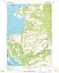 1967 Arkdale1969 Print · USGSAdams County in the late sixties reveals a landscape transformed by the Wisconsin River reservoirs. Genealogists can locate several local burial grounds including Monroe Center Cem and East Arkdale Cem, or trace the rural road network near Arkdale.3 unique versions available
 - 1969 Map of Necedah, 1971 Print
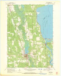 1969 Necedah1971 Print · USGSThe village of Necedah sits at the intersection of rail and river during the late sixties, flanked by massive wildlife refuges and the Wisconsin River. Researchers can locate the Queen of the Holy Rosary Shrine, the Rockview Sch, and the high ground of Necedah Bluff.
 - 1983 Map of Adams, 1984 Print
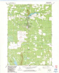 1983 Adams1984 Print · USGSThe twin settlements of Friendship and Adams are shown in the early eighties as the railroad and the river shaped the local economy. Researchers can locate local burial grounds such as St Leos Cem, trace the Chicago and North Western tracks, or explore the area around Friendship Mound.
 - 1983 Map of Dellwood, 1984 Print
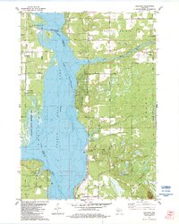 1983 Dellwood1984 Print · USGSThe Wisconsin River valley in the early 1980s reveals a landscape of recreational growth and quiet lakeside settlements. You can trace the development of Dellwood and locate landmarks like the Quincy Cem, Quincy Bluff, and Our Lady of the Lake.
 - 1985 Map of Wisconsin Dells
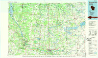 1985 Wisconsin Dells1985 Print · USGSCentral Wisconsin in the mid-eighties was a landscape of intricate river bends, rail junctions, and sprawling marshlands. Researchers can trace historic routes along the Soo Line or locate family landmarks near Lyndon Station, Buffalo Lake, and Puckaway Lake.
 - 1985 Map of Black River Falls
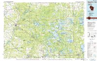 1985 Black River Falls1985 Print · USGSCentral Wisconsin in the mid-1980s is defined by its sprawling wildlife refuges and the winding Black River corridor. Genealogists and researchers can trace rural settlements like Millston and Warrens or locate historical sites such as the Iron Mine and the grounds of Fort McCoy.2 unique versions available
 - 1985 Map of Wisconsin Rapids
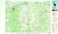 1985 Wisconsin Rapids1985 Print · USGSCentral Wisconsin in the mid-eighties shows a landscape of engineered waterways and active rail corridors between Wisconsin Rapids and Waupaca. Genealogists and researchers can trace local landmarks like Roche A Cri State Park, the SOO LINE, and small settlements like Coddington or Rudolph.2 unique versions available
 - 1990 Map of Wisconsin Dells, 1991 Print
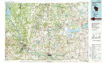 1990 Wisconsin Dells1991 Print · USGSCentral Wisconsin's river valleys and lake country are captured in detail here during the late twentieth century. Researchers can trace the rail-and-water geography connecting Wisconsin Dells and Portage with landmarks like Blackhawk Island and Buffalo Lake.
 - 2010 Map of Arkdale, 2010 Print
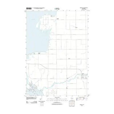 2010 Arkdale2010 Print · USGSAdams County at the start of the 2010s shows a landscape of river-fed settlements and quiet rural crossroads. Genealogists can trace family history through a high density of burial sites like Monroe Center Cemetery and South Arkdale Cemetery, or locate specific structures near the Arkdale 3WR1429 Dam.
 - 2010 Map of Necedah, 2010 Print
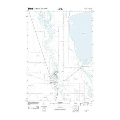 2010 Necedah2010 Print · USGSNecedah and the shores of Petenwell Lake are captured here in the early twenty-first century. Researchers can trace the junction of the Yellow River and Wisconsin River while locating local landmarks like Bay View Cemetery and Petenwell Rock.
 - 2010 Map of Roche A Cri, 2010 Print
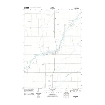 2010 Roche A Cri2010 Print · USGSCentral Wisconsin geography at the turn of the decade is defined by the winding Big Roche a Cri Creek and the wooded surrounds of Big Flats. Genealogists and historians can locate the Cottonville Cemetery and landmarks like Rabbit Rock.
 - 2010 Map of Adams, 2010 Print
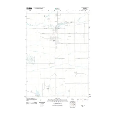 2010 Adams2010 Print · USGSThe interconnected communities of Adams and Friendship are shown here in the early twenty-first century, surrounded by unique geologic formations. Researchers can locate Mount Repose Cemetery, the Friendship 2WP745 Dam, and distinctive landmarks like Lighthouse Rock.
 - 2010 Map of Dellwood, 2010 Print
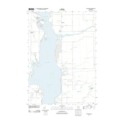 2010 Dellwood2010 Print · USGSAdams County at the start of the 2010s reveals a landscape shaped by the expansive waters of the Wisconsin River and its tributaries. Researchers can trace local burial sites at Dellwood Cemetery and Quincy Cemetery or locate the Schwahn 3NC78806 Dam near Silver Lake.
 - 2013 Map of Adams, 2013 Print
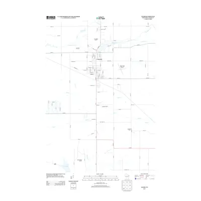 2013 Adams2013 Print · USGSCentral Wisconsin life at the start of the 2010s is centered here on the interconnected hubs of Friendship and Adams. Researchers can trace the local landscape from the Adams County Legion Field Airport to prominent landmarks like Friendship Mound and Houghton Rock.
 - 2013 Map of Roche A Cri, 2013 Print
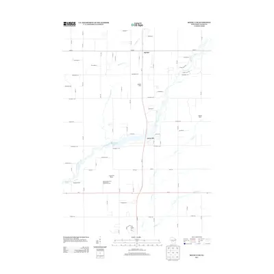 2013 Roche A Cri2013 Print · USGSAdams County at the start of the 2010s reveals a landscape of striking rock formations and glacial waterways. Genealogists and local historians can trace the rural layouts of Cottonville and Big Flats, or locate landmarks like Rabbit Rock and Zanadu Airport.
Showing maps 1-25 of 43
Top cities near Strongs Prairie
- Mauston historical maps
- New Lisbon historical maps
- Adams historical maps
- Lemonweir historical maps
- Easton historical maps
- Big Flats historical maps
See more
Top neighborhoods of Strongs Prairie
Frequently asked questions
- What are the different types of historical maps available for Strongs Prairie?
- What is the oldest map of Strongs Prairie?
- Where can I purchase historical maps of Strongs Prairie for my home or office?
- Where can I download high-res historical maps of Strongs Prairie?
- Are there historical topographic maps available for Strongs Prairie?
- Is there historical aerial imagery available for Strongs Prairie?
- Where are historical maps of Strongs Prairie sourced from?