2000s (21st Century) Maps of Scott, Wisconsin
Explore 15 historic maps of Scott from the 2000s (21st Century). These maps offer a rare glimpse into what life looked like during the 2000s — showing old roads, neighborhoods, homes, and landmarks that have changed or disappeared over time.
Whether you're researching your family's past, planning a metal detecting trip, or studying how Scott's landscape evolved across the 2000s, these high-resolution maps are a powerful tool for exploring the history of this region.
- Focus on a specific era: All maps on this page are from the 2000s, giving you a focused view of this time period.
- See what’s changed: Compare century-old streets, trails, and buildings to today's modern landscape using overlays and satellite layers.
- Research with precision: Use these maps for genealogy, historical research, land use analysis, or educational projects.
- View, download, or print: Maps are fully viewable online in high resolution, and can be downloaded or printed for your own records.
Start exploring Scott's history through authentic maps from the 2000s. This is your window into the past.
Scott, WI maps
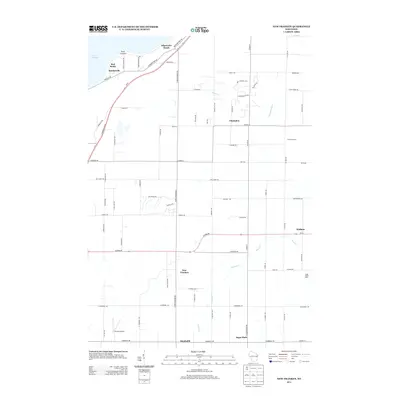
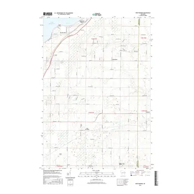
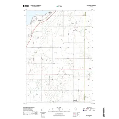
(15)- 2010 Map of New Franken, 2010 Print
 2010 New Franken2010 Print · USGSCovers Scott, including Green Bay, Humboldt, and other nearby areas
 - 2010 Map of Dyckesville, 2010 Print
 2010 Dyckesville2010 Print · USGSCovers Scott, including Green Bay, Dyckesville, and other nearby areas
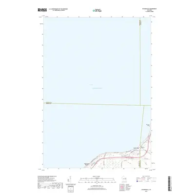
 - 2010 Map of Green Bay East, 2010 Print
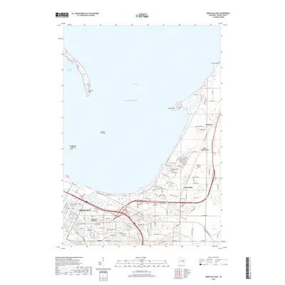
 2010 Green Bay East2010 Print · USGSCovers Scott, including Green Bay, Suamico, and other nearby areas
 - 2013 Map of New Franken, 2013 Print
 2013 New Franken2013 Print · USGSCovers Scott, including Green Bay, Humboldt, and other nearby areas
 - 2013 Map of Dyckesville, 2013 Print
 2013 Dyckesville2013 Print · USGSCovers Scott, including Green Bay, Dyckesville, and other nearby areas
 - 2013 Map of Green Bay East, 2013 Print
 2013 Green Bay East2013 Print · USGSCovers Scott, including Green Bay, Suamico, and other nearby areas
 - 2015 Map of Dyckesville, 2015 Print
 2015 Dyckesville2015 Print · USGSCovers Scott, including Green Bay, Dyckesville, and other nearby areas
 - 2015 Map of Green Bay East, 2015 Print
 2015 Green Bay East2015 Print · USGSCovers Scott, including Green Bay, Suamico, and other nearby areas
 - 2015 Map of New Franken, 2015 Print
 2015 New Franken2015 Print · USGSCovers Scott, including Green Bay, Humboldt, and other nearby areas
 - 2018 Map of Dyckesville, 2018 Print
 2018 Dyckesville2018 Print · USGSCovers Scott, including Green Bay, Dyckesville, and other nearby areas
 - 2018 Map of New Franken, 2018 Print
 2018 New Franken2018 Print · USGSCovers Scott, including Green Bay, Humboldt, and other nearby areas
 - 2018 Map of Green Bay East, 2018 Print
 2018 Green Bay East2018 Print · USGSCovers Scott, including Green Bay, Suamico, and other nearby areas
 - 2022 Map of Dyckesville, 2022 Print
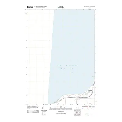
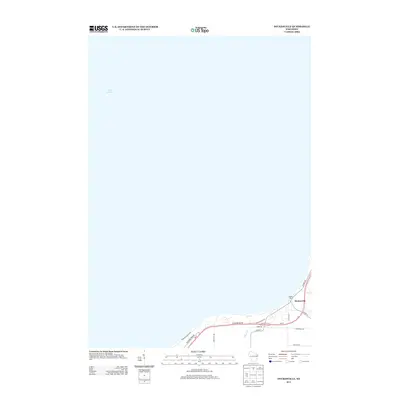
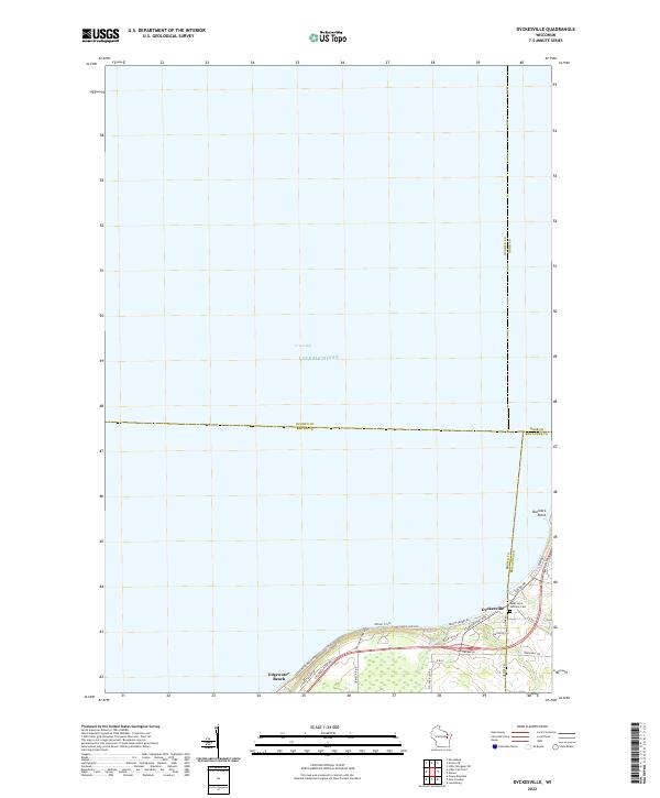 2022 Dyckesville2022 Print · USGSThe southern shores of Green Bay are captured in the early 2020s where the borders of Brown, Door, and Kewaunee counties intersect. Local historians can trace the community of Dyckesville and find the Saint Louis Catholic Cem along the coastal bluffs of Barretts Point.
 - 2022 Map of New Franken, 2022 Print
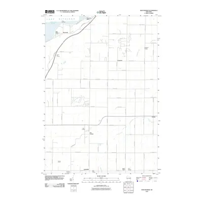
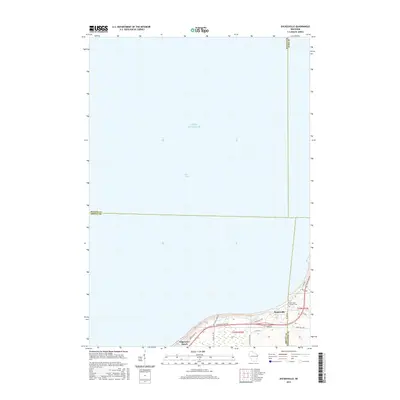
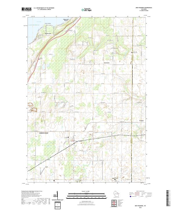 2022 New Franken2022 Print · USGSBrown County's rural shoreline and agricultural interior are captured here in the early twenty-first century. Researchers can trace family history through numerous parish sites like Saint Kilian Cem and old settlements such as New Franken and Sugar Bush.
 - 2022 Map of Green Bay East, 2022 Print
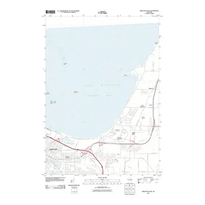
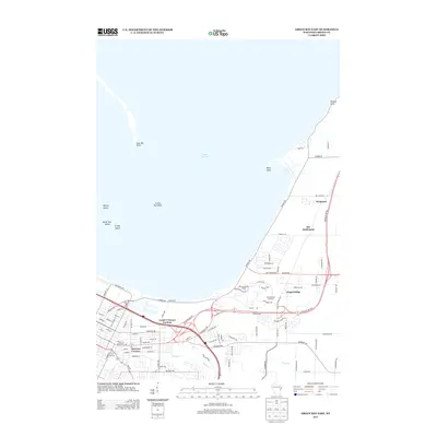
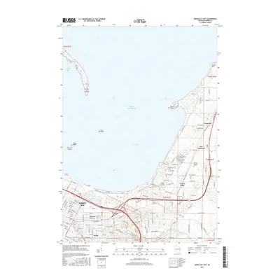
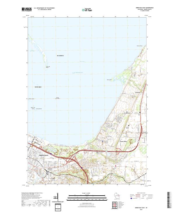 2022 Green Bay East2022 Print · USGSCoastal Brown County comes alive in this 2020s study of the shoreline where the city meets the bay. Genealogists and local historians can trace family locations near Haevers Corners, Holy Cross Cem, and the historic Bay Settlement crossroads.
End of results
Showing maps 1-15 of 15
Top cities near Scott
- Green Bay historical maps
- De Pere historical maps
- Howard historical maps
- Allouez historical maps
- Bellevue historical maps
- Suamico historical maps
See more
Top neighborhoods of Scott
- Edgewater Beach historical maps
- Red Banks historical maps
- Wequiock historical maps
- Bay Settlement historical maps
- Benderville historical maps
- Chapel Ridge historical maps
Frequently asked questions
- What are the different types of historical maps available for Scott?
- What is the oldest map of Scott?
- Where can I purchase historical maps of Scott for my home or office?
- Where can I download high-res historical maps of Scott?
- Are there historical topographic maps available for Scott?
- Is there historical aerial imagery available for Scott?
- Where are historical maps of Scott sourced from?