Old Maps of Birch Creek, Wisconsin for Genealogy
Trace your family roots with 40 historic maps of Birch Creek. These high-res maps reveal old neighborhoods, homesites, landmarks, and streets — helping you uncover where your ancestors lived and how the area evolved over time.
- Explore historic neighborhoods: Identify where your relatives may have lived in the 1800s or 1900s.
- Compare maps over time: Trace the changes in streets, buildings, and landmarks for multi-generational research.
- Perfect for genealogy & ancestry research: Used by family historians and researchers to map out lineage and migration.
These maps are an incredible resource for exploring your personal connection to Birch Creek's past.
Birch Creek, WI maps
(40)- 1948 Map of Weyerhauser, 1964 Print
 1948 Weyerhauser1964 Print · USGSRusk County at mid-century is a landscape of glacial lakes and tight-knit rural districts organized around the Soo Line railroad. Genealogists can locate long-lost rural institutions including Pleasant Hill Sch, the Indian Cem, and the historic townsite of Apollonia.
 - 1948 Map of Ladysmith, 1967 Print
 1948 Ladysmith1967 Print · USGSRusk County and the Flambeau River are captured here in the late 1940s as a thriving hub of rail, timber, and water power. Researchers can locate numerous vanished country schools like Grant Center Sch and trace early river control at the Port Arthur Dam and Thornapple Dam.
 - 1949 Map of Bloomer, 1966 Print
 1949 Bloomer1966 Print · USGSThe dairy farms and lake country of northwestern Wisconsin are captured here in the late 1940s. Genealogists can trace rural family roots through numerous local schools and cemeteries, from Mile Corner Sch and Modern Sch to Tillinghast Cem and Rutledge Cem.2 unique versions available
 - 1950 Map of Weyerhauser
 1950 Weyerhauser1950 Print · USGSRusk County at the dawn of the 1950s reveals a transition from timber-driven rail towns to a landscape of lakeside communities. Genealogists and historians can trace local landmarks like Indian Cem, the Stan Lookout Tower, and numerous rural schoolhouses including Amacoy Sch.
 - 1950 Map of Ladysmith
 1950 Ladysmith1950 Print · USGSMid-century Rusk County centers on the busy rail junction and riverfront of Ladysmith just as the regional flowages were being established. Researchers can locate dozens of rural schools and churches, including Meadow Brook Sch, St Francis Ch, and the Thornapple Dam.
 - 1951 Map of Bloomer
 1951 Bloomer1951 Print · USGSPost-war Chippewa County is seen here during a period of rural consolidation across its glaciated lake country. Local researchers can trace family roots through numerous country schools and cemeteries, including Tillinghast Cem, Emanuel Ch, and Larson Sch.2 unique versions available
 - 1951 Map of Cornell, 1953 Print
 1951 Cornell1953 Print · USGSCentral Chippewa County in the early fifties shows a landscape of river-driven industry and rural community life. Genealogists can trace family roots at Bohemia Cem or St Joseph Cem, and locate numerous schools like Firth Sch (Aband).
 - 1953 Map of Rice Lake, 1967 Print
 1953 Rice Lake1967 Print · USGSNorthwest Wisconsin during the mid-fifties reveals a landscape defined by timber, rail, and water. Genealogists and historians can trace the development of river towns like Ladysmith and Rice Lake along the Soo Line and Chicago and North Western railroads.2 unique versions available
 - 1959 Map of Rice Lake
 1959 Rice Lake1959 Print · USGSNorthwest Wisconsin in the late fifties was a land of expanding road networks and deep-seated timber history. Genealogists and historians can trace rail lines like the Soo Line RR and Chicago St Paul Minneapolis and Omaha Ry as they link settlements from Spooner to Medford.
 - 1971 Map of Flambeau Ridge, 1974 Print
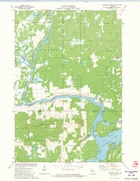 1971 Flambeau Ridge1974 Print · USGSThe confluence of the Flambeau and Chippewa Rivers in northern Wisconsin is captured here during the early seventies. Local historians can trace lakeside developments and landmarks like St Francis Ch, the Flambeau Lookout Tower, and Pine Island.
 - 1972 Map of Fireside Lakes, 1974 Print
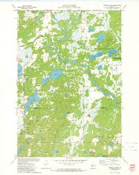 1972 Fireside Lakes1974 Print · USGSThe Chippewa River valley straddles the Rusk and Chippewa County line in the early seventies, a landscape of dense woods and glacial kettle lakes. Genealogists and local historians can trace the rural layout of Big Bend through sites like the Mud Lake Cem, Island Lake Ch, and Hatch Landing.
 - 1973 Map of Holcombe, 1976 Print
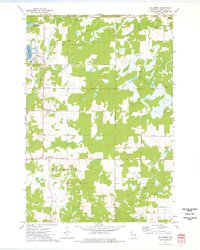 1973 Holcombe1976 Print · USGSThe Holcombe area and the eastern Chippewa River valley are captured here in the early 1970s. Researchers can trace family sites at Estella Cem, follow the Old Railroad Grade, or locate landmarks like the Martle Ch.
 - 1973 Map of Cornell, 1977 Print
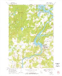 1973 Cornell1977 Print · USGSIn the early seventies, the Chippewa River valley centered around Cornell as a hub of industry and recreation. Local researchers can trace the Chicago and North Western rail line and explore the islands of Brunet Island State Park or the shores of Lake Holcombe.
 - 1975 Map of Bob Lake, 1978 Print
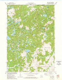 1975 Bob Lake1978 Print · USGSChippewa County is seen here in the mid-seventies, featuring the glacial landforms of the Chippewa Moraine. Researchers can locate community anchors like the Cleveland Cem and Trinity Ch, or trace the winding course of the Rustic Road.
 - 1980 Map of Bloomer
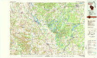 1980 Bloomer1980 Print · USGSNorthwestern Wisconsin at the start of the eighties shows a landscape deeply connected to its rivers and rail lines. Genealogists and historians can trace the growth of Bloomer, Ladysmith, and Chetek or locate local landmarks like Brunet Island State Park and the Soo Line rail corridors.
 - 2010 Map of Cornell, 2010 Print
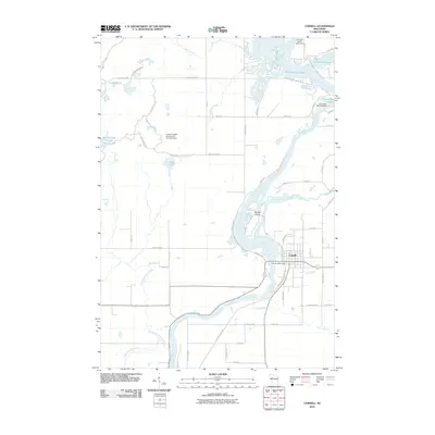 2010 Cornell2010 Print · USGSWisconsin's river-driven landscape is on display in this Chippewa County survey at the start of the 2010s. Researchers can trace the development of Cornell and identify local landmarks like the Cornell 2WP7 Dam and the shoreline of Brunet Island.
 - 2010 Map of Holcombe, 2010 Print
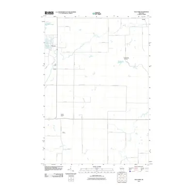 2010 Holcombe2010 Print · USGSUpper Chippewa County in the early twenty-first century is defined by its expansive waterways and rural townships. Genealogists and researchers can locate Saint Joseph Cemetery, trace the banks of Holcombe Flowage, and find the small settlement of Arnold.
 - 2010 Map of Fireside Lakes, 2010 Print
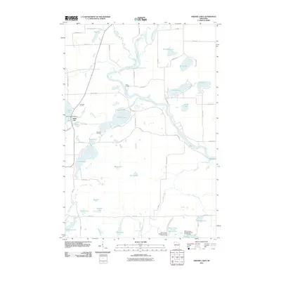 2010 Fireside Lakes2010 Print · USGSRusk County’s lake country is captured here during the early 2000s, showing a landscape defined by the Chippewa River and its many tributaries. Researchers can locate family sites near Island Lake Cemetery or trace the development of the Willow Creek Flowage Number One.
 - 2010 Map of Bob Lake, 2010 Print
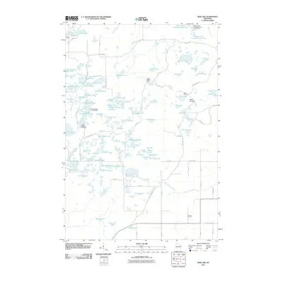 2010 Bob Lake2010 Print · USGSChippewa County is shown here as a dense network of glacial lakes and flowages in the early twenty-first century. Outdoor historians and researchers can trace the Ice Age Trl, locate the Cleveland Cemetery, or find established retreats like Camp Nawakwa.
 - 2010 Map of Flambeau Ridge, 2010 Print
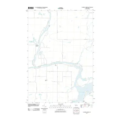 2010 Flambeau Ridge2010 Print · USGSRusk County waterways converge in the first decade of the millennium where the rivers meet near the heights of Flambeau Ridge. Researchers can trace old property boundaries near Saint Francis Cemetery or explore the drainage of Deer Tail Creek and Holcombe Flowage.
 - 2013 Map of Cornell, 2013 Print
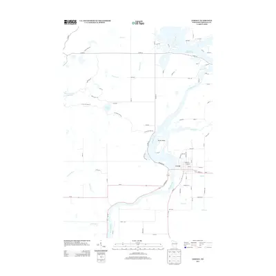 2013 Cornell2013 Print · USGSThe riverfront town of Cornell is depicted in the early twenty-first century as it sits nestled between the Chippewa River and the massive Holcombe Flowage 4700. Researchers can trace the path of the Ice Age Natl Scenic Trl past Firth Lake and explore the unique geography of Brunet Island.
 - 2013 Map of Holcombe, 2013 Print
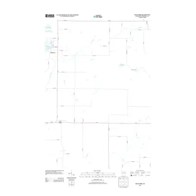 2013 Holcombe2013 Print · USGSUpper Chippewa County appears here in the early 2010s, centered on the waterfront community of Holcombe. Researchers can trace local landmarks like the Cornell Municipal Airport and follow the intricate paths of the Fisher River and Hay Cr.
 - 2013 Map of Fireside Lakes, 2013 Print
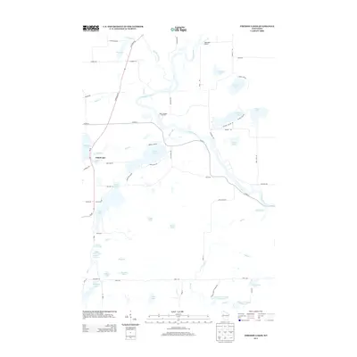 2013 Fireside Lakes2013 Print · USGSNorthern Wisconsin's lake country is captured here during the early twenty-first century, showing the intricate waterways of Rusk County. Trace local landmarks like Hatch Landing on the Chippewa River or the rural surroundings of Taylorport Airport and Fireside Lakes.
 - 2013 Map of Flambeau Ridge, 2013 Print
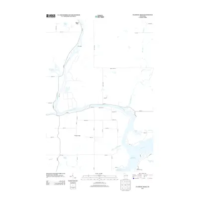 2013 Flambeau Ridge2013 Print · USGSRusk County waterways converge at the start of the twenty-first century, where the rivers meet the backwaters of the Holcombe Flowage. Researchers can trace land use near Flambeau Ridge or locate family sites around Rivers Edge and Wesley Lake.
 - 2013 Map of Bob Lake, 2013 Print
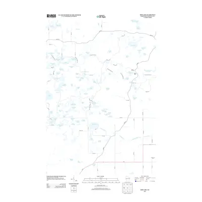 2013 Bob Lake2013 Print · USGSChippewa County’s glacial landscape is captured here in the early twenty-first century, showing a complex network of kettle lakes and forest trails. Researchers can trace the Ice Age Natl Scenic Trl as it winds past Camp Nawakwa and the local agricultural hub at Spring Creek Dairy.
Showing maps 1-25 of 40
Top cities near Birch Creek
- Ladysmith historical maps
- Eagle Point historical maps
- Anson historical maps
- Cornell historical maps
- Tilden historical maps
- Thornapple historical maps
See more
Frequently asked questions
- What are the different types of historical maps available for Birch Creek?
- What is the oldest map of Birch Creek?
- Where can I purchase historical maps of Birch Creek for my home or office?
- Where can I download high-res historical maps of Birch Creek?
- Are there historical topographic maps available for Birch Creek?
- Is there historical aerial imagery available for Birch Creek?
- Where are historical maps of Birch Creek sourced from?