2000s (21st Century) Maps of Edson, Wisconsin
Explore 4 historic maps of Edson from the 2000s (21st Century). These maps offer a rare glimpse into what life looked like during the 2000s — showing old roads, neighborhoods, homes, and landmarks that have changed or disappeared over time.
Whether you're researching your family's past, planning a metal detecting trip, or studying how Edson's landscape evolved across the 2000s, these high-resolution maps are a powerful tool for exploring the history of this region.
- Focus on a specific era: All maps on this page are from the 2000s, giving you a focused view of this time period.
- See what’s changed: Compare century-old streets, trails, and buildings to today's modern landscape using overlays and satellite layers.
- Research with precision: Use these maps for genealogy, historical research, land use analysis, or educational projects.
- View, download, or print: Maps are fully viewable online in high resolution, and can be downloaded or printed for your own records.
Start exploring Edson's history through authentic maps from the 2000s. This is your window into the past.
Edson, WI maps
(4)- 2022 Map of Simes Creek, 2022 Print
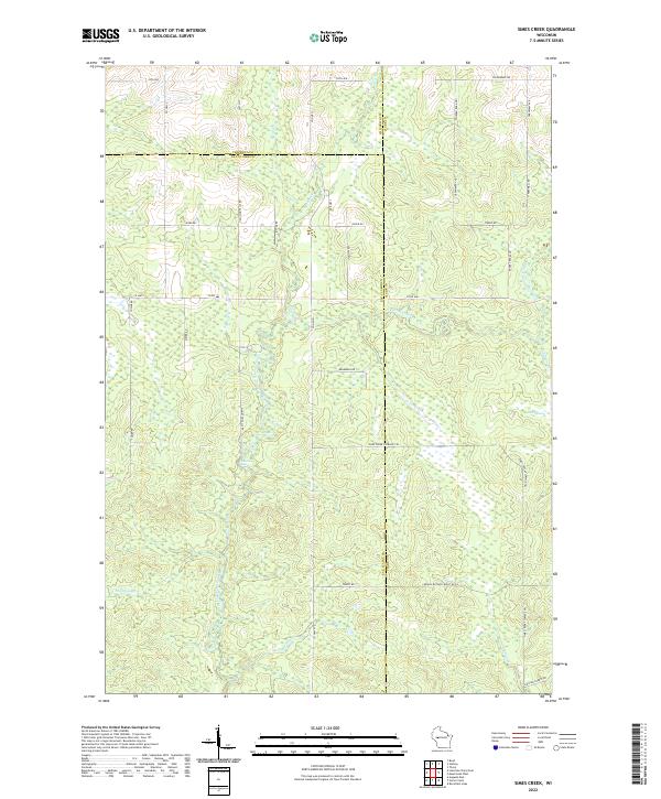 2022 Simes Creek2022 Print · USGSWisconsin's river-fed wetlands and forest lands are mapped here in the modern era where three counties meet. Genealogists and outdoorsmen can trace the routes around Hamilton Falls, the depths of Blue Swamp, and the banks of Simes Creek.
 - 2022 Map of Stanley, 2022 Print
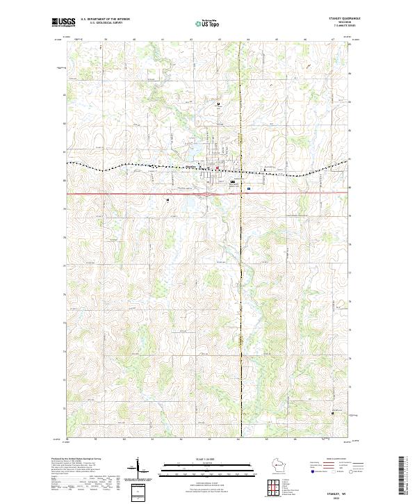 2022 Stanley2022 Print · USGSThe dairy lands and river valleys of Central Wisconsin are documented here in recent years, showing the growth of Stanley and its outlying farms. Researchers can trace family history through several burial grounds including Evergreen Cem and the Worden Cem near the Wolf River.
 - 2022 Map of Boyd, 2022 Print
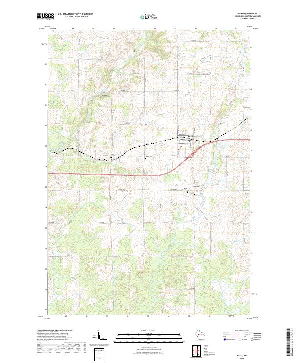 2022 Boyd2022 Print · USGSThe village of Boyd and the hamlet of Edson are shown here in the early twenty-first century amidst a network of rural county highways. Genealogists can trace family connections at Saint Joseph Cem, Saint Peter Cem, and Union Cem along the Yellow River.
 - 2022 Map of Lake Eau Claire East, 2022 Print
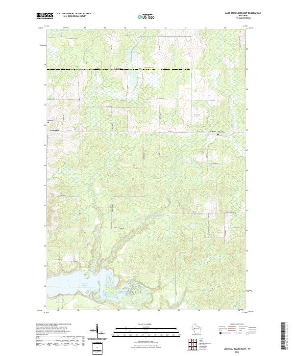 2022 Lake Eau Claire East2022 Print · USGSThe rural border of Eau Claire and Chippewa counties comes into focus in this recent survey. Researchers can trace the banks of Lake Eau Claire and locate family history at Saint Peters Catholic Cemetery or Ludington Cemetery.
End of results
Showing maps 1-4 of 4
Top cities near Edson
- Stanley historical maps
- Eagle Point historical maps
- Seymour historical maps
- Anson historical maps
- Thorp historical maps
- Augusta historical maps
See more
Frequently asked questions
- What are the different types of historical maps available for Edson?
- What is the oldest map of Edson?
- Where can I purchase historical maps of Edson for my home or office?
- Where can I download high-res historical maps of Edson?
- Are there historical topographic maps available for Edson?
- Is there historical aerial imagery available for Edson?
- Where are historical maps of Edson sourced from?