2000s (21st Century) Maps of Loyal, Wisconsin
Explore 4 historic maps of Loyal from the 2000s (21st Century). These maps offer a rare glimpse into what life looked like during the 2000s — showing old roads, neighborhoods, homes, and landmarks that have changed or disappeared over time.
Whether you're researching your family's past, planning a metal detecting trip, or studying how Loyal's landscape evolved across the 2000s, these high-resolution maps are a powerful tool for exploring the history of this region.
- Focus on a specific era: All maps on this page are from the 2000s, giving you a focused view of this time period.
- See what’s changed: Compare century-old streets, trails, and buildings to today's modern landscape using overlays and satellite layers.
- Research with precision: Use these maps for genealogy, historical research, land use analysis, or educational projects.
- View, download, or print: Maps are fully viewable online in high resolution, and can be downloaded or printed for your own records.
Start exploring Loyal's history through authentic maps from the 2000s. This is your window into the past.
Loyal, WI maps
(4)- 2022 Map of Loyal East, 2022 Print
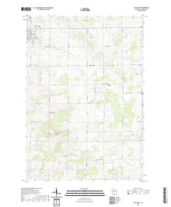 2022 Loyal East2022 Print · USGSClark County dairy country is captured in the early 2020s, showing a landscape shaped by rural tradition and systematic land division. Researchers can trace family history through sites like Loyal City Cem or the rural Spokeville crossroads.
 - 2022 Map of Riplinger, 2022 Print
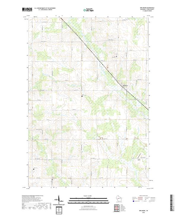 2022 Riplinger2022 Print · USGSClark County dairy country is captured here in the early 2020s, showing a landscape of family farms and wetland drainages. Genealogists can locate several local burial sites such as Trinity Cem and Pine Grove Cem near the community of Riplinger.
 - 2022 Map of Loyal West, 2022 Print
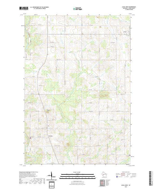 2022 Loyal West2022 Print · USGSClark County dairy country and small rural crossroads appear here in the early twenty-first century. Genealogists and local historians can locate family burial sites at East Side Cem and York Center Cem or trace the early settlement at Christie and Loyal.
 - 2022 Map of Greenwood, 2022 Print
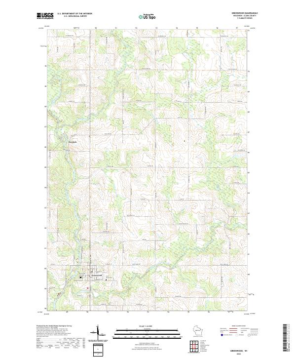 2022 Greenwood2022 Print · USGSGreenwood and the surrounding Clark County townships are shown here as they appear today, centering on the Black River valley. Genealogists and local historians can trace burial sites at Greenwood City Cem or Saint Marys Cem, and locate the settlement of Hemlock.
End of results
Showing maps 1-4 of 4
Top cities near Loyal
- Neillsville historical maps
- Spencer historical maps
- Abbotsford historical maps
- Loyal historical maps
- Colby historical maps
- Greenwood historical maps
See more
Frequently asked questions
- What are the different types of historical maps available for Loyal?
- What is the oldest map of Loyal?
- Where can I purchase historical maps of Loyal for my home or office?
- Where can I download high-res historical maps of Loyal?
- Are there historical topographic maps available for Loyal?
- Is there historical aerial imagery available for Loyal?
- Where are historical maps of Loyal sourced from?