Old Maps of Cambria, Wisconsin for Genealogy
Trace your family roots with 17 historic maps of Cambria. These high-res maps reveal old neighborhoods, homesites, landmarks, and streets — helping you uncover where your ancestors lived and how the area evolved over time.
- Explore historic neighborhoods: Identify where your relatives may have lived in the 1800s or 1900s.
- Compare maps over time: Trace the changes in streets, buildings, and landmarks for multi-generational research.
- Perfect for genealogy & ancestry research: Used by family historians and researchers to map out lineage and migration.
These maps are an incredible resource for exploring your personal connection to Cambria's past.
Cambria, WI maps
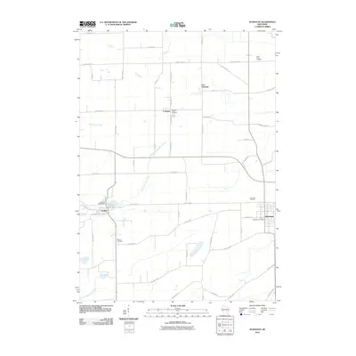
(17)- 1955 Map of Randolph, 1956 Print
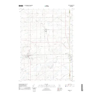
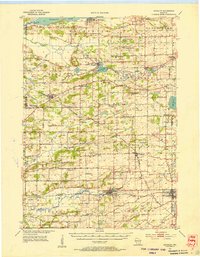 1955 Randolph1956 Print · USGSDodge and Columbia counties are seen here in the mid-fifties, dominated by prairie farming and the rail lines connecting towns like Friesland and Cambria. Researchers can trace the heritage of rural education and faith through sites like Penrhos Sch and Rosedale Ch.2 unique versions available
 - 1957 Map of Madison, 1967 Print
 1957 Madison1967 Print · USGSSouth-central Wisconsin in the mid-fifties reveals a landscape of industrial hubs and glacial lakes linked by a dense rail and highway network. Genealogists and historians can trace the development of lakeside communities and find notable sites like Badger Ordnance Works and the Horicon National Wildlife Refuge.3 unique versions available
 - 1960 Map of Madison
 1960 Madison1960 Print · USGSCentral and Southern Wisconsin are captured in the late fifties, showing the region as its rail-and-river network matured. Trace the paths of the Soo Line RR or locate family roots near Lake Mendota and Horicon National Wildlife Refuge.2 unique versions available
 - 1980 Map of Randolph, 1981 Print
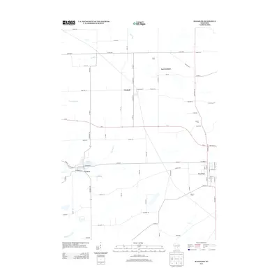
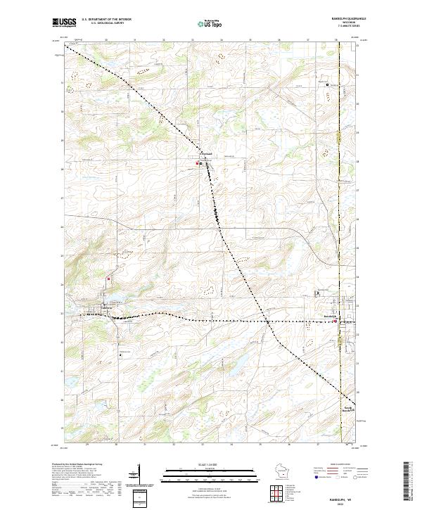
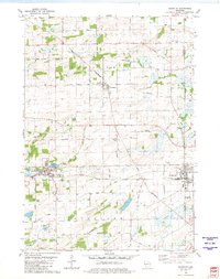 1980 Randolph1981 Print · USGSDodge and Columbia Counties at the start of the eighties show a landscape of thriving agricultural villages and critical rail junctions. Genealogists can locate family landmarks like Blaen Y Cae Cem or trace rural farm-to-market routes like Friesland Road and Vaughn Road.
 - 1980 Map of Sand Spring Creek, 1981 Print
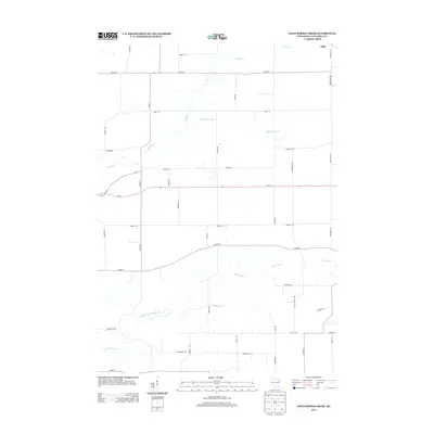
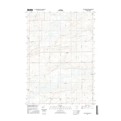
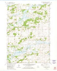 1980 Sand Spring Creek1981 Print · USGSColumbia County’s rural townships are shown in the early 1980s as the landscape transitions from the Fox River marshes to productive farmland. Genealogists and local historians can trace family road names and locate the Portage Prairie Cem or the Rosedale Ch along the Chicago Milwaukee St Paul and Pacific line.
 - 1985 Map of Wisconsin Dells
 1985 Wisconsin Dells1985 Print · USGSCentral Wisconsin in the mid-eighties was a landscape of intricate river bends, rail junctions, and sprawling marshlands. Researchers can trace historic routes along the Soo Line or locate family landmarks near Lyndon Station, Buffalo Lake, and Puckaway Lake.
 - 1990 Map of Wisconsin Dells, 1991 Print
 1990 Wisconsin Dells1991 Print · USGSCentral Wisconsin's river valleys and lake country are captured in detail here during the late twentieth century. Researchers can trace the rail-and-water geography connecting Wisconsin Dells and Portage with landmarks like Blackhawk Island and Buffalo Lake.
 - 2010 Map of Sand Spring Creek, 2010 Print
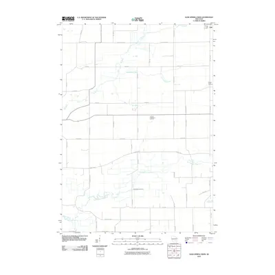 2010 Sand Spring Creek2010 Print · USGSCovers Cambria, including Marcellon, Scott, and other nearby areas
 - 2010 Map of Randolph, 2010 Print
 2010 Randolph2010 Print · USGSCovers Cambria, including Randolph, Friesland, and other nearby areas
 - 2013 Map of Sand Spring Creek, 2013 Print
 2013 Sand Spring Creek2013 Print · USGSCovers Cambria, including Marcellon, Scott, and other nearby areas
 - 2013 Map of Randolph, 2013 Print
 2013 Randolph2013 Print · USGSCovers Cambria, including Randolph, Friesland, and other nearby areas
 - 2016 Map of Randolph, 2016 Print
 2016 Randolph2016 Print · USGSCovers Cambria, including Randolph, Friesland, and other nearby areas
 - 2016 Map of Sand Spring Creek, 2016 Print
 2016 Sand Spring Creek2016 Print · USGSCovers Cambria, including Marcellon, Scott, and other nearby areas
 - 2018 Map of Randolph, 2018 Print
 2018 Randolph2018 Print · USGSCovers Cambria, including Randolph, Friesland, and other nearby areas
 - 2018 Map of Sand Spring Creek, 2018 Print
 2018 Sand Spring Creek2018 Print · USGSCovers Cambria, including Marcellon, Scott, and other nearby areas
 - 2022 Map of Randolph, 2022 Print
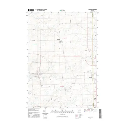
 2022 Randolph2022 Print · USGSThe agricultural landscape of Columbia and Dodge counties is mapped in detail here as it appeared in the early 2020s. Genealogists can locate several family landmarks and burial sites including Engedi Cem, Randolph Cem, and the village of Friesland.
 - 2022 Map of Sand Spring Creek, 2022 Print
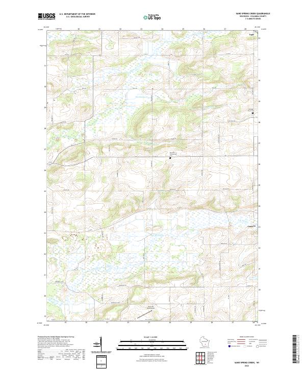 2022 Sand Spring Creek2022 Print · USGSColumbia County at the turn of the 2020s shows a landscape defined by the winding Fox River and extensive marshlands. Family historians can trace local landmarks like Portage Prairie Cem and Rosedale Presbyterian Cem or the rural outskirts of Cambria.
End of results
Showing maps 1-17 of 17
Top cities near Cambria
- Columbus historical maps
- Pardeeville historical maps
- Fall River historical maps
- Fox Lake historical maps
- Markesan historical maps
- Marcellon historical maps
See more
Frequently asked questions
- What are the different types of historical maps available for Cambria?
- What is the oldest map of Cambria?
- Where can I purchase historical maps of Cambria for my home or office?
- Where can I download high-res historical maps of Cambria?
- Are there historical topographic maps available for Cambria?
- Is there historical aerial imagery available for Cambria?
- Where are historical maps of Cambria sourced from?