Old Maps of Doylestown, Wisconsin for Genealogy
Trace your family roots with 6 historic maps of Doylestown. These high-res maps reveal old neighborhoods, homesites, landmarks, and streets — helping you uncover where your ancestors lived and how the area evolved over time.
- Explore historic neighborhoods: Identify where your relatives may have lived in the 1800s or 1900s.
- Compare maps over time: Trace the changes in streets, buildings, and landmarks for multi-generational research.
- Perfect for genealogy & ancestry research: Used by family historians and researchers to map out lineage and migration.
These maps are an incredible resource for exploring your personal connection to Doylestown's past.
Doylestown, WI maps
(6)- 1955 Map of Columbus, 1956 Print
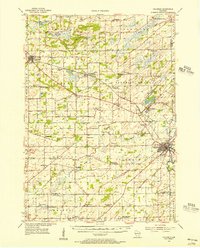 1955 Columbus1956 Print · USGSColumbia County’s dairy and rail corridor is captured here in the mid-fifties, centered on the growing community of Columbus. Genealogists can trace family names at St Joseph Cem or locate the many country schools like McKinley Sch and Hampden Sch.2 unique versions available
 - 1957 Map of Madison, 1967 Print
 1957 Madison1967 Print · USGSSouth-central Wisconsin in the mid-fifties reveals a landscape of industrial hubs and glacial lakes linked by a dense rail and highway network. Genealogists and historians can trace the development of lakeside communities and find notable sites like Badger Ordnance Works and the Horicon National Wildlife Refuge.3 unique versions available
 - 1960 Map of Madison
 1960 Madison1960 Print · USGSCentral and Southern Wisconsin are captured in the late fifties, showing the region as its rail-and-river network matured. Trace the paths of the Soo Line RR or locate family roots near Lake Mendota and Horicon National Wildlife Refuge.2 unique versions available
 - 1980 Map of Rio, 1981 Print
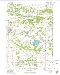 1980 Rio1981 Print · USGSColumbia County is shown in the early 1980s as a vital intersection of rail transport and wildlife conservation. Genealogists and local historians can trace family locations near Rio and Doylestown, or locate landmarks like the Bonnett Prairie Cemetery and St. Joseph Cemetery.
 - 1991 Map of Madison
 1991 Madison1991 Print · USGSMadison and its iconic glacial lakes are captured here during a time of steady urban expansion and regional growth. Researchers can trace the mid-century development of the University of Wisconsin, locate family sites near Forest Hill Cem, or explore the footprint of the Badger Army Ammunition Plant.
 - 2022 Map of Rio, 2022 Print
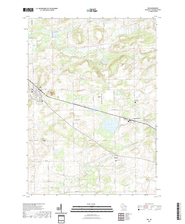 2022 Rio2022 Print · USGSColumbia County’s dairy and wetland landscapes are captured here in the early twenty-first century, centered on the villages of Rio and Doylestown. Genealogists can locate several historic burial sites, including Ohio Cem, Bonnet Prairie Cem, and Otsego Cem.
End of results
Showing maps 1-6 of 6
Top cities near Doylestown
- Sun Prairie historical maps
- DeForest historical maps
- Windsor historical maps
- Columbus historical maps
- Town of Bristol historical maps
- Dekorra historical maps
See more
Frequently asked questions
- What are the different types of historical maps available for Doylestown?
- What is the oldest map of Doylestown?
- Where can I purchase historical maps of Doylestown for my home or office?
- Where can I download high-res historical maps of Doylestown?
- Are there historical topographic maps available for Doylestown?
- Is there historical aerial imagery available for Doylestown?
- Where are historical maps of Doylestown sourced from?