Old Maps of Sturgeon Bay, Wisconsin for Academic Research
Study the evolution of Sturgeon Bay with 16 high-resolution historic maps. Whether you're teaching, researching, or modeling changes in land use, these maps provide essential visual documentation of urban, environmental, and geographic change.
- Analyze long-term change: Track patterns in development, transportation, and natural features.
- Ideal for environmental or urban studies: Support academic projects with primary historical map data.
- Use in the classroom or lab: Educators and researchers rely on these maps to bring historical context to life.
These maps are a powerful tool for teaching, research, and visualizing how Sturgeon Bay has changed over the decades.
Sturgeon Bay, WI maps
(16)- 1954 Map of Manitowoc, 1968 Print
 1954 Manitowoc1968 Print · USGSLake Michigan served as a vital transit corridor in the mid-fifties, with car and auto ferries linking the industrial ports of Wisconsin to the Michigan timberlands. Genealogists and maritime historians can trace active ferry routes like the Ann Arbor Railway Car and Auto Ferry and locate early settlements from Brussels to Algoma.2 unique versions available
 - 1958 Map of Manitowoc
 1958 Manitowoc1958 Print · USGSLake Michigan and its shorelines are shown in the late fifties when maritime transport defined the region. Researchers can trace the routes of the Ann Arbor Railroad Ferry or locate old settlements like St. Nazianz, Rostock, and Two Creeks.
 - 1960 Map of Sturgeon Bay, 1962 Print
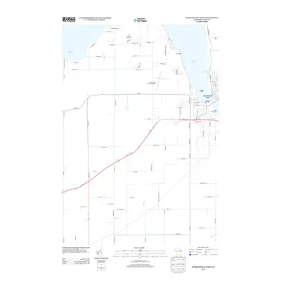
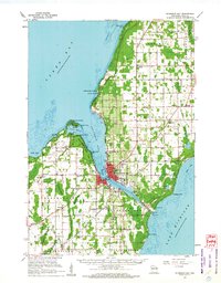 1960 Sturgeon Bay1962 Print · USGSThe Door County peninsula in the early sixties shows a bustling maritime corridor defined by the Sturgeon Bay ship canal. Researchers can locate numerous vanished country schoolhouses like Hainesville Sch, the Ahnapee and Western rail line, and family landmarks like Monument Point.
 - 1981 Map of Sturgeon Bay West
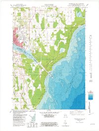
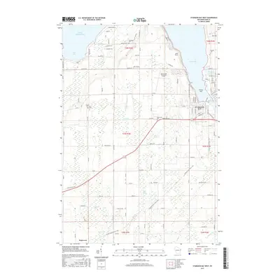
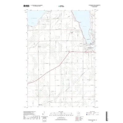
 1981 Sturgeon Bay West1981 Print · USGSThe Door Peninsula's rugged coast and maritime corridors are captured here in the early eighties. Genealogists and historians can trace family-named sites like Schulties Cem, the old Ahnapee and Western rail line, and Hainesville.
 - 1981 Map of Sturgeon Bay East
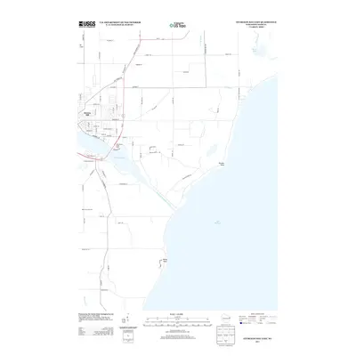
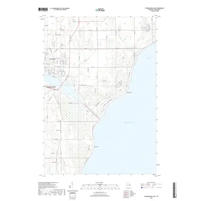
 1981 Sturgeon Bay East1981 Print · USGSThe Door County coast comes alive in the early eighties as the city of Sturgeon Bay expands toward Lake Michigan. Genealogy and local-history researchers can locate the St Joseph Cem, the Drive-in Theater, and the U S Coast Guard Station.2 unique versions available
 - 1984 Map of Sturgeon Bay, 1985 Print
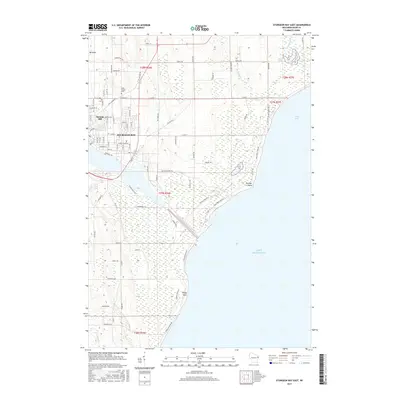
 1984 Sturgeon Bay1985 Print · USGSDoor Peninsula and the Kewaunee coast are documented here in the mid-eighties, showing the deep-water harbor at Sturgeon Bay and the rural agricultural interior. Genealogists can trace family roots through crossroads towns like Kolberg, Duvall, and Sugar Bush.2 unique versions available
 - 2010 Map of Sturgeon Bay East, 2010 Print
 2010 Sturgeon Bay East2010 Print · USGSCovers Sturgeon Bay, including Stevens Hill, Sevastopol, and other nearby areas
 - 2010 Map of Sturgeon Bay West, 2010 Print
 2010 Sturgeon Bay West2010 Print · USGSCovers Sturgeon Bay, including Nasewaupee, Forestville, and other nearby areas
 - 2013 Map of Sturgeon Bay West, 2013 Print
 2013 Sturgeon Bay West2013 Print · USGSCovers Sturgeon Bay, including Nasewaupee, Forestville, and other nearby areas
 - 2013 Map of Sturgeon Bay East, 2013 Print
 2013 Sturgeon Bay East2013 Print · USGSCovers Sturgeon Bay, including Stevens Hill, Sevastopol, and other nearby areas
 - 2015 Map of Sturgeon Bay West, 2015 Print
 2015 Sturgeon Bay West2015 Print · USGSCovers Sturgeon Bay, including Nasewaupee, Forestville, and other nearby areas
 - 2015 Map of Sturgeon Bay East, 2015 Print
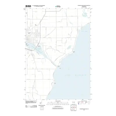
 2015 Sturgeon Bay East2015 Print · USGSCovers Sturgeon Bay, including Stevens Hill, Sevastopol, and other nearby areas
 - 2018 Map of Sturgeon Bay East, 2018 Print
 2018 Sturgeon Bay East2018 Print · USGSCovers Sturgeon Bay, including Stevens Hill, Sevastopol, and other nearby areas
 - 2018 Map of Sturgeon Bay West, 2018 Print
 2018 Sturgeon Bay West2018 Print · USGSCovers Sturgeon Bay, including Nasewaupee, Forestville, and other nearby areas
 - 2022 Map of Sturgeon Bay West, 2022 Print
 2022 Sturgeon Bay West2022 Print · USGSDoor County’s western shoreline and the city of Sturgeon Bay are captured in the early 2020s, showing a mix of maritime industry and rural farmland. Genealogists can locate several family and community landmarks, including Hainesville Cem, Schumacher Cem, and the village of Maplewood.
 - 2022 Map of Sturgeon Bay East, 2022 Print
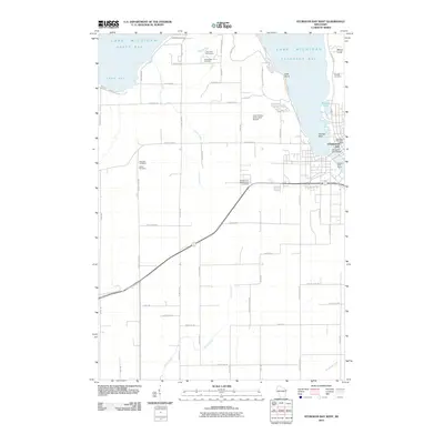
 2022 Sturgeon Bay East2022 Print · USGSThe eastern reaches of Sturgeon Bay and the Lake Michigan shoreline are captured here in the early twenty-first century. Genealogists and local historians can trace the city’s expansion toward Stevens Hill, the grounds of Saint Joseph Cem, and the vital Sturgeon Bay Ship Canal.
End of results
Showing maps 1-16 of 16
Top cities near Sturgeon Bay
- Sturgeon Bay historical maps
- Algoma historical maps
- Brussels historical maps
- Baileys Harbor historical maps
- Lincoln historical maps
- Jacksonport historical maps
See more
Frequently asked questions
- What are the different types of historical maps available for Sturgeon Bay?
- What is the oldest map of Sturgeon Bay?
- Where can I purchase historical maps of Sturgeon Bay for my home or office?
- Where can I download high-res historical maps of Sturgeon Bay?
- Are there historical topographic maps available for Sturgeon Bay?
- Is there historical aerial imagery available for Sturgeon Bay?
- Where are historical maps of Sturgeon Bay sourced from?