2000s (21st Century) Maps of Superior, Wisconsin
Explore 15 historic maps of Superior from the 2000s (21st Century). These maps offer a rare glimpse into what life looked like during the 2000s — showing old roads, neighborhoods, homes, and landmarks that have changed or disappeared over time.
Whether you're researching your family's past, planning a metal detecting trip, or studying how Superior's landscape evolved across the 2000s, these high-resolution maps are a powerful tool for exploring the history of this region.
- Focus on a specific era: All maps on this page are from the 2000s, giving you a focused view of this time period.
- See what’s changed: Compare century-old streets, trails, and buildings to today's modern landscape using overlays and satellite layers.
- Research with precision: Use these maps for genealogy, historical research, land use analysis, or educational projects.
- View, download, or print: Maps are fully viewable online in high resolution, and can be downloaded or printed for your own records.
Start exploring Superior's history through authentic maps from the 2000s. This is your window into the past.
Superior, WI maps
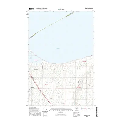
(15)- 2010 Map of West Duluth, 2010 Print
 2010 West Duluth2010 Print · USGSCovers Superior, including Duluth, Proctor, and other nearby areas
 - 2010 Map of Superior, 2010 Print
 2010 Superior2010 Print · USGSCovers Superior, including Duluth, Parkland, and other nearby areas
 - 2010 Map of Parkland, 2010 Print
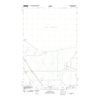 2010 Parkland2010 Print · USGSCovers Superior, including Parkland, Lakeside, and other nearby areas
 - 2013 Map of Superior, 2013 Print
 2013 Superior2013 Print · USGSCovers Superior, including Duluth, Parkland, and other nearby areas
 - 2013 Map of Parkland, 2013 Print
 2013 Parkland2013 Print · USGSCovers Superior, including Parkland, Lakeside, and other nearby areas
 - 2013 Map of West Duluth, 2013 Print
 2013 West Duluth2013 Print · USGSCovers Superior, including Duluth, Proctor, and other nearby areas
 - 2015 Map of Superior, 2015 Print
 2015 Superior2015 Print · USGSCovers Superior, including Duluth, Parkland, and other nearby areas
 - 2015 Map of Parkland, 2015 Print
 2015 Parkland2015 Print · USGSCovers Superior, including Parkland, Lakeside, and other nearby areas
 - 2016 Map of West Duluth, 2016 Print
 2016 West Duluth2016 Print · USGSCovers Superior, including Duluth, Proctor, and other nearby areas
 - 2018 Map of Superior, 2018 Print
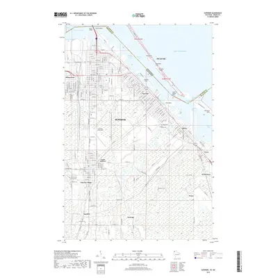 2018 Superior2018 Print · USGSCovers Superior, including Duluth, Parkland, and other nearby areas
 - 2018 Map of Parkland, 2018 Print
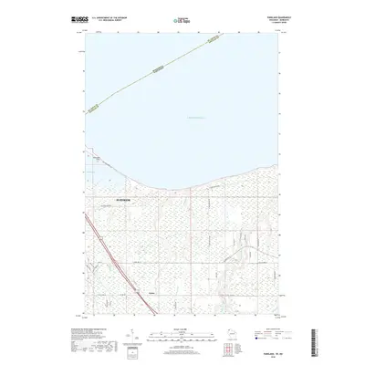 2018 Parkland2018 Print · USGSCovers Superior, including Parkland, Lakeside, and other nearby areas
 - 2019 Map of West Duluth, 2019 Print
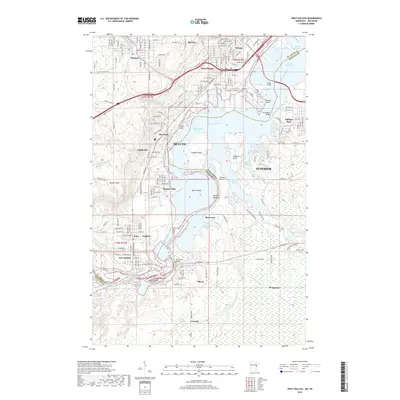 2019 West Duluth2019 Print · USGSCovers Superior, including Duluth, Proctor, and other nearby areas
 - 2022 Map of Superior, 2022 Print
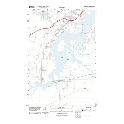
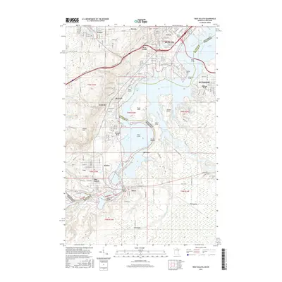
 2022 Superior2022 Print · USGSThe industrial waterfront of Superior and the crossing into Duluth appear in high detail at the start of the 2020s. Genealogists and historians can trace numerous burial grounds like Nemadji Cemetery and Graceland Cemetery or locate the University of Wisconsin Superior.
 - 2022 Map of Parkland, 2022 Print
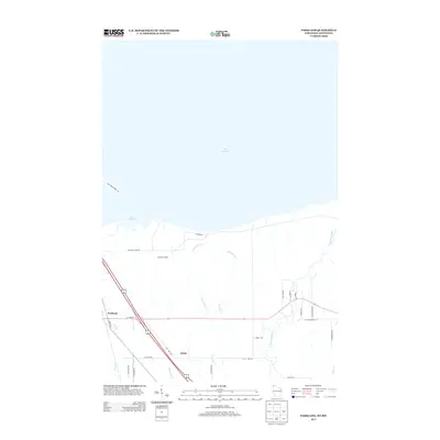
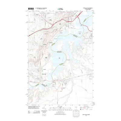
 2022 Parkland2022 Print · USGSThe Lake Superior shoreline near Superior, Wisconsin, comes to life in this contemporary mapping of the region's unique coastal geography. Researchers can trace the narrow Wisconsin Point peninsula or explore the drainage of the Amnicon River and the rural settlement of Cutter.
 - 2022 Map of West Duluth, 2022 Print
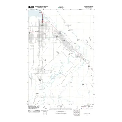
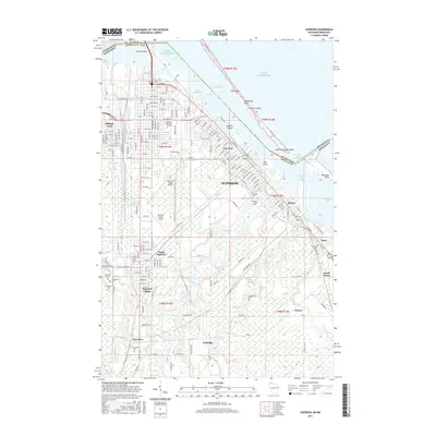
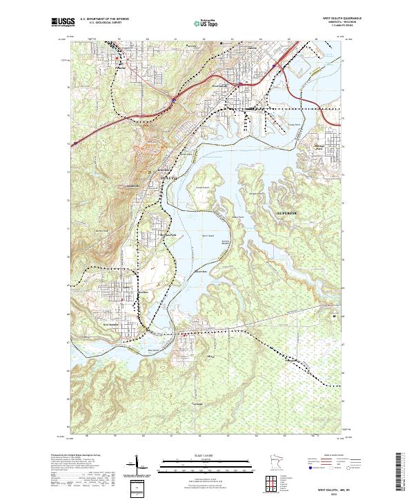 2022 West Duluth2022 Print · USGSThe industrial and riverine landscape south of Duluth is captured here in the early twenty-first century. Genealogists and local historians can trace the foundations of neighborhoods like Morgan Park, New Duluth, and Oneota alongside the Saint Louis River.
End of results
Showing maps 1-15 of 15
Top cities near Superior
- Duluth historical maps
- Hermantown historical maps
- Proctor historical maps
- Lakewood historical maps
- Parkland historical maps
- Hawthorne historical maps
See more
Top neighborhoods of Superior
- Wisconsin Point historical maps
- Itasca historical maps
- Billings Park historical maps
- Allouez historical maps
- East End historical maps
- North End historical maps
See more
Frequently asked questions
- What are the different types of historical maps available for Superior?
- What is the oldest map of Superior?
- Where can I purchase historical maps of Superior for my home or office?
- Where can I download high-res historical maps of Superior?
- Are there historical topographic maps available for Superior?
- Is there historical aerial imagery available for Superior?
- Where are historical maps of Superior sourced from?