2020s Maps of Albany, Wisconsin
Explore 4 historic maps of Albany from the 2020s. These maps offer a rare glimpse into what life looked like during the 2020s — showing old roads, neighborhoods, homes, and landmarks that have changed or disappeared over time.
Whether you're researching your family's past, planning a metal detecting trip, or studying how Albany's landscape evolved across the 2020s, these high-resolution maps are a powerful tool for exploring the history of this region.
- Focus on a specific era: All maps on this page are from the 2020s, giving you a focused view of this time period.
- See what’s changed: Compare century-old streets, trails, and buildings to today's modern landscape using overlays and satellite layers.
- Research with precision: Use these maps for genealogy, historical research, land use analysis, or educational projects.
- View, download, or print: Maps are fully viewable online in high resolution, and can be downloaded or printed for your own records.
Start exploring Albany's history through authentic maps from the 2020s. This is your window into the past.
Albany, WI maps
(4)- 2022 Map of Attica, 2022 Print
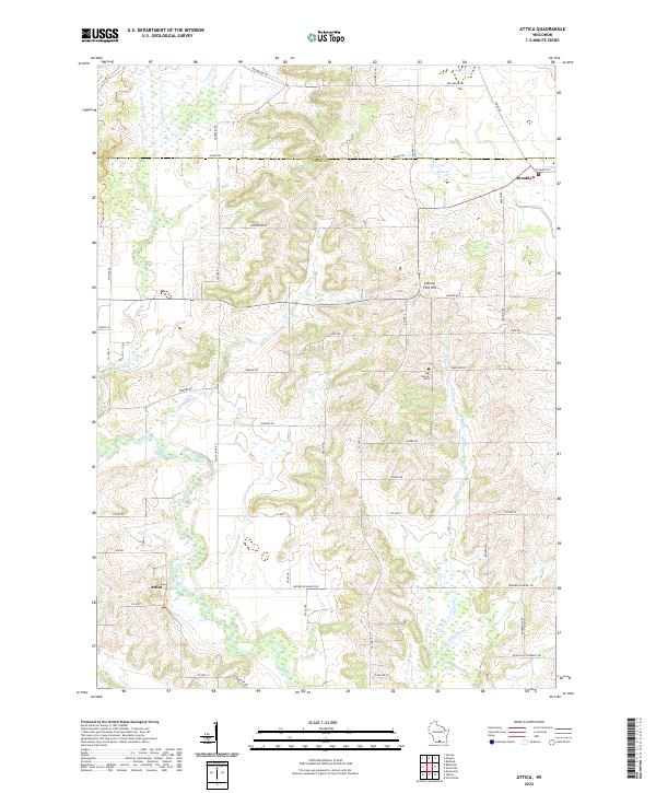 2022 Attica2022 Print · USGSThe Green and Dane County line comes into focus in the early 2020s, showing the rural landscapes surrounding Brooklyn and the Sugar River. Genealogists and local historians can trace family landmarks like Jug Prairie Cem and the heights of Liberty Pole Hill.
 - 2022 Map of Evansville, 2022 Print
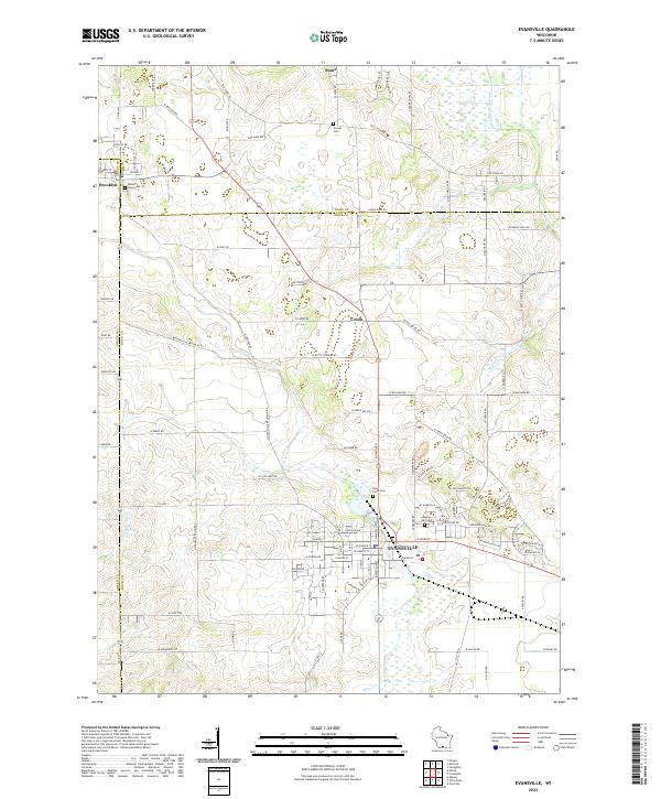 2022 Evansville2022 Print · USGSSouthern Wisconsin farmland meets the growing city of Evansville in the early 2020s. Researchers can trace historic property boundaries and cemetery locations like Mount Hope Cem and Maple Hill Cem along the Allen Creek corridor.
 - 2022 Map of Albany, 2022 Print
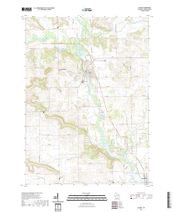 2022 Albany2022 Print · USGSGreen County's river valleys and trail systems are preserved in this recent survey of the Albany area. Local researchers can locate several historical burial grounds like Hillcrest Cem and Norwegian Cem alongside the winding Sugar River.
 - 2022 Map of Orfordville, 2022 Print
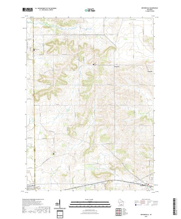 2022 Orfordville2022 Print · USGSThe rolling agricultural border of Rock and Green Counties comes into focus in this recent survey. Researchers can trace rural landmarks from Orfordville to Magnolia, including Scotch Hill Cemetery and Calvary Cemetery.
End of results
Showing maps 1-4 of 4
Top cities near Albany
- Fitchburg historical maps
- Stoughton historical maps
- Monroe historical maps
- Oregon historical maps
- Evansville historical maps
- Brodhead historical maps
See more
Frequently asked questions
- What are the different types of historical maps available for Albany?
- What is the oldest map of Albany?
- Where can I purchase historical maps of Albany for my home or office?
- Where can I download high-res historical maps of Albany?
- Are there historical topographic maps available for Albany?
- Is there historical aerial imagery available for Albany?
- Where are historical maps of Albany sourced from?