2000s (21st Century) Maps of Brooklyn, Wisconsin
Explore 20 historic maps of Brooklyn from the 2000s (21st Century). These maps offer a rare glimpse into what life looked like during the 2000s — showing old roads, neighborhoods, homes, and landmarks that have changed or disappeared over time.
Whether you're researching your family's past, planning a metal detecting trip, or studying how Brooklyn's landscape evolved across the 2000s, these high-resolution maps are a powerful tool for exploring the history of this region.
- Focus on a specific era: All maps on this page are from the 2000s, giving you a focused view of this time period.
- See what’s changed: Compare century-old streets, trails, and buildings to today's modern landscape using overlays and satellite layers.
- Research with precision: Use these maps for genealogy, historical research, land use analysis, or educational projects.
- View, download, or print: Maps are fully viewable online in high resolution, and can be downloaded or printed for your own records.
Start exploring Brooklyn's history through authentic maps from the 2000s. This is your window into the past.
Brooklyn, WI maps
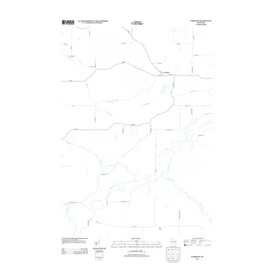
(20)- 2010 Map of Fairburn, 2010 Print
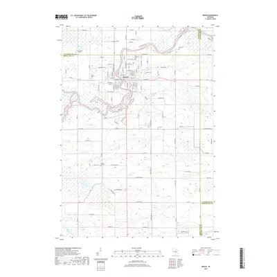
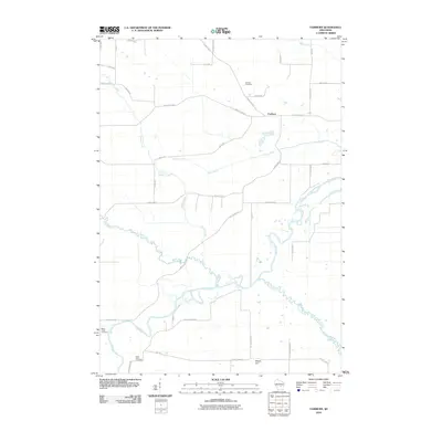 2010 Fairburn2010 Print · USGSCovers Brooklyn, including Seneca, St. Marie, and other nearby areas
 - 2010 Map of Princeton East, 2010 Print
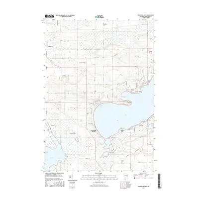
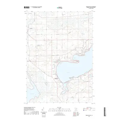
 2010 Princeton East2010 Print · USGSCovers Brooklyn, including Princeton, Marquette, and other nearby areas
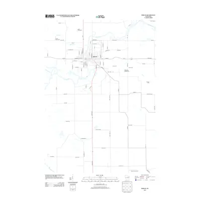
 - 2010 Map of Berlin, 2010 Print
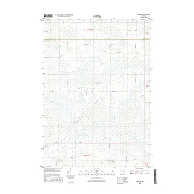
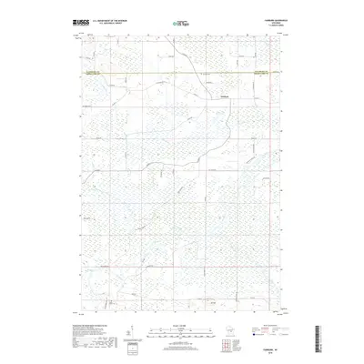
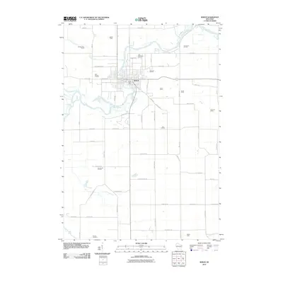 2010 Berlin2010 Print · USGSCovers Brooklyn, including Berlin, City of Berlin, and other nearby areas
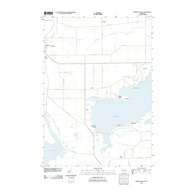
 - 2010 Map of Green Lake, 2010 Print
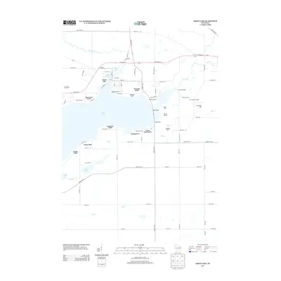
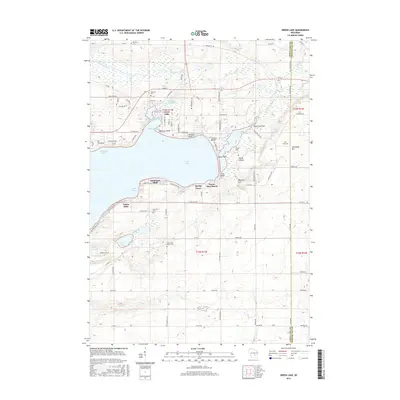
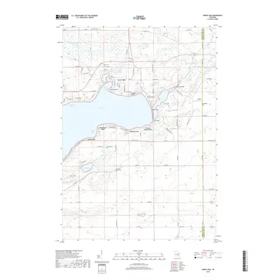
 2010 Green Lake2010 Print · USGSCovers Brooklyn, including Green Lake, City of Green Lake, and other nearby areas
 - 2013 Map of Green Lake, 2013 Print
 2013 Green Lake2013 Print · USGSCovers Brooklyn, including Green Lake, City of Green Lake, and other nearby areas
 - 2013 Map of Princeton East, 2013 Print
 2013 Princeton East2013 Print · USGSCovers Brooklyn, including Princeton, Marquette, and other nearby areas
 - 2013 Map of Fairburn, 2013 Print
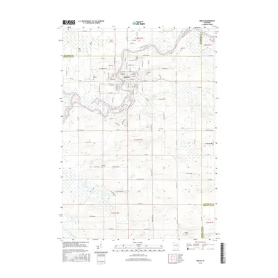
 2013 Fairburn2013 Print · USGSCovers Brooklyn, including Seneca, St. Marie, and other nearby areas
 - 2013 Map of Berlin, 2013 Print
 2013 Berlin2013 Print · USGSCovers Brooklyn, including Berlin, City of Berlin, and other nearby areas
 - 2015 Map of Berlin, 2015 Print
 2015 Berlin2015 Print · USGSCovers Brooklyn, including Berlin, City of Berlin, and other nearby areas
 - 2015 Map of Green Lake, 2015 Print
 2015 Green Lake2015 Print · USGSCovers Brooklyn, including Green Lake, City of Green Lake, and other nearby areas
 - 2016 Map of Princeton East, 2016 Print
 2016 Princeton East2016 Print · USGSCovers Brooklyn, including Princeton, Marquette, and other nearby areas
 - 2016 Map of Fairburn, 2016 Print
 2016 Fairburn2016 Print · USGSCovers Brooklyn, including Seneca, St. Marie, and other nearby areas
 - 2018 Map of Green Lake, 2018 Print
 2018 Green Lake2018 Print · USGSCovers Brooklyn, including Green Lake, City of Green Lake, and other nearby areas
 - 2018 Map of Fairburn, 2018 Print
 2018 Fairburn2018 Print · USGSCovers Brooklyn, including Seneca, St. Marie, and other nearby areas
 - 2018 Map of Princeton East, 2018 Print
 2018 Princeton East2018 Print · USGSCovers Brooklyn, including Princeton, Marquette, and other nearby areas
 - 2018 Map of Berlin, 2018 Print
 2018 Berlin2018 Print · USGSCovers Brooklyn, including Berlin, City of Berlin, and other nearby areas
 - 2022 Map of Green Lake, 2022 Print
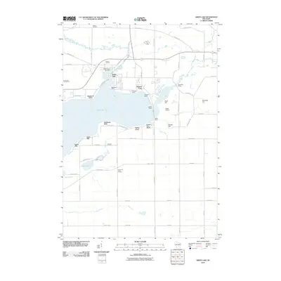
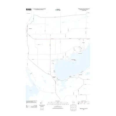
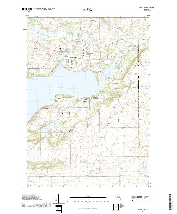 2022 Green Lake2022 Print · USGSThe glacial waters of Green Lake and its surrounding communities are documented here in the early twenty-first century. Researchers can trace family sites at Dartford Cem or Green Lake Center Cem and locate landmarks from Sandstone Bluff to Skunk Hollow.
 - 2022 Map of Princeton East, 2022 Print
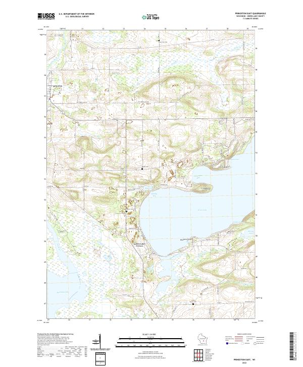 2022 Princeton East2022 Print · USGSThe Fox River valley and the western shores of Green Lake are captured in this modern survey of central Wisconsin. Genealogists and local historians can trace family plots at Dayton Cemetery or Mount Tom Cemetery and locate points like the Sugarloaf.
 - 2022 Map of Fairburn, 2022 Print
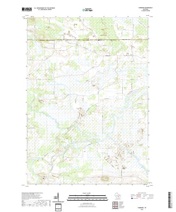 2022 Fairburn2022 Print · USGSGreen Lake County at the start of the 2020s shows a landscape shaped by its river systems and rural road networks. Genealogists can locate family sites at Saint Paul's Lutheran Cem or State Center Cem, while exploring the riverbanks of the Fox River and White River.
 - 2022 Map of Berlin, 2022 Print
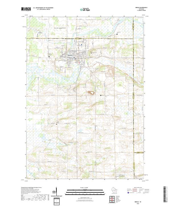 2022 Berlin2022 Print · USGSBerlin and the banks of the Fox River are captured in this recent survey of the Green Lake County region. Researchers can trace local heritage through numerous burial sites like Saint Michael's Cem and the Mascoutin Valley State Trl.
End of results
Showing maps 1-20 of 20
Top cities near Brooklyn
- Ripon historical maps
- Berlin historical maps
- City of Berlin historical maps
- Omro historical maps
- Waupun historical maps
- Redgranite historical maps
See more
Top neighborhoods of Brooklyn
- Pleasant Point historical maps
- Green Lake Station historical maps
- Sherwood Forest historical maps
- Sylvan Shores historical maps
- Terrace Beach historical maps
- Estates of Lawsonia historical maps
See more
Frequently asked questions
- What are the different types of historical maps available for Brooklyn?
- What is the oldest map of Brooklyn?
- Where can I purchase historical maps of Brooklyn for my home or office?
- Where can I download high-res historical maps of Brooklyn?
- Are there historical topographic maps available for Brooklyn?
- Is there historical aerial imagery available for Brooklyn?
- Where are historical maps of Brooklyn sourced from?