Old Maps of Allendale, Kenosha for Academic Research
Study the evolution of Allendale with 12 high-resolution historic maps. Whether you're teaching, researching, or modeling changes in land use, these maps provide essential visual documentation of urban, environmental, and geographic change.
- Analyze long-term change: Track patterns in development, transportation, and natural features.
- Ideal for environmental or urban studies: Support academic projects with primary historical map data.
- Use in the classroom or lab: Educators and researchers rely on these maps to bring historical context to life.
These maps are a powerful tool for teaching, research, and visualizing how Allendale has changed over the decades.
Allendale, Kenosha maps
(12)- 1892 Map of Racine
 1892 Racine1892 Print · USGSSoutheastern Wisconsin's lakeshore was a hub of rail and river industry at the close of the nineteenth century. Genealogists and historians can trace the early street grids of Racine and Kenosha or locate vanished rail stops at Western Union Junction and Windsor.2 unique versions available
 - 1905 Map of Racine
 1905 Racine1905 Print · USGSCoastal Wisconsin at the turn of the century is defined by its industrial lakefront and a dense web of competing rail lines. Researchers can trace the early city footprints of Racine and Kenosha alongside rail junctions like Corliss and Ranney.3 unique versions available
 - 1958 Map of Kenosha, 1960 Print
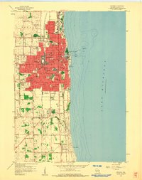 1958 Kenosha1960 Print · USGSThe Lake Michigan shoreline at Kenosha is shown here in the late 1950s during a period of significant urban expansion. Researchers can trace the three major rail lines, including the Chicago North Shore and Milwaukee, and locate local landmarks like St Josephs Sch and St Casimirs Cem.4 unique versions available
 - 1958 Map of Racine, 1971 Print
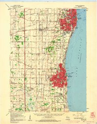
 1958 Racine1971 Print · USGSThe Lake Michigan shoreline in the late fifties was a study in contrasts between the industrial bustle of Kenosha and the quiet woods of the Allegan State Forest. Genealogists and historians can trace the urban footprint of Evanston or locate strategic sites like Fort Sheridan and the Wind Point Light.3 unique versions available
 - 1959 Map of Racine, 1960 Print
 1959 Racine1960 Print · USGSThe Lake Michigan shoreline between Racine and Kenosha in the late fifties was a bustling corridor of rail lines and rural schools. Genealogists can locate family landmarks like Mound Cemetery or trace the early days of aviation at Sylvania Airport and the Kenosha Airport.2 unique versions available
 - 1962 Map of Racine
 1962 Racine1962 Print · USGSThe Lake Michigan shoreline in the early sixties reveals a fascinating contrast between the dense industrial rail hubs of RACINE and CHICAGO and the forested dunes of Michigan. Local historians can trace military installations like Fort Sheridan or explore the numerous inland retreats around Paw Paw Lake and Sister Lakes.
 - 1980 Map of Racine, 1981 Print
 1980 Racine1981 Print · USGSThe Lake Michigan shoreline at the start of the 1980s reveals a bustling industrial corridor from Milwaukee to Kenosha. Genealogists and local historians can trace family roots through numerous sites like Forest Home Cem or locate former rail stops along the C & N W and C M St P & P lines.
 - 2010 Map of Kenosha, 2010 Print
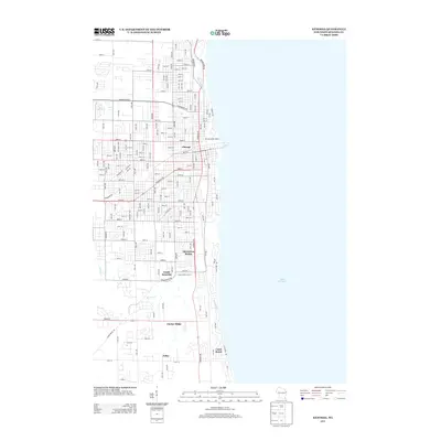
 2010 Kenosha2010 Print · USGSCovers Allendale, including Kenosha, Pleasant Prairie, and other nearby areas
 - 2013 Map of Kenosha, 2013 Print
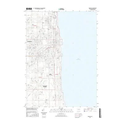
 2013 Kenosha2013 Print · USGSCovers Allendale, including Kenosha, Pleasant Prairie, and other nearby areas
 - 2016 Map of Kenosha, 2016 Print
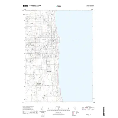
 2016 Kenosha2016 Print · USGSCovers Allendale, including Kenosha, Pleasant Prairie, and other nearby areas
 - 2018 Map of Kenosha, 2018 Print
 2018 Kenosha2018 Print · USGSCovers Allendale, including Kenosha, Pleasant Prairie, and other nearby areas
 - 2022 Map of Kenosha, 2022 Print
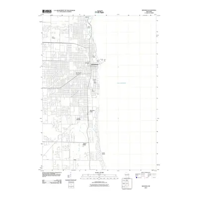
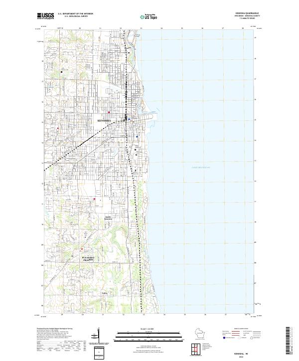 2022 Kenosha2022 Print · USGSKenosha and the surrounding lakefront townships are captured in detail as they appeared in the early 2020s. Researchers can trace ancestral plots at Saint George Cem or explore the institutional layouts of Carthage College and Pleasant Prairie.
End of results
Showing maps 1-12 of 12
Frequently asked questions
- What are the different types of historical maps available for Allendale?
- What is the oldest map of Allendale?
- Where can I purchase historical maps of Allendale for my home or office?
- Where can I download high-res historical maps of Allendale?
- Are there historical topographic maps available for Allendale?
- Is there historical aerial imagery available for Allendale?
- Where are historical maps of Allendale sourced from?