Old Maps of Rocky Corners, Guenther for Metal Detecting
Plan your next treasure hunt with 9 historic maps of Rocky Corners. Find old homesites, ghost towns, trails, and gathering spots that may be lost to time — perfect for identifying promising metal detecting locations.
- Locate forgotten sites: Uncover places like long-lost settlements, abandoned rail lines, or gathering spots.
- Plan better hunts: Use map overlays combined with LiDAR or satellite views to narrow in on historically rich areas.
- Made for detectorists: Thousands of hobbyists use these maps to discover relics, coins, and hidden history.
Use these historic maps to boost your research and find new opportunities beneath the surface of Rocky Corners.
Rocky Corners, Guenther maps
(9)- 1955 Map of Green Bay, 1968 Print
 1955 Green Bay1968 Print · USGSCentral and Eastern Wisconsin are captured here in the mid-fifties, showing the industrial growth of the Fox Valley and Wisconsin River corridors. Genealogists and historians can trace rail lines like the Green Bay and Western through settlements like Weyauwega, Clintonville, and Pulaski.2 unique versions available
 - 1956 Map of Stevens Point, 1958 Print
 1956 Stevens Point1958 Print · USGSStevens Point and the central Wisconsin River valley are captured here in the mid-fifties during a period of significant educational and infrastructure growth. Researchers can locate numerous country schools and religious landmarks, from St Francis Ch to the State Teachers College and the Cranberry Bog.2 unique versions available
 - 1970 Map of Dewey Marsh, 1972 Print
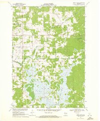 1970 Dewey Marsh1972 Print · USGSMarathon and Portage counties come together in the early 1970s within the extensive wetlands and winding river systems of Central Wisconsin. Local historians can trace the rural layout of Rocky Corners, the high point of Blackberry Hill, and the unique Philippine Islands within Dewey Marsh.2 unique versions available
 - 1984 Map of Wausau, 1990 Print
 1984 Wausau1990 Print · USGSMarathon and Portage counties come into focus during the mid-eighties as industrial river towns and sprawling conservation areas define the Central Wisconsin landscape. Researchers can trace the rail corridors of the Soo Line or locate rural landmarks like Rib Mountain State Park and St Marys Cem.
 - 2010 Map of Dewey Marsh, 2010 Print
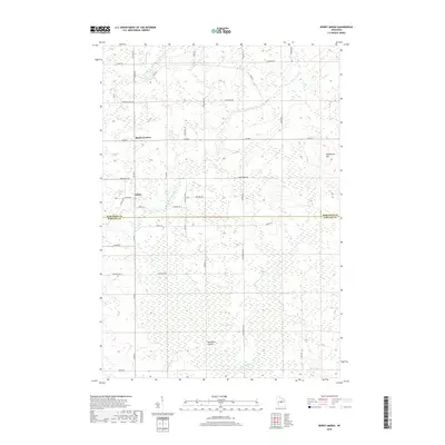
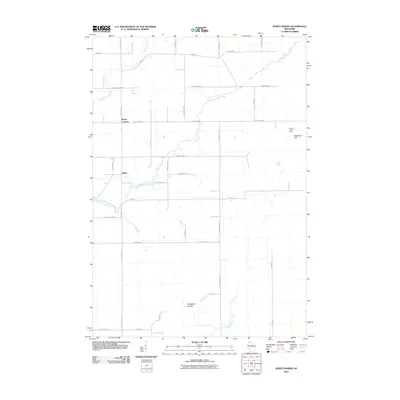 2010 Dewey Marsh2010 Print · USGSCovers Rocky Corners, including Knowlton, Dewey, and other nearby areas
 - 2013 Map of Dewey Marsh, 2013 Print
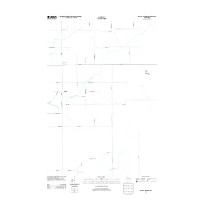 2013 Dewey Marsh2013 Print · USGSCovers Rocky Corners, including Knowlton, Dewey, and other nearby areas
 - 2015 Map of Dewey Marsh, 2015 Print
 2015 Dewey Marsh2015 Print · USGSCovers Rocky Corners, including Knowlton, Dewey, and other nearby areas
 - 2018 Map of Dewey Marsh, 2018 Print
 2018 Dewey Marsh2018 Print · USGSCovers Rocky Corners, including Knowlton, Dewey, and other nearby areas
 - 2022 Map of Dewey Marsh, 2022 Print
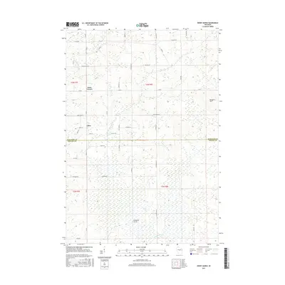
 2022 Dewey Marsh2022 Print · USGSMarathon and Portage counties come together in this 2020s study of the central Wisconsin wetlands and rural crossroads. Researchers can trace family-named routes like Zoromski Rd or locate small settlements at Rocky Corners and Ashley.
End of results
Showing maps 1-9 of 9
Top cities near Rocky Corners
- Wausau historical maps
- Stevens Point historical maps
- Weston historical maps
- Plover historical maps
- Kronenwetter historical maps
- Rib Mountain historical maps
See more
Frequently asked questions
- What are the different types of historical maps available for Rocky Corners?
- What is the oldest map of Rocky Corners?
- Where can I purchase historical maps of Rocky Corners for my home or office?
- Where can I download high-res historical maps of Rocky Corners?
- Are there historical topographic maps available for Rocky Corners?
- Is there historical aerial imagery available for Rocky Corners?
- Where are historical maps of Rocky Corners sourced from?