Old Maps of Keshena, Menominee for Metal Detecting
Plan your next treasure hunt with 10 historic maps of Keshena. Find old homesites, ghost towns, trails, and gathering spots that may be lost to time — perfect for identifying promising metal detecting locations.
- Locate forgotten sites: Uncover places like long-lost settlements, abandoned rail lines, or gathering spots.
- Plan better hunts: Use map overlays combined with LiDAR or satellite views to narrow in on historically rich areas.
- Made for detectorists: Thousands of hobbyists use these maps to discover relics, coins, and hidden history.
Use these historic maps to boost your research and find new opportunities beneath the surface of Keshena.
Keshena, Menominee maps
(10)- 1954 Map of Shawano, 1956 Print
 1954 Shawano1956 Print · USGSWisconsin’s northwoods meet the growing city of Shawano in the mid-fifties, centered on the powerful Wolf River and its falls. Genealogists can trace family landmarks like St Jakobi Ch, Red River Cem, and several local schools.
 - 1955 Map of Green Bay, 1968 Print
 1955 Green Bay1968 Print · USGSCentral and Eastern Wisconsin are captured here in the mid-fifties, showing the industrial growth of the Fox Valley and Wisconsin River corridors. Genealogists and historians can trace rail lines like the Green Bay and Western through settlements like Weyauwega, Clintonville, and Pulaski.2 unique versions available
 - 1964 Map of Shawano, 1965 Print
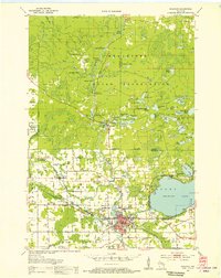
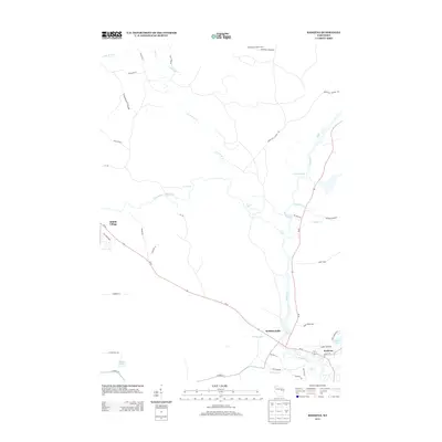
 1964 Shawano1965 Print · USGSThe Menominee Indian Reservation and the growing city of Shawano are shown here in the mid-1960s as the Wolf River winds south. Genealogists and historians can trace local landmarks like the Alexian Brothers Novitiate, Keshena School, and the West Branch Cemetery.2 unique versions available
 - 1982 Map of Keshena, 1983 Print
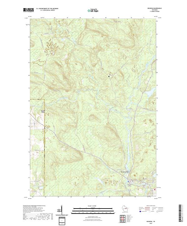
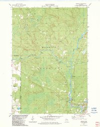 1982 Keshena1983 Print · USGSThe Menominee Indian Reservation in the early eighties was a landscape of powerful river systems and established community sites. Genealogists and historians can locate Keshena landmarks like St Michaels Ch and St Josephs Sch, or trace the many rapids and falls along the Wolf River.
 - 1984 Map of Shawano, 1985 Print
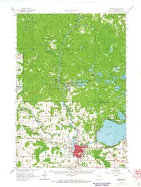
 1984 Shawano1985 Print · USGSNortheast Wisconsin in the mid-1980s was a landscape defined by its indigenous heritage and the bustling trade centers of the Fox and Wolf River valleys. Genealogists and historians can trace rail corridors like the Chicago and North Western or locate family sites near Keshena, Cecil, and the Fort Howard Cem.2 unique versions available
 - 2010 Map of Keshena, 2010 Print
 2010 Keshena2010 Print · USGSCovers Keshena, including Keshena Falls, Red Springs, and other nearby areas
 - 2013 Map of Keshena, 2013 Print
 2013 Keshena2013 Print · USGSCovers Keshena, including Keshena Falls, Red Springs, and other nearby areas
 - 2016 Map of Keshena, 2016 Print
 2016 Keshena2016 Print · USGSCovers Keshena, including Keshena Falls, Red Springs, and other nearby areas
 - 2019 Map of Keshena, 2019 Print
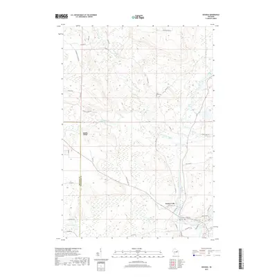 2019 Keshena2019 Print · USGSCovers Keshena, including Keshena Falls, Red Springs, and other nearby areas
 - 2022 Map of Keshena, 2022 Print
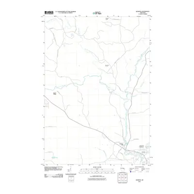
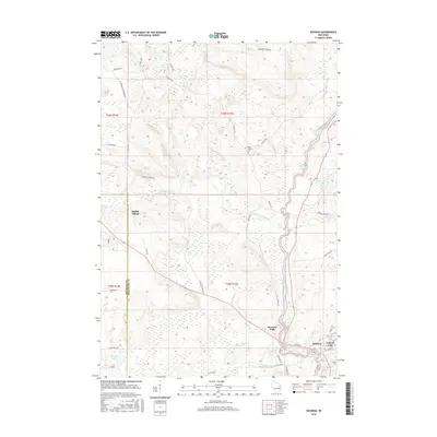
 2022 Keshena2022 Print · USGSMenominee County in the early twenty-first century is defined by its powerful river systems and tribal centers. Genealogists and local historians can trace modern infrastructure and older landmarks like Middle Village, West Branch Cem, and the Menominee County Courthouse.
End of results
Showing maps 1-10 of 10
Top cities near Keshena
- Shawano historical maps
- Belle Plaine historical maps
- Bonduel historical maps
- Pella historical maps
- Underhill historical maps
- Neopit historical maps
See more
Frequently asked questions
- What are the different types of historical maps available for Keshena?
- What is the oldest map of Keshena?
- Where can I purchase historical maps of Keshena for my home or office?
- Where can I download high-res historical maps of Keshena?
- Are there historical topographic maps available for Keshena?
- Is there historical aerial imagery available for Keshena?
- Where are historical maps of Keshena sourced from?