Old Maps of East Ridge, New London for Metal Detecting
Plan your next treasure hunt with 10 historic maps of East Ridge. Find old homesites, ghost towns, trails, and gathering spots that may be lost to time — perfect for identifying promising metal detecting locations.
- Locate forgotten sites: Uncover places like long-lost settlements, abandoned rail lines, or gathering spots.
- Plan better hunts: Use map overlays combined with LiDAR or satellite views to narrow in on historically rich areas.
- Made for detectorists: Thousands of hobbyists use these maps to discover relics, coins, and hidden history.
Use these historic maps to boost your research and find new opportunities beneath the surface of East Ridge.
East Ridge, New London maps
(10)- 1955 Map of Green Bay, 1968 Print
 1955 Green Bay1968 Print · USGSCentral and Eastern Wisconsin are captured here in the mid-fifties, showing the industrial growth of the Fox Valley and Wisconsin River corridors. Genealogists and historians can trace rail lines like the Green Bay and Western through settlements like Weyauwega, Clintonville, and Pulaski.2 unique versions available
 - 1956 Map of New London, 1958 Print
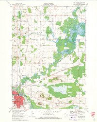
 1956 New London1958 Print · USGSWisconsin's Fox Valley region in the mid-fifties shows a landscape of river-town commerce and deep rural roots. Genealogists can trace family sites at Wanderers Rest Cem or locate the many country schools like Golden Hill Sch and Hickory Grove Sch.
 - 1969 Map of New London, 1971 Print
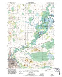
 1969 New London1971 Print · USGSNew London and the surrounding river valleys are captured here in the late sixties, showcasing a landscape defined by the convergence of rail and water. Researchers can locate family landmarks such as Wayside Cem, Emanuel Ch, and the old Washington Jr High Sch.
 - 1984 Map of Appleton, 1985 Print
 1984 Appleton1985 Print · USGSThe Fox River Valley in the mid-eighties shows a bustling corridor of industry and nature, from the shores of Lake Winnebago to the Oneida Indian Reservation. Trace local heritage through landmarks like Riverside Cem or explore the wetlands of Poygan Marsh State Wildlife Area.2 unique versions available
 - 1992 Map of New London, 1995 Print
 1992 New London1995 Print · USGSThe riverfront city of New London and the nearby settlement of Sugar Bush are captured here as they appeared in the early nineties. Genealogists and local historians can trace family-named sites like Ruckdashel Cem and landmarks such as Mosquito Hill.
 - 2010 Map of New London, 2010 Print
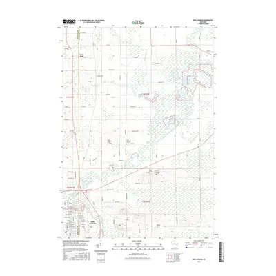
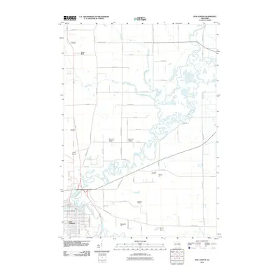 2010 New London2010 Print · USGSCovers East Ridge, including New London, Hortonia, and other nearby areas
 - 2013 Map of New London, 2013 Print
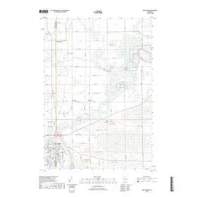
 2013 New London2013 Print · USGSCovers East Ridge, including New London, Hortonia, and other nearby areas
 - 2016 Map of New London, 2016 Print
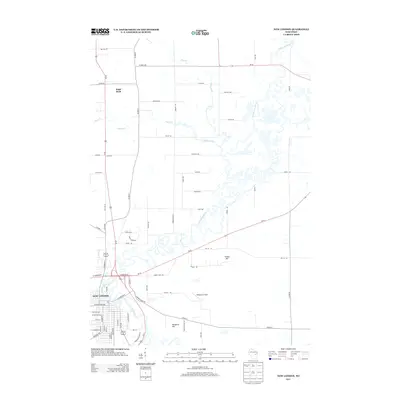
 2016 New London2016 Print · USGSCovers East Ridge, including New London, Hortonia, and other nearby areas
 - 2018 Map of New London, 2018 Print
 2018 New London2018 Print · USGSCovers East Ridge, including New London, Hortonia, and other nearby areas
 - 2022 Map of New London, 2022 Print
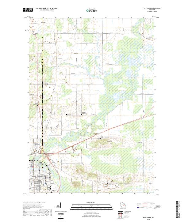 2022 New London2022 Print · USGSWisconsin's river-bottom lands and rural townships come into focus in this recent study of the area surrounding the New London city limits. Researchers can trace local lineage through numerous burial grounds like Emanuel Lutheran Cem and Ruckdashel Cem or survey the terrain near Mosquito Hill.
End of results
Showing maps 1-10 of 10
Frequently asked questions
- What are the different types of historical maps available for East Ridge?
- What is the oldest map of East Ridge?
- Where can I purchase historical maps of East Ridge for my home or office?
- Where can I download high-res historical maps of East Ridge?
- Are there historical topographic maps available for East Ridge?
- Is there historical aerial imagery available for East Ridge?
- Where are historical maps of East Ridge sourced from?