Old Maps of Settlement on the Oconto, Oconto Falls for Metal Detecting
Plan your next treasure hunt with 9 historic maps of Settlement on the Oconto. Find old homesites, ghost towns, trails, and gathering spots that may be lost to time — perfect for identifying promising metal detecting locations.
- Locate forgotten sites: Uncover places like long-lost settlements, abandoned rail lines, or gathering spots.
- Plan better hunts: Use map overlays combined with LiDAR or satellite views to narrow in on historically rich areas.
- Made for detectorists: Thousands of hobbyists use these maps to discover relics, coins, and hidden history.
Use these historic maps to boost your research and find new opportunities beneath the surface of Settlement on the Oconto.
Settlement on the Oconto, Oconto Falls maps
(9)- 1955 Map of Green Bay, 1968 Print
 1955 Green Bay1968 Print · USGSCentral and Eastern Wisconsin are captured here in the mid-fifties, showing the industrial growth of the Fox Valley and Wisconsin River corridors. Genealogists and historians can trace rail lines like the Green Bay and Western through settlements like Weyauwega, Clintonville, and Pulaski.2 unique versions available
 - 1956 Map of Oconto Falls, 1958 Print
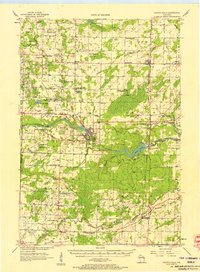 1956 Oconto Falls1958 Print · USGSOconto County in the mid-fifties is captured here as a landscape of rural school districts and river-based industry. Genealogists can locate family-named landmarks like Dombrowski Lake and Kuplie Lake, or trace rail history at Stiles Junction.3 unique versions available
 - 1974 Map of Oconto Falls North, 1977 Print
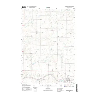
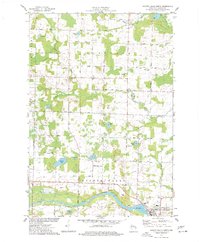 1974 Oconto Falls North1977 Print · USGSOconto County in the mid-1970s reveals a landscape of quiet dairy farms and emerging river towns before modern expansion. Genealogists can trace family footprints at Kelly Brook Cem, St Mark Ch, and along the tracks of the Chicago and North Western rail line.
 - 1984 Map of Shawano, 1985 Print
 1984 Shawano1985 Print · USGSNortheast Wisconsin in the mid-1980s was a landscape defined by its indigenous heritage and the bustling trade centers of the Fox and Wolf River valleys. Genealogists and historians can trace rail corridors like the Chicago and North Western or locate family sites near Keshena, Cecil, and the Fort Howard Cem.2 unique versions available
 - 2010 Map of Oconto Falls North, 2010 Print
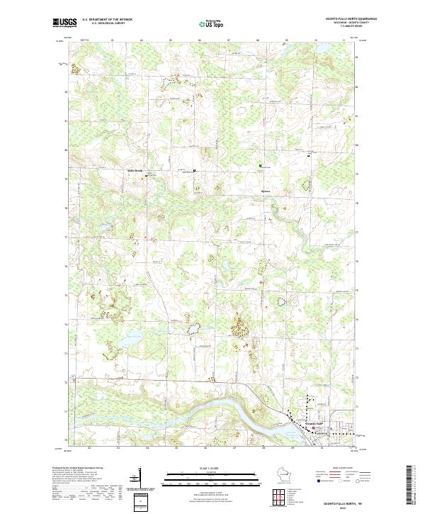
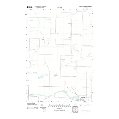 2010 Oconto Falls North2010 Print · USGSCovers Settlement on the Oconto, including Oconto Falls, Stiles, and other nearby areas
 - 2013 Map of Oconto Falls North, 2013 Print
 2013 Oconto Falls North2013 Print · USGSCovers Settlement on the Oconto, including Oconto Falls, Stiles, and other nearby areas
 - 2016 Map of Oconto Falls North, 2016 Print
 2016 Oconto Falls North2016 Print · USGSCovers Settlement on the Oconto, including Oconto Falls, Stiles, and other nearby areas
 - 2018 Map of Oconto Falls North, 2018 Print
 2018 Oconto Falls North2018 Print · USGSCovers Settlement on the Oconto, including Oconto Falls, Stiles, and other nearby areas
 - 2022 Map of Oconto Falls North, 2022 Print
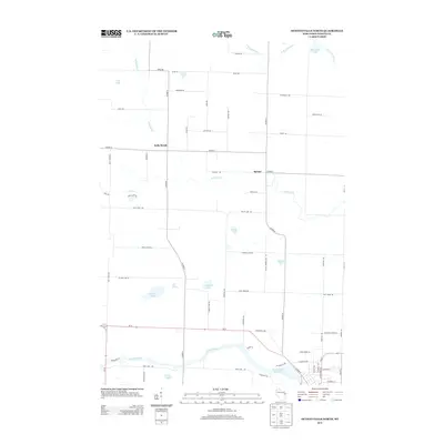
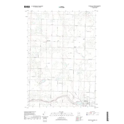
 2022 Oconto Falls North2022 Print · USGSIn the Oconto River valley during the early twenty-first century, this landscape shows a community defined by its water and woods. Genealogists can trace family lines through the Sacred Heart Cem or the settlement of Kelly Brook near Gray Lake.
End of results
Showing maps 1-9 of 9
Frequently asked questions
- What are the different types of historical maps available for Settlement on the Oconto?
- What is the oldest map of Settlement on the Oconto?
- Where can I purchase historical maps of Settlement on the Oconto for my home or office?
- Where can I download high-res historical maps of Settlement on the Oconto?
- Are there historical topographic maps available for Settlement on the Oconto?
- Is there historical aerial imagery available for Settlement on the Oconto?
- Where are historical maps of Settlement on the Oconto sourced from?