2000s (21st Century) Maps of Excelsior, Wisconsin
Explore 20 historic maps of Excelsior from the 2000s (21st Century). These maps offer a rare glimpse into what life looked like during the 2000s — showing old roads, neighborhoods, homes, and landmarks that have changed or disappeared over time.
Whether you're researching your family's past, planning a metal detecting trip, or studying how Excelsior's landscape evolved across the 2000s, these high-resolution maps are a powerful tool for exploring the history of this region.
- Focus on a specific era: All maps on this page are from the 2000s, giving you a focused view of this time period.
- See what’s changed: Compare century-old streets, trails, and buildings to today's modern landscape using overlays and satellite layers.
- Research with precision: Use these maps for genealogy, historical research, land use analysis, or educational projects.
- View, download, or print: Maps are fully viewable online in high resolution, and can be downloaded or printed for your own records.
Start exploring Excelsior's history through authentic maps from the 2000s. This is your window into the past.
Excelsior, WI maps
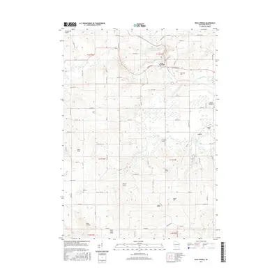
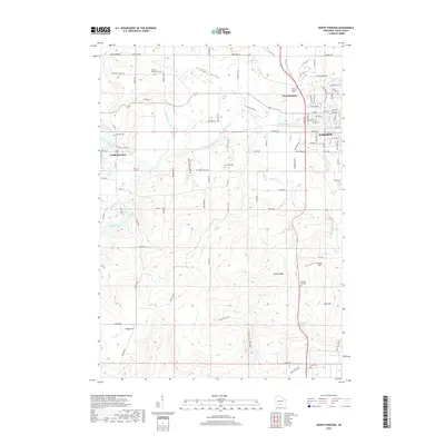
(20)- 2010 Map of North Freedom, 2010 Print
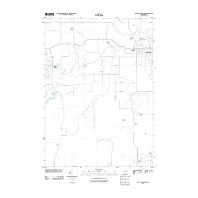 2010 North Freedom2010 Print · USGSCovers Excelsior, including Baraboo, West Baraboo, and other nearby areas
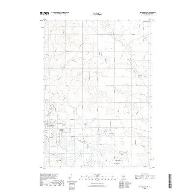
 - 2010 Map of Reedsburg East, 2010 Print
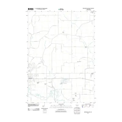 2010 Reedsburg East2010 Print · USGSCovers Excelsior, including Reedsburg, Winfield, and other nearby areas
 - 2010 Map of Rock Springs, 2010 Print
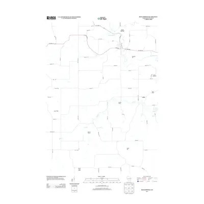
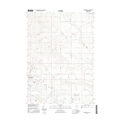
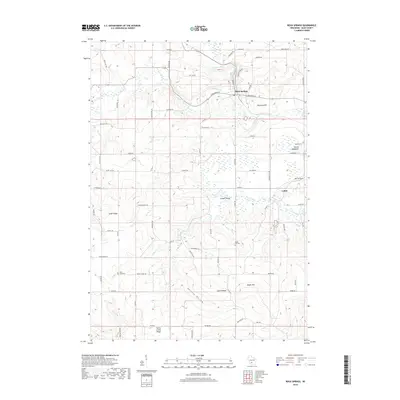
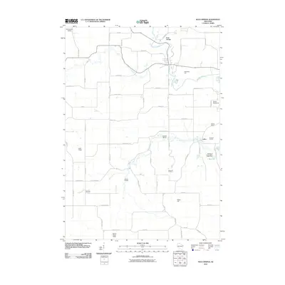 2010 Rock Springs2010 Print · USGSCovers Excelsior, including Rock Springs, Honey Creek, and other nearby areas
 - 2010 Map of Wisconsin Dells South, 2010 Print
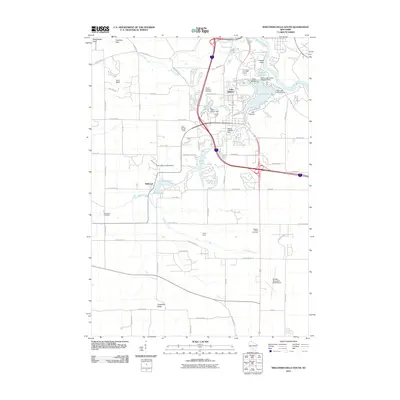 2010 Wisconsin Dells South2010 Print · USGSCovers Excelsior, including Lake Delton, Wisconsin Dells, and other nearby areas
 - 2013 Map of Rock Springs, 2013 Print
 2013 Rock Springs2013 Print · USGSCovers Excelsior, including Rock Springs, Honey Creek, and other nearby areas
 - 2013 Map of North Freedom, 2013 Print
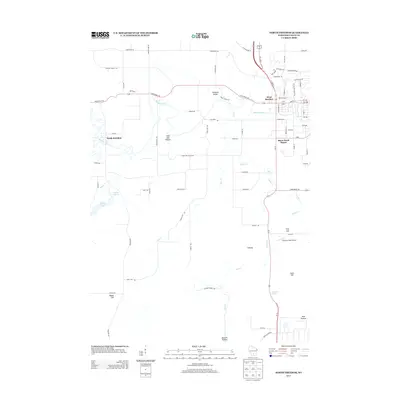 2013 North Freedom2013 Print · USGSCovers Excelsior, including Baraboo, West Baraboo, and other nearby areas
 - 2013 Map of Reedsburg East, 2013 Print
 2013 Reedsburg East2013 Print · USGSCovers Excelsior, including Reedsburg, Winfield, and other nearby areas
 - 2013 Map of Wisconsin Dells South, 2013 Print
 2013 Wisconsin Dells South2013 Print · USGSCovers Excelsior, including Lake Delton, Wisconsin Dells, and other nearby areas
 - 2016 Map of Reedsburg East, 2016 Print
 2016 Reedsburg East2016 Print · USGSCovers Excelsior, including Reedsburg, Winfield, and other nearby areas
 - 2016 Map of Wisconsin Dells South, 2016 Print
 2016 Wisconsin Dells South2016 Print · USGSCovers Excelsior, including Lake Delton, Wisconsin Dells, and other nearby areas
 - 2016 Map of Rock Springs, 2016 Print
 2016 Rock Springs2016 Print · USGSCovers Excelsior, including Rock Springs, Honey Creek, and other nearby areas
 - 2016 Map of North Freedom, 2016 Print
 2016 North Freedom2016 Print · USGSCovers Excelsior, including Baraboo, West Baraboo, and other nearby areas
 - 2018 Map of Rock Springs, 2018 Print
 2018 Rock Springs2018 Print · USGSCovers Excelsior, including Rock Springs, Honey Creek, and other nearby areas
 - 2018 Map of Wisconsin Dells South, 2018 Print
 2018 Wisconsin Dells South2018 Print · USGSCovers Excelsior, including Lake Delton, Wisconsin Dells, and other nearby areas
 - 2018 Map of North Freedom, 2018 Print
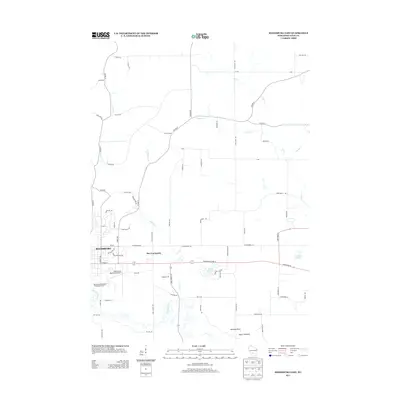
 2018 North Freedom2018 Print · USGSCovers Excelsior, including Baraboo, West Baraboo, and other nearby areas
 - 2018 Map of Reedsburg East, 2018 Print
 2018 Reedsburg East2018 Print · USGSCovers Excelsior, including Reedsburg, Winfield, and other nearby areas
 - 2022 Map of Rock Springs, 2022 Print
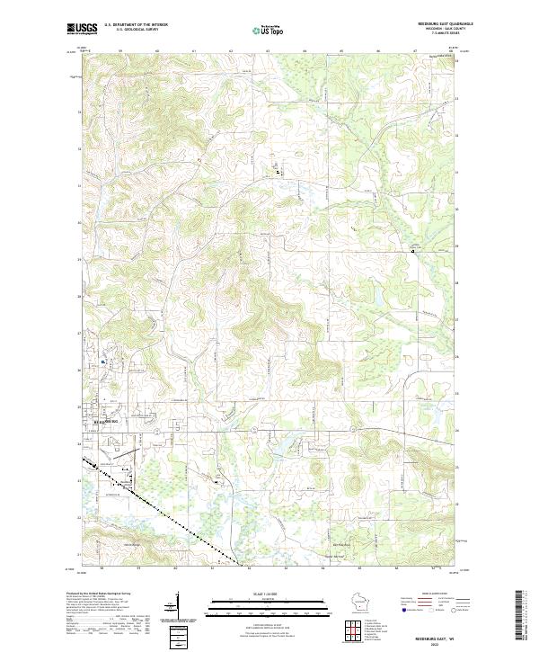
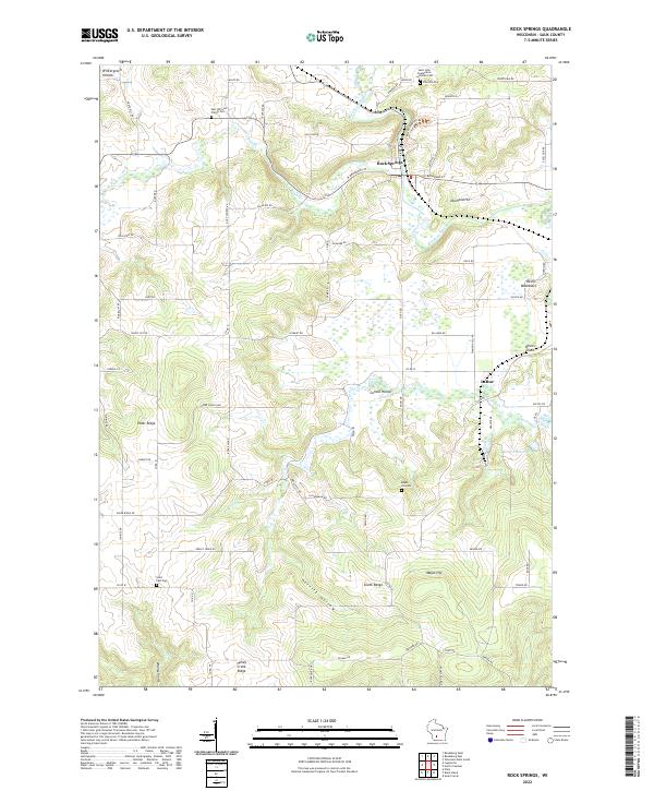 2022 Rock Springs2022 Print · USGSSauk County's river valleys and ridgelines are shown here in the 2020s, centered on the confluence of the Baraboo River and Narrows Cr. Genealogists and historians can locate family burial sites at Saint Paul Cem and Maple Hill Cem or explore the terrain around LaRue and Rock Springs.
 - 2022 Map of Reedsburg East, 2022 Print
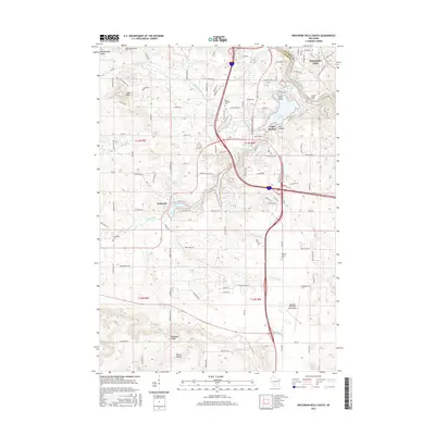
 2022 Reedsburg East2022 Print · USGSSauk County's eastern countryside comes alive in this survey, showcasing the area's development from the riverfront to the ridges. You can trace family plots at All Saints Cem or locate geological landmarks like Van Hise Rock and the Upper Narrows.
 - 2022 Map of North Freedom, 2022 Print
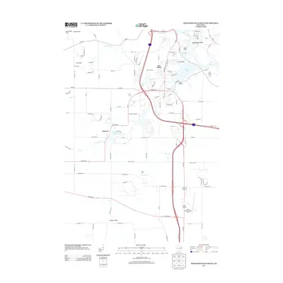
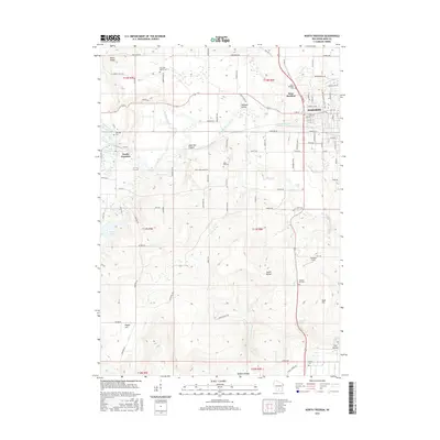
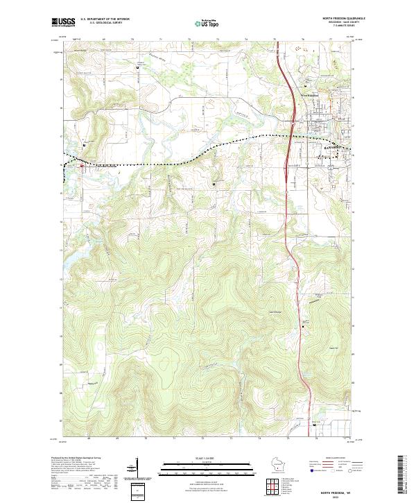 2022 North Freedom2022 Print · USGSSauk County's dramatic ridges and river valleys are captured here in the early 2020s, as the Ice Age continues to shape the local geography. Genealogists and hikers can trace the Ice Age National Scenic Trl past historic sites like Saint Michaels Cem and the waters of Skillet Falls.
 - 2022 Map of Wisconsin Dells South, 2022 Print
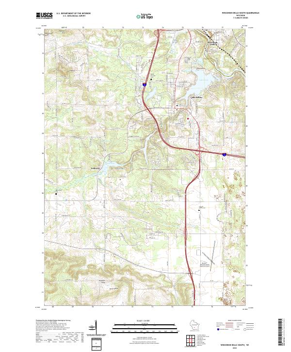 2022 Wisconsin Dells South2022 Print · USGSSauk County’s landscape near the Wisconsin River is documented here in its contemporary form. Trace the geography of local landmarks and burial sites like Mount Pleasant Cem, Lost Canyon, and the Baraboo-Wisconsin Dells Regional Airport.
End of results
Showing maps 1-20 of 20
Top cities near Excelsior
- Baraboo historical maps
- Reedsburg historical maps
- Prairie du Sac historical maps
- Lake Delton historical maps
- Wisconsin Dells historical maps
- Lemonweir historical maps
See more
Frequently asked questions
- What are the different types of historical maps available for Excelsior?
- What is the oldest map of Excelsior?
- Where can I purchase historical maps of Excelsior for my home or office?
- Where can I download high-res historical maps of Excelsior?
- Are there historical topographic maps available for Excelsior?
- Is there historical aerial imagery available for Excelsior?
- Where are historical maps of Excelsior sourced from?