Old Maps of Marlands, Lac du Flambeau for Metal Detecting
Plan your next treasure hunt with 14 historic maps of Marlands. Find old homesites, ghost towns, trails, and gathering spots that may be lost to time — perfect for identifying promising metal detecting locations.
- Locate forgotten sites: Uncover places like long-lost settlements, abandoned rail lines, or gathering spots.
- Plan better hunts: Use map overlays combined with LiDAR or satellite views to narrow in on historically rich areas.
- Made for detectorists: Thousands of hobbyists use these maps to discover relics, coins, and hidden history.
Use these historic maps to boost your research and find new opportunities beneath the surface of Marlands.
Marlands, Lac du Flambeau maps
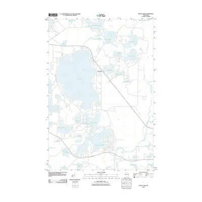
(14)- 1938 Map of Lac Du Flambeau, 1959 Print
 1938 Lac Du Flambeau1959 Print · USGSThe Wisconsin lake district appears in detail during the late 1930s, showing the early infrastructure of the northern woods. Researchers can trace the Chicago and Northwestern rail line and locate community landmarks like Marlands Sch and the Flambeau Fire Tower.2 unique versions available
 - 1939 Map of Lac Du Flambeau
 1939 Lac Du Flambeau1939 Print · USGSWisconsin's lake country is captured here in the late thirties, documenting a landscape defined by the intersection of tribal lands and national forests. Genealogists and historians can trace the early rail stops and rural schoolhouses like Marlands Sch, Hasener, and the Lac du Flambeau Sta.
 - 1946 Map of Lac Du Flambeau
 1946 Lac Du Flambeau1946 Print · USGSOneida and Vilas counties are seen here in the mid-1940s, a time when the lake country was defined by timber management and rail access. Genealogists can locate the Marlands Sch and Lac du Flambeau Sta along the Chicago and Northwestern line.
 - 1950 Map of Lac Du Flambeau
 1950 Lac Du Flambeau1950 Print · USGSThe northern lake country of Vilas and Oneida Counties is captured here at mid-century, centered on the Lac du Flambeau reservation. Researchers can trace the old Chicago and Northwestern rail line and locate landmarks like the Marlands Sch or the Flambeau Fire Tower.
 - 1951 Map of Lac Du Flambeau
 1951 Lac Du Flambeau1951 Print · USGSNorthern Wisconsin's lake country is captured here during the mid-century, showing the established communities of the Flambeau area. Genealogists and local historians can trace the Chicago and Northwestern rail line and find sites like Marlands Sch or the Flambeau Fire Tower.
 - 1954 Map of Iron Mountain, 1964 Print
 1954 Iron Mountain1964 Print · USGSUpper Michigan and Northeastern Wisconsin are shown in detail during the mid-fifties, when the logging and mining economies still moved by rail. Trace the rail lines of the Soo Line to remote stops like Koepenick Station or explore the Iron Range near Iron Mountain.2 unique versions available
 - 1959 Map of Iron Mountain
 1959 Iron Mountain1959 Print · USGSThe northwoods of Wisconsin and the Michigan border are captured here in the mid-fifties, showing a landscape defined by timber, water, and rail. Researchers can trace historic junctions like Hiles Junction, the expansive Nicolet National Forest, and lakefront settlements from Rhinelander to Tomahawk.2 unique versions available
 - 1971 Map of Fence Lake, 1973 Print
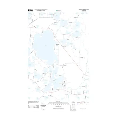
 1971 Fence Lake1973 Print · USGSThe Vilas County lake country is captured here in the early 1970s, during a time of significant recreational growth within the Lac du Flambeau Indian Reservation. Researchers can trace the Chicago and North Western rail line past Marlands or locate landmarks like the Flambeau Lookout Tower.
 - 1989 Map of Rhinelander, 1990 Print
 1989 Rhinelander1990 Print · USGSThe Wisconsin Northwoods are captured here in the late eighties, showing a landscape defined by water and timber management. Researchers can trace the Soo Line rail corridors and find local landmarks like Rainbow Flowage, Pelican Lake, and the Rhinelander-Oneida Co Airport.
 - 2010 Map of Fence Lake, 2010 Print
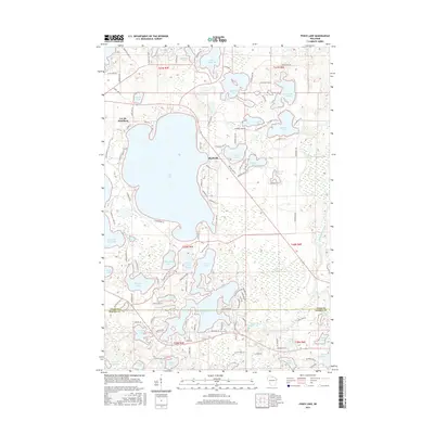
 2010 Fence Lake2010 Print · USGSCovers Marlands, including Minocqua, Lac du Flambeau, and other nearby areas
 - 2013 Map of Fence Lake, 2013 Print
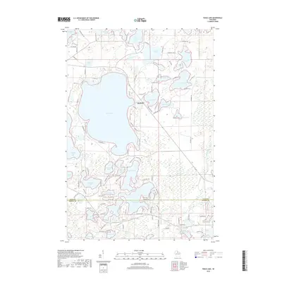
 2013 Fence Lake2013 Print · USGSCovers Marlands, including Minocqua, Lac du Flambeau, and other nearby areas
 - 2015 Map of Fence Lake, 2015 Print
 2015 Fence Lake2015 Print · USGSCovers Marlands, including Minocqua, Lac du Flambeau, and other nearby areas
 - 2018 Map of Fence Lake, 2018 Print
 2018 Fence Lake2018 Print · USGSCovers Marlands, including Minocqua, Lac du Flambeau, and other nearby areas
 - 2022 Map of Fence Lake, 2022 Print
 2022 Fence Lake2022 Print · USGSNorthern Wisconsin's lake country is captured here in the early twenty-first century, showing the intricate shorelines and dense road networks around Fence Lake. Researchers can trace local development through named settlements like Marlands and points such as Thoroughfare Point.
End of results
Showing maps 1-14 of 14
Top cities near Marlands
- Minocqua historical maps
- Lac du Flambeau historical maps
- Mercer historical maps
- Hazelhurst historical maps
- Lake Tomahawk historical maps
- Boulder Junction historical maps
See more
Frequently asked questions
- What are the different types of historical maps available for Marlands?
- What is the oldest map of Marlands?
- Where can I purchase historical maps of Marlands for my home or office?
- Where can I download high-res historical maps of Marlands?
- Are there historical topographic maps available for Marlands?
- Is there historical aerial imagery available for Marlands?
- Where are historical maps of Marlands sourced from?