2020s Maps of Coloma, Wisconsin
Explore 4 historic maps of Coloma from the 2020s. These maps offer a rare glimpse into what life looked like during the 2020s — showing old roads, neighborhoods, homes, and landmarks that have changed or disappeared over time.
Whether you're researching your family's past, planning a metal detecting trip, or studying how Coloma's landscape evolved across the 2020s, these high-resolution maps are a powerful tool for exploring the history of this region.
- Focus on a specific era: All maps on this page are from the 2020s, giving you a focused view of this time period.
- See what’s changed: Compare century-old streets, trails, and buildings to today's modern landscape using overlays and satellite layers.
- Research with precision: Use these maps for genealogy, historical research, land use analysis, or educational projects.
- View, download, or print: Maps are fully viewable online in high resolution, and can be downloaded or printed for your own records.
Start exploring Coloma's history through authentic maps from the 2020s. This is your window into the past.
Coloma, WI maps
(4)- 2022 Map of Richford, 2022 Print
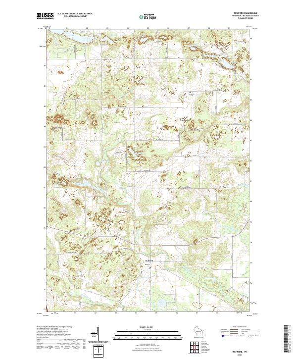 2022 Richford2022 Print · USGSGlacial topography and spring-fed waters define this Waushara County landscape in the early twenty-first century. Researchers can trace the winding Ice Age National Scenic Trl as it passes Mecan Springs and the rural cemetery at Richford Cem.
 - 2022 Map of Westfield West, 2022 Print
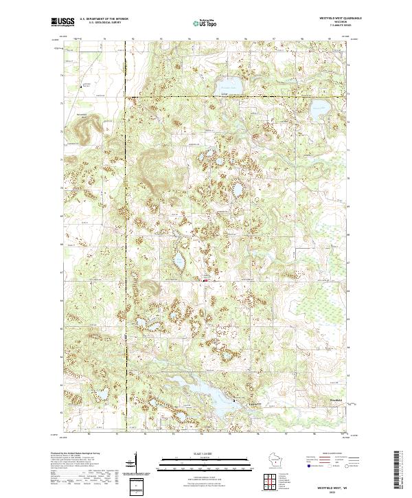 2022 Westfield West2022 Print · USGSThe intersection of Marquette, Adams, and Waushara counties comes into focus in this recent survey of central Wisconsin lake country. Genealogists and local historians can trace family locations near South Burr Oak Cem, Westfield, and the waters of Pleasant Lake.
 - 2022 Map of Coloma, 2022 Print
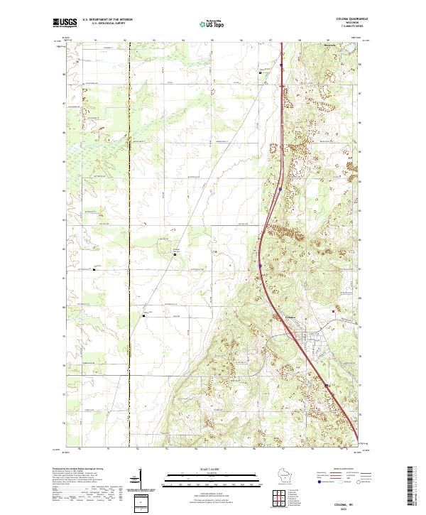 2022 Coloma2022 Print · USGSCentral Wisconsin farmland and crossroads are captured here in the early twenty-first century as the village of Coloma expanded. Family historians can trace local roots through landmarks like Hancock Cem, Fish Cem, and Pleasant Hill Cem.
 - 2022 Map of Westfield East, 2022 Print
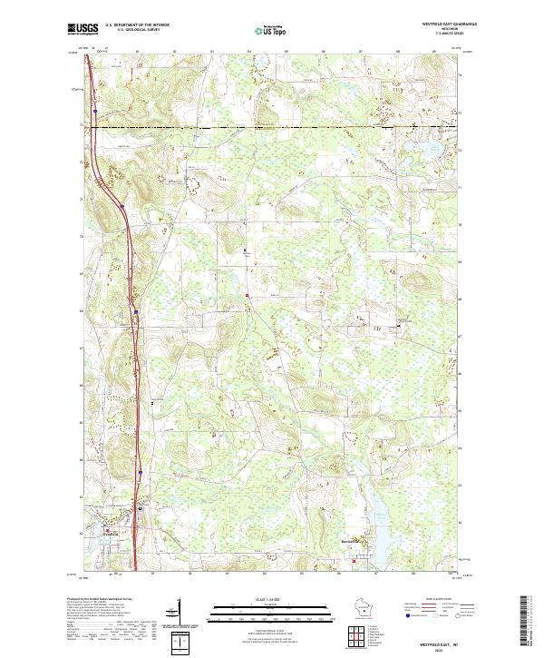 2022 Westfield East2022 Print · USGSMarquette County in the early 2020s shows a landscape defined by glacial waters and rural heritage. Genealogists and local historians can locate several family and church burial sites including Newton Cemetery, Krentz Cemetery, and East Cemetery.
End of results
Showing maps 1-4 of 4
Top cities near Coloma
- Montello historical maps
- Packwaukee historical maps
- Easton historical maps
- Big Flats historical maps
- Plainfield historical maps
- Coloma historical maps
See more
Frequently asked questions
- What are the different types of historical maps available for Coloma?
- What is the oldest map of Coloma?
- Where can I purchase historical maps of Coloma for my home or office?
- Where can I download high-res historical maps of Coloma?
- Are there historical topographic maps available for Coloma?
- Is there historical aerial imagery available for Coloma?
- Where are historical maps of Coloma sourced from?