Old Maps of Fort Laramie, Wyoming for Academic Research
Study the evolution of Fort Laramie with 12 high-resolution historic maps. Whether you're teaching, researching, or modeling changes in land use, these maps provide essential visual documentation of urban, environmental, and geographic change.
- Analyze long-term change: Track patterns in development, transportation, and natural features.
- Ideal for environmental or urban studies: Support academic projects with primary historical map data.
- Use in the classroom or lab: Educators and researchers rely on these maps to bring historical context to life.
These maps are a powerful tool for teaching, research, and visualizing how Fort Laramie has changed over the decades.
Fort Laramie, WY maps
(12)- 1896 Map of Hartville
 1896 Hartville1896 Print · USGSSoutheast Wyoming in the late nineteenth century was a territory of vital river crossings and early industry. Researchers can trace the junction of the Laramie River and North Platte River near Fort Laramie and locate early rail hubs at Wheatland and Wendover.
 - 1901 Map of Hartville
 1901 Hartville1901 Print · USGSEastern Wyoming at the turn of the century reveals a landscape defined by the arrival of the rails and the legacy of the frontier. Genealogists can trace family ranching sites like Dotys Ranch or early towns such as Hartville and Fort Laramie.2 unique versions available
 - 1950 Map of Fort Laramie, 1963 Print
 1950 Fort Laramie1963 Print · USGSFort Laramie and its surrounding river valley are captured here at mid-century as the historic military site transitioned into a national monument. Genealogists and historians can trace the intersection of the Chicago Burlington and Quincy railroad with the Fort Laramie Canal and the local Cem.3 unique versions available
 - 1952 Map of Fort Laramie
 1952 Fort Laramie1952 Print · USGSGoshen County during the early 1950s reveals a frontier landscape transitioning into a modern agricultural and rail hub. Genealogists and historians can trace the foundations of the Fort Laramie National Monument alongside the Chicago Burlington and Quincy railroad and a local Cem.
 - 1954 Map of Torrington, 1963 Print
 1954 Torrington1963 Print · USGSEastern Wyoming and the Nebraska borderlands are captured here during the mid-fifties, showing a landscape shaped by the Platte River and the Laramie Range. Researchers can trace deep history at the Fort Laramie National Historical Site, the Old Doty Ranch Site, and along the Old Fetterman Road.4 unique versions available
 - 1958 Map of Torrington
 1958 Torrington1958 Print · USGSEastern Wyoming and the Nebraska borderlands are captured in the late fifties, showcasing a landscape of high plains ranching and river-fed industry. Trace the historic paths of the Union Pacific railroad and find legacy sites like Fort Laramie and Sunrise.
 - 1978 Map of Torrington
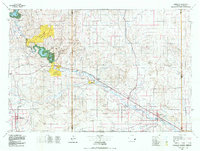 1978 Torrington1978 Print · USGSSoutheast Wyoming in the late seventies reveals a landscape shaped by the North Platte River and a dense network of major rail lines. Researchers can locate the Fort Laramie National Historic Site, the Camp Guernsey Training Area, and original stops along the Union Pacific railroad.2 unique versions available
 - 1990 Map of Fort Laramie, 1995 Print
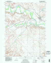 1990 Fort Laramie1995 Print · USGSThe confluence of the North Platte and Laramie Rivers is captured here in the 1990s, centered on the Fort Laramie National Historic Site. Researchers can trace the modern town of Fort Laramie and its local Cem alongside irrigation landmarks like Gross Reservoir.
 - 2012 Map of Fort Laramie, 2012 Print
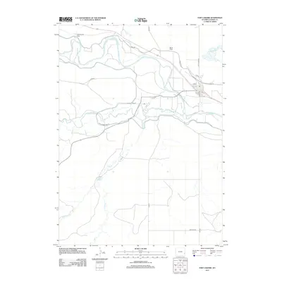 2012 Fort Laramie2012 Print · USGSGoshen County's high plains come into focus in this modern survey of the river valleys near the historic fort site. Researchers can trace the path of the N Platte River and Laramie River, or locate the small settlement of RYMILL and the Sandercock Reservoir.
 - 2015 Map of Fort Laramie, 2015 Print
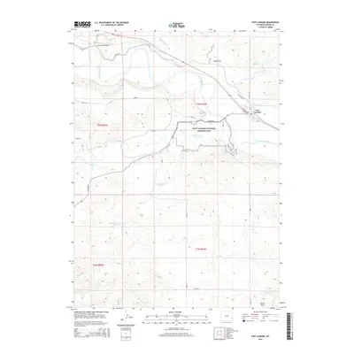 2015 Fort Laramie2015 Print · USGSFort Laramie and the surrounding Wyoming high plains are captured here in the early twenty-first century. Researchers can trace the grounds of the Fort Laramie National Historic Site and rural landmarks like Gross Reservoir and the Laramie River.
 - 2018 Map of Fort Laramie, 2018 Print
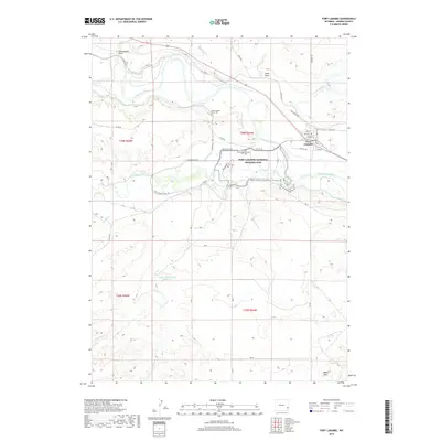 2018 Fort Laramie2018 Print · USGSGoshen County in the late twenty-teens is centered on the historic confluence of the North Platte River and the Laramie River. Researchers can trace the layout of the Fort Laramie National Historic Site and locate the Mary Homsley Burial Site.
 - 2021 Map of Fort Laramie, 2021 Print
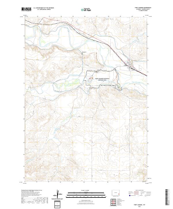 2021 Fort Laramie2021 Print · USGSThe confluence of the Platte and Laramie rivers in Goshen County is captured here in the modern era, centered on the Fort Laramie National Historic Site. Researchers can locate specific pioneer landmarks like the Mary Homsley Burial Site and Fort Laramie Cem alongside the town's original street grid.
End of results
Showing maps 1-12 of 12
Top cities near Fort Laramie
Frequently asked questions
- What are the different types of historical maps available for Fort Laramie?
- What is the oldest map of Fort Laramie?
- Where can I purchase historical maps of Fort Laramie for my home or office?
- Where can I download high-res historical maps of Fort Laramie?
- Are there historical topographic maps available for Fort Laramie?
- Is there historical aerial imagery available for Fort Laramie?
- Where are historical maps of Fort Laramie sourced from?