Old Maps of Hawk Springs, Wyoming for Hiking & Exploration
Hike through history with 9 historic maps of Hawk Springs. Explore old trails, ghost towns, and forgotten backroads — perfect for outdoor adventurers and local explorers.
- Rediscover forgotten places: Map out old mining camps, roads, and footpaths that no longer exist on modern maps.
- Layer with modern tools: Combine with LiDAR or satellite views to plan hikes through historical terrain.
- Made for exploration: Popular among hikers, overlanders, and local history lovers.
Use these maps to find adventure and explore the hidden past of Hawk Springs.
Hawk Springs, WY maps
(9)- 1899 Map of Goshen Hole
 1899 Goshen Hole1899 Print · USGSThe High Plains of the Wyoming-Nebraska borderlands come into focus at the close of the nineteenth century. Researchers can trace the early cattle ranching economy through named homesteads like Greasewood Ranch and Robb's Ranch, and locate landmarks such as Ninemile Rock.4 unique versions available
 - 1954 Map of Cheyenne, 1963 Print
 1954 Cheyenne1963 Print · USGSSoutheastern Wyoming's high plains and the capital city's mid-century expansion are documented here during the early Cold War. Genealogists and historians can trace rail-aligned settlements like Pine Bluffs and Hillsdale, or explore landmarks like the Ames Monument and Francis E. Warren Air Force Base.3 unique versions available
 - 1958 Map of Cheyenne
 1958 Cheyenne1958 Print · USGSSoutheast Wyoming and the Nebraska border appear in the late 1950s as a hub of military defense and rail commerce. Genealogists can trace the Union Pacific through Cheyenne or locate the Horse Creek Oil Field and the State Capitol.2 unique versions available
 - 1960 Map of Hawk Springs, 1962 Print
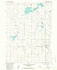 1960 Hawk Springs1962 Print · USGSGoshen County, Wyoming, is defined by its mid-century irrigation network and rail connectivity in this 1960s study. Researchers can trace the Union Pacific line through Hawk Springs and locate early water landmarks like Bump-Sullivan Reservoir and Sinnard Reservoir.2 unique versions available
 - 1990 Map of Hawk Springs, 1995 Print
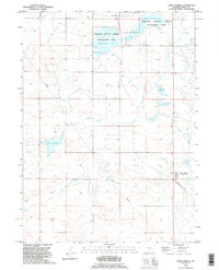 1990 Hawk Springs1995 Print · USGSGoshen County's high plains irrigation network is fully visible in the 1990s, centered on the community of Hawk Springs. Trace the path of the Hawk Springs Ditch and find landmarks like Fonda and the Sinnard Reservoir.
 - 2012 Map of Hawk Springs, 2012 Print
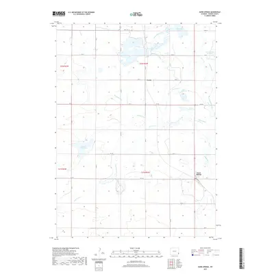
 2012 Hawk Springs2012 Print · USGSCovers Hawk Springs, including Fonda, Goshen County, and other nearby areas
 - 2015 Map of Hawk Springs, 2015 Print
 2015 Hawk Springs2015 Print · USGSCovers Hawk Springs, including Fonda, Goshen County, and other nearby areas
 - 2017 Map of Hawk Springs, 2017 Print
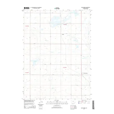
 2017 Hawk Springs2017 Print · USGSCovers Hawk Springs, including Fonda, Goshen County, and other nearby areas
 - 2021 Map of Hawk Springs, 2021 Print
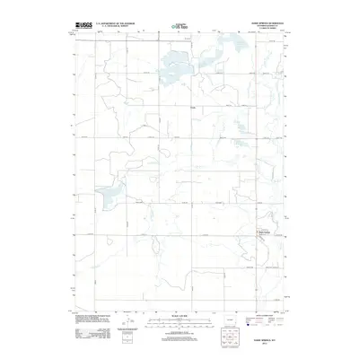
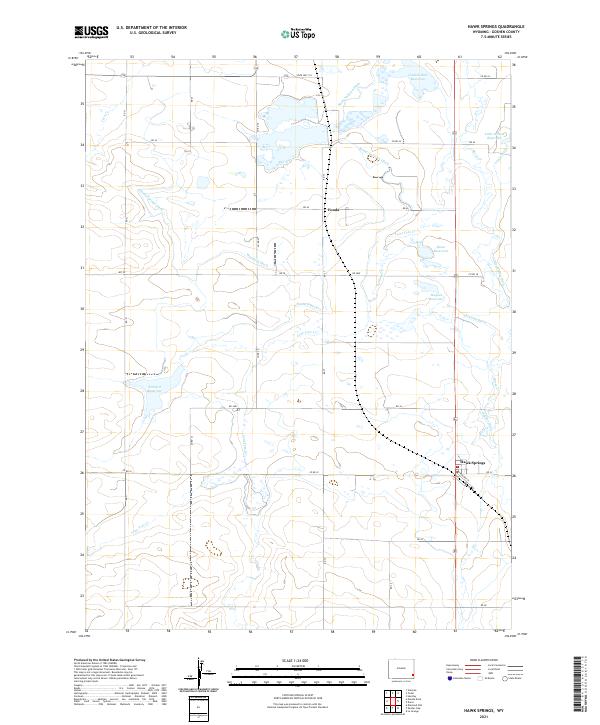 2021 Hawk Springs2021 Print · USGSThe Goshen County high plains are documented here in the early twenty-first century, showing a landscape defined by ranching and irrigation. Researchers can trace water rights and local landmarks like Goshen Hole Reservoir, the settlement of Fonda, and Sinnard Ditch.
End of results
Showing maps 1-9 of 9
Top cities near Hawk Springs
Frequently asked questions
- What are the different types of historical maps available for Hawk Springs?
- What is the oldest map of Hawk Springs?
- Where can I purchase historical maps of Hawk Springs for my home or office?
- Where can I download high-res historical maps of Hawk Springs?
- Are there historical topographic maps available for Hawk Springs?
- Is there historical aerial imagery available for Hawk Springs?
- Where are historical maps of Hawk Springs sourced from?