Old Maps of Linstead Place, Wyoming for Hiking & Exploration
Hike through history with 8 historic maps of Linstead Place. Explore old trails, ghost towns, and forgotten backroads — perfect for outdoor adventurers and local explorers.
- Rediscover forgotten places: Map out old mining camps, roads, and footpaths that no longer exist on modern maps.
- Layer with modern tools: Combine with LiDAR or satellite views to plan hikes through historical terrain.
- Made for exploration: Popular among hikers, overlanders, and local history lovers.
Use these maps to find adventure and explore the hidden past of Linstead Place.
Linstead Place, WY maps
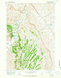
(8)- 1955 Map of Arminto, 1976 Print
 1955 Arminto1976 Print · USGSCentral Wyoming at the mid-century shows a landscape of energy reserves and high-plains ranching. Genealogists and historians can trace the Burlington Northern line through Lost Cabin and the famed Teapot Dome Naval Petroleum Reserve No 3.2 unique versions available
 - 1958 Map of Arminto
 1958 Arminto1958 Print · USGSCentral Wyoming in the late fifties was a landscape of high-plains energy and remote rail outposts. Researchers can trace the Chicago Burlington and Quincy railroad through towns like Arminto and Waltman or locate landmarks like Teapot Rock.
 - 1961 Map of Wall Creek, 1965 Print
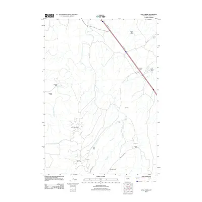
 1961 Wall Creek1965 Print · USGSJohnson County ranching and oil production are captured here in the early sixties as the landscape was being reshaped by energy extraction. Researchers can trace historic family holdings like the Snyder Ranch and Butts Ranch alongside the vast infrastructure of the North Tisdale Oil Field.2 unique versions available
 - 1962 Map of Arminto
 1962 Arminto1962 Print · USGSCentral Wyoming in the early sixties reveals a landscape shaped by the Chicago and North Western railroad and early energy development. Trace the history of the region through remote outposts like Arminto, the US Naval Petroleum Reserve, and the geologic landmark at Hells Half Acre.
 - 2012 Map of Wall Creek, 2012 Print
 2012 Wall Creek2012 Print · USGSCovers Linstead Place, including Johnson County, United States, and other nearby areas
 - 2015 Map of Wall Creek, 2015 Print
 2015 Wall Creek2015 Print · USGSCovers Linstead Place, including Johnson County, United States, and other nearby areas
 - 2017 Map of Wall Creek, 2017 Print
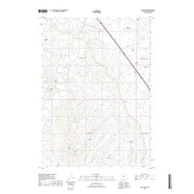 2017 Wall Creek2017 Print · USGSCovers Linstead Place, including Johnson County, United States, and other nearby areas
 - 2021 Map of Wall Creek, 2021 Print
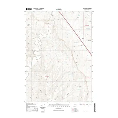
 2021 Wall Creek2021 Print · USGSJohnson County ranching and geology are on display in this modern survey of the Powder River country. Researchers can trace the drainages of Wall Cr and find landmarks like Frewens Castle, The Wall, and Linstead Flats.
End of results
Showing maps 1-8 of 8
Top cities near Linstead Place
Frequently asked questions
- What are the different types of historical maps available for Linstead Place?
- What is the oldest map of Linstead Place?
- Where can I purchase historical maps of Linstead Place for my home or office?
- Where can I download high-res historical maps of Linstead Place?
- Are there historical topographic maps available for Linstead Place?
- Is there historical aerial imagery available for Linstead Place?
- Where are historical maps of Linstead Place sourced from?