Old Maps of Tremain, Wyoming for Genealogy
Trace your family roots with 9 historic maps of Tremain. These high-res maps reveal old neighborhoods, homesites, landmarks, and streets — helping you uncover where your ancestors lived and how the area evolved over time.
- Explore historic neighborhoods: Identify where your relatives may have lived in the 1800s or 1900s.
- Compare maps over time: Trace the changes in streets, buildings, and landmarks for multi-generational research.
- Perfect for genealogy & ancestry research: Used by family historians and researchers to map out lineage and migration.
These maps are an incredible resource for exploring your personal connection to Tremain's past.
Tremain, WY maps
(9)- 1899 Map of Goshen Hole
 1899 Goshen Hole1899 Print · USGSThe High Plains of the Wyoming-Nebraska borderlands come into focus at the close of the nineteenth century. Researchers can trace the early cattle ranching economy through named homesteads like Greasewood Ranch and Robb's Ranch, and locate landmarks such as Ninemile Rock.4 unique versions available
 - 1954 Map of Cheyenne, 1963 Print
 1954 Cheyenne1963 Print · USGSSoutheastern Wyoming's high plains and the capital city's mid-century expansion are documented here during the early Cold War. Genealogists and historians can trace rail-aligned settlements like Pine Bluffs and Hillsdale, or explore landmarks like the Ames Monument and Francis E. Warren Air Force Base.3 unique versions available
 - 1958 Map of Cheyenne
 1958 Cheyenne1958 Print · USGSSoutheast Wyoming and the Nebraska border appear in the late 1950s as a hub of military defense and rail commerce. Genealogists can trace the Union Pacific through Cheyenne or locate the Horse Creek Oil Field and the State Capitol.2 unique versions available
 - 1960 Map of Tremain
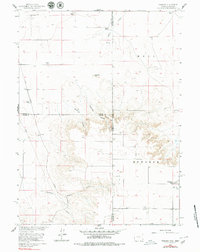 1960 Tremain1960 Print · USGSThe high plains of the Wyoming-Nebraska border come into focus in 1960, showing a landscape defined by cattle ranching and rail infrastructure. Researchers can trace historic family-named homesteads like Bull Canyon Ranch and Spahr Ranch alongside the Epworth Cem.3 unique versions available
 - 1990 Map of Tremain, 1995 Print
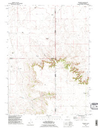 1990 Tremain1995 Print · USGSThe Wyoming and Nebraska borderlands are captured here in the 1990s as a landscape of isolated family ranches and deep canyons. Researchers can locate long-standing sites like Tremain Ranch, the Epworth Cem, and the prominent Ninemile Rock.
 - 2012 Map of Tremain, 2012 Print
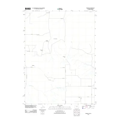 2012 Tremain2012 Print · USGSCovers Tremain, including Laramie County, Goshen County, and other nearby areas
 - 2015 Map of Tremain, 2015 Print
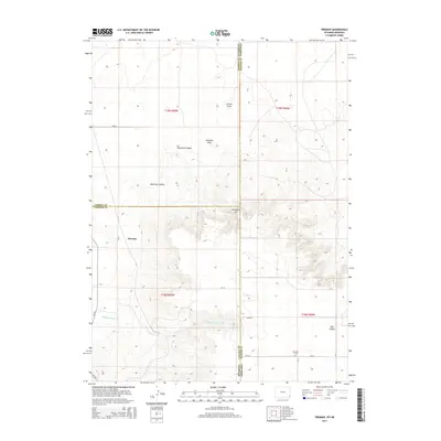 2015 Tremain2015 Print · USGSCovers Tremain, including Laramie County, Goshen County, and other nearby areas
 - 2018 Map of Tremain, 2018 Print
 2018 Tremain2018 Print · USGSCovers Tremain, including Laramie County, Goshen County, and other nearby areas
 - 2021 Map of Tremain, 2021 Print
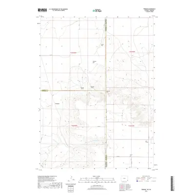
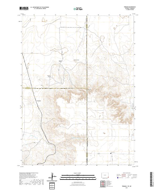 2021 Tremain2021 Print · USGSHigh plains ranching country at the Wyoming-Nebraska border comes into focus in this recent survey. Genealogists and local historians can locate Epworth Cemetery and trace the drainage of Stinking Water Creek near Tremain.
End of results
Showing maps 1-9 of 9
Top cities near Tremain
Frequently asked questions
- What are the different types of historical maps available for Tremain?
- What is the oldest map of Tremain?
- Where can I purchase historical maps of Tremain for my home or office?
- Where can I download high-res historical maps of Tremain?
- Are there historical topographic maps available for Tremain?
- Is there historical aerial imagery available for Tremain?
- Where are historical maps of Tremain sourced from?