Loading...
Loading map...2023 Map of Acme
USGS Topo · Published 2023About this map
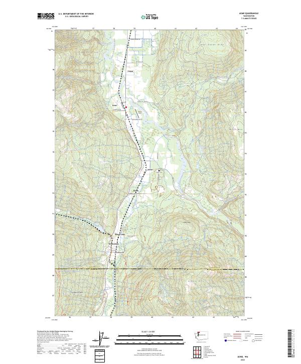
Acme sits at the heart of the South Fork Nooksack River valley, serving as a focal point for the small settlements of Comar, Saxon, and Doran. This landscape is defined by the transition from the river basin to the rising elevations of Van Zandt Dike and Blue Mtn. The river's meandering course is accompanied by several still water bodies, including Mosquito Lake and Lonesome Pond, while the southern reaches of the map track the headwaters of the Samish River near Wickersham.
Find a feature on this map
56 named features on this map. Tap any name to fly to it.
Don’t see what you’re looking for? This feature index may not catch every label — zoom into the map to look around manually.
Map Details
Date Portrayed2023
Date Published2023
PublisherU.S. Geological Survey
Map TypeTopographic
Scale1:24000
Physical Dimensions24 x 29 inches
Editions of this 2023 Acme Map
This is the sole edition of this map. No revisions or reprints were ever made.
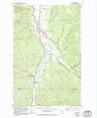
Historical Maps of Acme Through Time
Featured Locations
Source Details
SourceU.S. Geological Survey
CopyrightPublic Domain