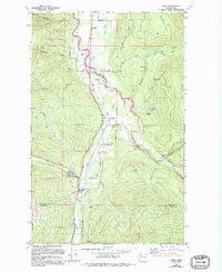
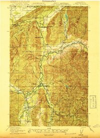
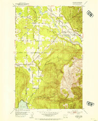
1980 Map of Acme
USGS Topo · Published 1994About this map
The South Fork Nooksack River valley defines this landscape in the 1980s, where the small community of Acme sits as a central hub near the confluence of Jones Creek and McCarty Creek. The settlement pattern reflects a history tied to the valley floor, with the railroad running parallel to the river and connecting key points like Wickersham, Ennis, and Doran. Infrastructure including a Landing Strip near Acme and an extensive Aqueduct system highlights the specialized utility of the corridor during this era.
Find a feature on this map
46 named features on this map. Tap any name to fly to it.
Don’t see what you’re looking for? This feature index may not catch every label — zoom into the map to look around manually.
Map Details
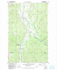
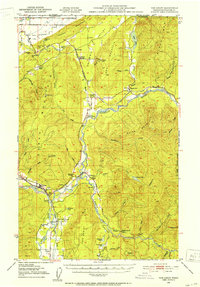
Editions of this 1980 Acme Map
2 editions found
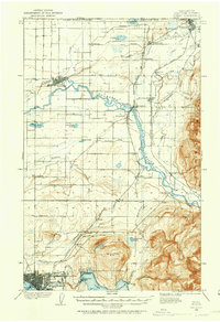
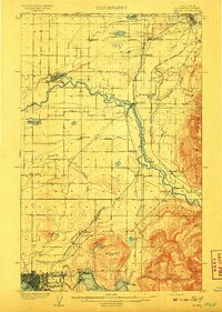
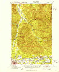
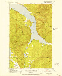
Other maps of this area
1906 · Sumas
USGS Topo · 1:62,500
1908 · Sumas
USGS Topo · 1:62,500

1918 · Samish Lake
USGS Topo · 1:62,500
1919 · Van Zandt
USGS Topo · 1:62,500

1921 · Wickersham
USGS Topo · 1:62,500
1951 · Wickersham
USGS Topo · 1:62,500
1951 · Van Zandt
USGS Topo · 1:62,500
1952 · Lake Whatcom
USGS Topo · 1:24,000
1952 · Lawrence
USGS Topo · 1:24,000
1952 · Alger
USGS Topo · 1:24,000