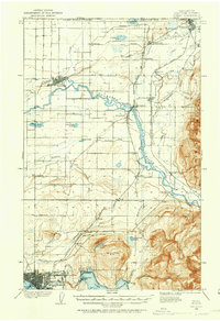
1906 Map of Sumas
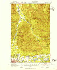
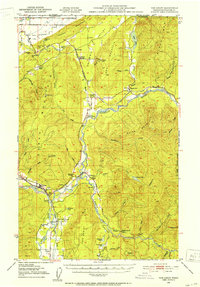
USGS Topo · Published 1958About this map
The United States Canada Boundary Line defines the northern edge of this landscape, where the international border cuts through a dense network of early settlements and agricultural infrastructure. In the northwest, Lynden serves as a hub near the winding Nooksack River, while the northeastern corner centers on the border town of Sumas. The map reveals an era dominated by rail and timber, evidenced by the presence of a Tramway near Northwood and the Chicago Milwaukee St Paul and Pacific RR traversing the valley.
Find a feature on this map
52 named features on this map. Tap any name to fly to it.
Don’t see what you’re looking for? This feature index may not catch every label — zoom into the map to look around manually.
Map Details
Editions of this 1906 Sumas Map
This is the sole edition of this map. No revisions or reprints were ever made.
Other maps of this area
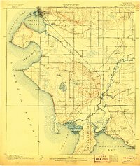
1907 · Blaine
USGS Topo · 1:62,500
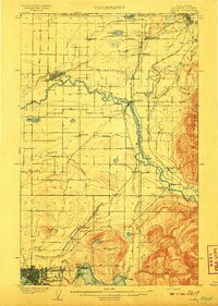
1908 · Sumas
USGS Topo · 1:62,500

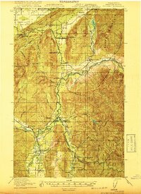
1918 · Samish Lake
USGS Topo · 1:62,500
1919 · Van Zandt
USGS Topo · 1:62,500

1921 · Wickersham
USGS Topo · 1:62,500

1943 · Anacortes
USGS Topo · 1:62,500
1951 · Wickersham
USGS Topo · 1:62,500

1951 · Anacortes
USGS Topo · 1:62,500
1951 · Van Zandt
USGS Topo · 1:62,500
1952 · Lake Whatcom
USGS Topo · 1:24,000