
1952 Map of Lake Whatcom
USGS Topo · Published 1953About this map
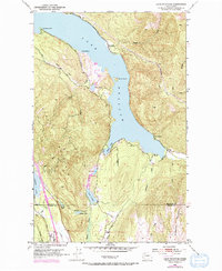
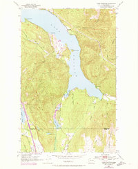
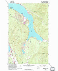
Lake Whatcom dominates this 1952 topographic study, its southern waters reaching deep into the timbered slopes of Lookout Mountain and Anderson Mountain. The map records a landscape of small lakeside settlements and mountain infrastructure, including the Northern Pacific railroad line winding along the eastern shore through Blue Canyon and Park. The presence of the State Trout Hatchery near South Bay indicates the early importance of resource management and recreation in this part of Washington.
Find a feature on this map
38 named features on this map. Tap any name to fly to it.
Don’t see what you’re looking for? This feature index may not catch every label — zoom into the map to look around manually.
Map Details
Editions of this 1952 Lake Whatcom Map
4 editions found
Other maps of this area

1906 · Sumas
USGS Topo · 1:62,500

1908 · Sumas
USGS Topo · 1:62,500

1918 · Samish Lake
USGS Topo · 1:62,500

1919 · Van Zandt
USGS Topo · 1:62,500

1921 · Wickersham
USGS Topo · 1:62,500

1951 · Wickersham
USGS Topo · 1:62,500

1951 · Van Zandt
USGS Topo · 1:62,500

1952 · Lawrence
USGS Topo · 1:24,000

1952 · Alger
USGS Topo · 1:24,000

1954 · Bow
USGS Topo · 1:24,000