
1954 Map of Bow
USGS Topo · Published 1956About this map
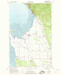
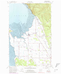
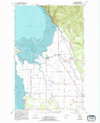
The Great Northern railway corridor defines the coastal edge and inland plains of Skagit County in the mid-1950s, linking the waterfront community of Blanchard to the agricultural hub at Edison Station. The landscape is shaped by its proximity to the water, where Samish Bay and Padilla Bay are separated by the distinct protrusion of Samish Island. This coastal geography is characterized by expansive mud and sand flats, including Pigeon Point and Windy Point, which provide a natural buffer for the reclaimed agricultural lands protected by levees.
Find a feature on this map
38 named features on this map. Tap any name to fly to it.
Don’t see what you’re looking for? This feature index may not catch every label — zoom into the map to look around manually.
Map Details
Editions of this 1954 Bow Map
4 editions found
Other maps of this area

1911 · Mount Vernon
USGS Topo · 1:125,000

1918 · Samish Lake
USGS Topo · 1:62,500

1940 · Mt Vernon
USGS Topo · 1:62,500

1943 · Mt Vernon
USGS Topo · 1:62,500

1943 · Deception Pass
USGS Topo · 1:62,500

1943 · Anacortes
USGS Topo · 1:62,500

1951 · Deception Pass
USGS Topo · 1:62,500

1951 · Anacortes
USGS Topo · 1:62,500

1952 · Lake Whatcom
USGS Topo · 1:24,000

1952 · Alger
USGS Topo · 1:24,000