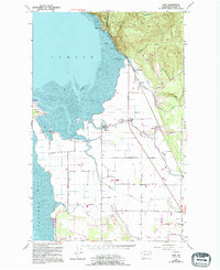
1954 Map of Bow
USGS Topo · Published 1994About this map
Samish Bay and Padilla Bay dominate this coastal landscape, where the tides interact with an intricate system of protective structures and drainage. The low-lying delta lands between the Samish River and Bay View Ridge are crisscrossed by a network of engineered features, including a prominent Levee system, a Tide Gate, and a Footbridge near Alice Bay. These developments enabled the establishment of agricultural settlements like Edison and Bow, which are linked by historic transit corridors such as the Burlington Northern railroad.
Find a feature on this map
40 named features on this map. Tap any name to fly to it.
Don’t see what you’re looking for? This feature index may not catch every label — zoom into the map to look around manually.
Map Details
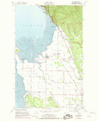
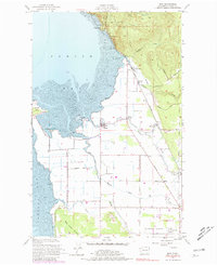
Editions of this 1954 Bow Map
4 editions found

Other maps of this area

1911 · Mount Vernon
USGS Topo · 1:125,000

1918 · Samish Lake
USGS Topo · 1:62,500

1940 · Mt Vernon
USGS Topo · 1:62,500

1943 · Mt Vernon
USGS Topo · 1:62,500

1943 · Deception Pass
USGS Topo · 1:62,500

1943 · Anacortes
USGS Topo · 1:62,500

1951 · Deception Pass
USGS Topo · 1:62,500

1951 · Anacortes
USGS Topo · 1:62,500

1952 · Lake Whatcom
USGS Topo · 1:24,000

1952 · Alger
USGS Topo · 1:24,000