
1918 Map of Samish Lake
USGS Topo · Published 1918About this map
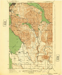
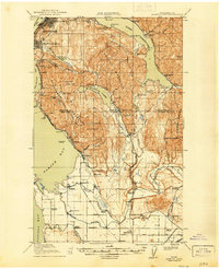
Samish Lake and the southern reaches of Bellingham dominate this coastal survey, where the rugged elevations of Chuckanut Mountain and Lookout Mountain meet the saltwater of Samish Bay. The landscape reflects a turn-of-the-century transition from timber extraction to agricultural settlement, evidenced by the Alger Shingle Mill and the emerging network of valley farms. Industry and transit are tightly linked here; the Great Northern Railway and Northwestern Traction lines trace the coastline and inland valleys, connecting maritime points like Blanchard Landing to inland hubs such as Edison.
Find a feature on this map
91 named features on this map. Tap any name to fly to it.
Don’t see what you’re looking for? This feature index may not catch every label — zoom into the map to look around manually.
Map Details
Editions of this 1918 Samish Lake Map
3 editions found
Other maps of this area

1906 · Sumas
USGS Topo · 1:62,500

1907 · Blaine
USGS Topo · 1:62,500

1908 · Sumas
USGS Topo · 1:62,500

1911 · Mount Vernon
USGS Topo · 1:125,000

1919 · Van Zandt
USGS Topo · 1:62,500

1921 · Wickersham
USGS Topo · 1:62,500

1940 · Mt Vernon
USGS Topo · 1:62,500

1943 · Mt Vernon
USGS Topo · 1:62,500

1943 · Deception Pass
USGS Topo · 1:62,500

1943 · Anacortes
USGS Topo · 1:62,500