
1908 Map of Sumas
USGS Topo · Published 1908About this map
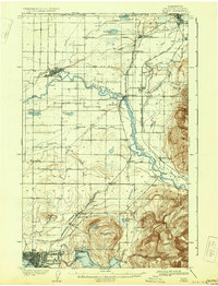
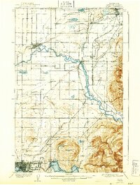
The Nooksak River and its broad agricultural floodplains dominate this 1906 survey of northern Whatcom County, capturing a landscape where rail lines and timber were driving rapid settlement. Small hubs like Lynden, Everson, and Sumas are clearly defined, while smaller outposts like Lamberton and Strandell illustrate the density of early 20th-century rural communities. Near the northern boundary, tramways suggest local industrial activity connecting back to the United States Canada Boundary Line.
Find a feature on this map
59 named features on this map. Tap any name to fly to it.
Don’t see what you’re looking for? This feature index may not catch every label — zoom into the map to look around manually.
Map Details
Editions of this 1908 Sumas Map
3 editions found
Other maps of this area

1906 · Sumas
USGS Topo · 1:62,500

1907 · Blaine
USGS Topo · 1:62,500

1918 · Samish Lake
USGS Topo · 1:62,500

1919 · Van Zandt
USGS Topo · 1:62,500

1921 · Wickersham
USGS Topo · 1:62,500

1943 · Anacortes
USGS Topo · 1:62,500

1951 · Wickersham
USGS Topo · 1:62,500

1951 · Anacortes
USGS Topo · 1:62,500

1951 · Van Zandt
USGS Topo · 1:62,500

1952 · Lake Whatcom
USGS Topo · 1:24,000