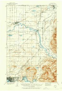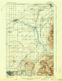
1908 Map of Sumas
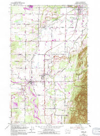
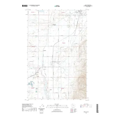
USGS Topo · Published 1931About this map
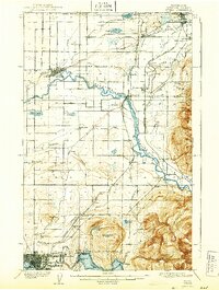
The United States Canada Boundary Line defines the northern edge of this Whatcom County landscape, where the Nooksack River winds through fertile lowlands. Significant early 20th-century rail infrastructure is visible, including the British Columbia and Bellingham Bay RR and the Northern Pacific RR, which facilitated the movement of timber and agricultural goods. In the south, the budding city of Bellingham spreads near Whatcom Lake, while smaller rural centers like Lynden and Sumas anchor the valley farming districts. The presence of Larsens Mill and several Tramway lines suggests an economy deeply tied to the extraction and processing of resources from the nearby Sumas Mountain and Squalicum Mtn foothills. Cultural landmarks such as Gerry School and numerous small settlements like Strandell and Cedarville reflect the early settlement patterns of the Puget Sound interior.
Find a feature on this map
55 named features on this map. Tap any name to fly to it.
Don’t see what you’re looking for? This feature index may not catch every label — zoom into the map to look around manually.
Map Details
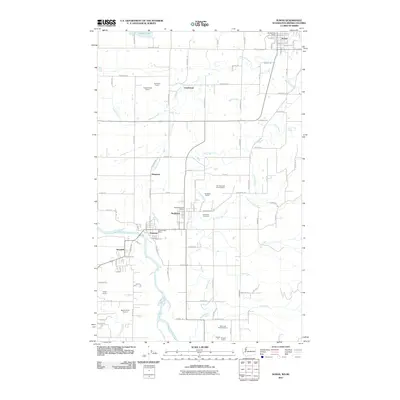
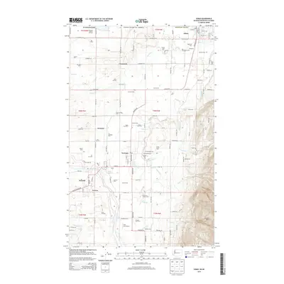
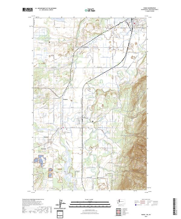
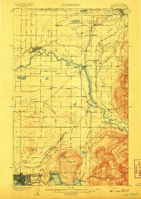
Editions of this 1908 Sumas Map
3 editions found
Historical Maps of Bellingham Through Time
8 maps found