2021 Map of Adelanto
USGS Topo · Published 2021About this map
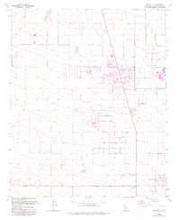
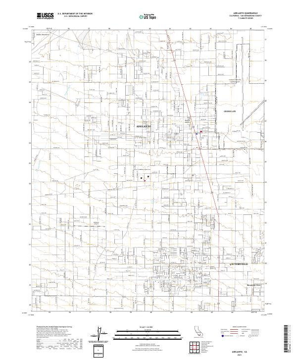
Adelanto and the surrounding high desert terrain in San Bernardino County are depicted here during a period of significant regional aviation and logistics development. The map prominently features the Southern California Logistics Airport and the smaller Adelanto Airport, illustrating the area's transition from a remote agricultural settlement to a critical hub for global freight and aircraft storage. The landscape is defined by the arid reaches of the Mojave Desert, where the Shadow Mountains rise to the northwest and the Fremont Wash cuts through the desert floor. To the southeast, the urban grid of Victorville and the neighborhood of Mountain View begin to encroach upon the open desert. The surveyor's grid of section lines and the specialized transport path of the Labp & L Rd reveal the industrial and infrastructure-heavy nature of the contemporary California desert interior.
Find a feature on this map
216 named features on this map. Tap any name to fly to it.
Don’t see what you’re looking for? This feature index may not catch every label — zoom into the map to look around manually.
Map Details
Editions of this 2021 Adelanto Map
This is the sole edition of this map. No revisions or reprints were ever made.