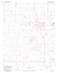
1956 Map of Adelanto
USGS Topo · Published 1993About this map
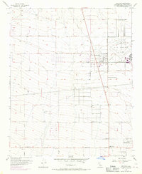
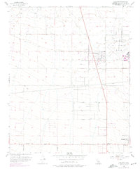
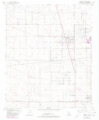
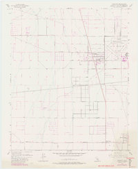
Adelanto serves as the focal point of this Mojave Desert landscape, captured here as the community expanded alongside the significant military presence at George Air Force Base. The map reveals a transition from the established grid of the town center to the outlying residential developments of Mountain View Acres and Adobe Corners. The local geography is defined by the broad path of the Fremont Wash to the north and a network of arterial roads named for regional wildlife and plants, such as Koala Road and Cactus Road.
Find a feature on this map
60 named features on this map. Tap any name to fly to it.
Don’t see what you’re looking for? This feature index may not catch every label — zoom into the map to look around manually.
Map Details
Editions of this 1956 Adelanto Map
8 editions found
Other maps of this area

1901 · Southern California Sheet No. 1
USGS Topo · 1:250,000

1902 · Hesperia
USGS Topo · 1:62,500

1903 · San Antonio
USGS Topo · 1:62,500

1904 · Southern California Sheet No. 1
USGS Topo · 1:250,000

1932 · Barstow
USGS Topo · 1:125,000

1934 · Barstow
USGS Topo · 1:125,000

1937 · Shadow Mountains
USGS Topo · 1:48,000
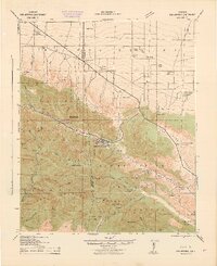
1942 · San Antonio
USGS Topo · 1:62,500

1942 · Hesperia
USGS Topo · 1:62,500

1942 · Shadow Mountains
USGS Topo · 1:62,500