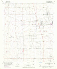
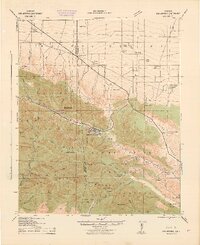
1956 Map of Adelanto
USGS Topo · Published 1970About this map
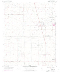
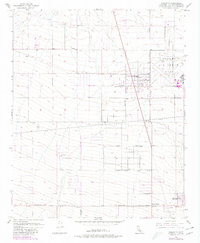
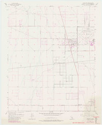
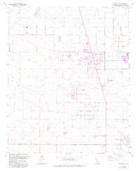
George Air Force Base dominates the eastern landscape of this high desert region during the mid-1950s, its runways and military structures standing in sharp contrast to the surrounding grid of developing roads. The town of Adelanto serves as a central hub, flanked by early subdivisions and a notable trailer park near Bartlet Ave. This era of growth is defined by a strictly surveyed network of thoroughfares, including the Pearblossom Highway and Sunrise Valley Road, which provided vital connectivity between nascent settlements. To the south, smaller communities like Mountain View and Adobe Corners appear at the intersection of Dahlia Rd and Helendale Road. The reliance on local resources is evident in the numerous wells and reservoirs scattered across the arid terrain, illustrating the infrastructure required to sustain these Mojave Desert outposts before the heavy urbanization of later decades.
Find a feature on this map
20 named features on this map. Tap any name to fly to it.
Don’t see what you’re looking for? This feature index may not catch every label — zoom into the map to look around manually.
Map Details
Editions of this 1956 Adelanto Map
8 editions found
Other maps of this area

1901 · Southern California Sheet No. 1
USGS Topo · 1:250,000

1902 · Hesperia
USGS Topo · 1:62,500

1903 · San Antonio
USGS Topo · 1:62,500

1904 · Southern California Sheet No. 1
USGS Topo · 1:250,000

1932 · Barstow
USGS Topo · 1:125,000

1934 · Barstow
USGS Topo · 1:125,000

1937 · Shadow Mountains
USGS Topo · 1:48,000
1942 · San Antonio
USGS Topo · 1:62,500

1942 · Hesperia
USGS Topo · 1:62,500

1942 · Shadow Mountains
USGS Topo · 1:62,500