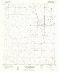
1956 Map of Adelanto
USGS Topo · Published 1964About this map
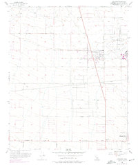
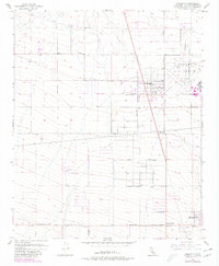
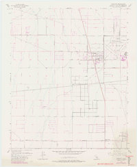
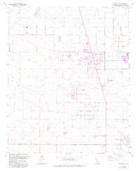
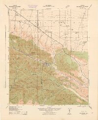
George Air Force Base dominates the northeastern landscape of this mid-century survey, its expansive runways and facilities situated just east of the growing community of Adelanto. The map reveals a transition from the structured military installation to the surrounding High Desert terrain, where a network of residential and access roads begins to define the local geography. Significant thoroughfares like Pearblossom Highway and Sunrise Valley Road cut through the arid flats, connecting small clusters of settlement at Mountain View and Adobe Corners.
Find a feature on this map
18 named features on this map. Tap any name to fly to it.
Don’t see what you’re looking for? This feature index may not catch every label — zoom into the map to look around manually.
Map Details
Editions of this 1956 Adelanto Map
8 editions found
Other maps of this area

1901 · Southern California Sheet No. 1
USGS Topo · 1:250,000

1902 · Hesperia
USGS Topo · 1:62,500

1903 · San Antonio
USGS Topo · 1:62,500

1904 · Southern California Sheet No. 1
USGS Topo · 1:250,000

1932 · Barstow
USGS Topo · 1:125,000

1934 · Barstow
USGS Topo · 1:125,000

1937 · Shadow Mountains
USGS Topo · 1:48,000
1942 · San Antonio
USGS Topo · 1:62,500

1942 · Hesperia
USGS Topo · 1:62,500

1942 · Shadow Mountains
USGS Topo · 1:62,500