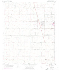
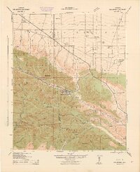
1956 Map of Adelanto
USGS Topo · Published 1975About this map
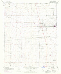
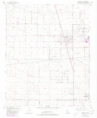
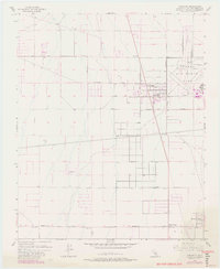
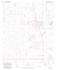
Adelanto serves as the focal point of this high desert landscape, appearing in the mid-1950s with subsequent revisions reflecting later growth. To the northeast, the extensive grounds of George Air Force Base dominate the terrain, illustrating the military's significant presence in San Bernardino County during the Cold War. The map details a grid of developing streets including Bartlet Ave and Duchess Ave, contrasting with the more sparse settlement patterns at Adobe Corners and Mountain View further south. The transportation network is defined by major thoroughfares such as Pearblossom Highway and El Mirage Road, which cut through a landscape punctuated by vital water infrastructure like a Well and Reservoir. This record documents a transition from open desert to a planned community influenced by defense aviation and highway development.
Find a feature on this map
18 named features on this map. Tap any name to fly to it.
Don’t see what you’re looking for? This feature index may not catch every label — zoom into the map to look around manually.
Map Details
Editions of this 1956 Adelanto Map
8 editions found
Other maps of this area

1901 · Southern California Sheet No. 1
USGS Topo · 1:250,000

1902 · Hesperia
USGS Topo · 1:62,500

1903 · San Antonio
USGS Topo · 1:62,500

1904 · Southern California Sheet No. 1
USGS Topo · 1:250,000

1932 · Barstow
USGS Topo · 1:125,000

1934 · Barstow
USGS Topo · 1:125,000

1937 · Shadow Mountains
USGS Topo · 1:48,000
1942 · San Antonio
USGS Topo · 1:62,500

1942 · Hesperia
USGS Topo · 1:62,500

1942 · Shadow Mountains
USGS Topo · 1:62,500