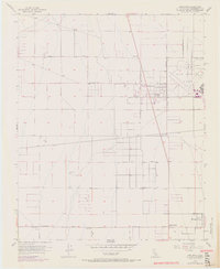
1956 Map of Adelanto
USGS Topo · Published 1970About this map
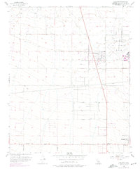
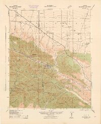
The High Desert landscape around Adelanto is dominated by the sprawling infrastructure of George Air Force Base during the mid-1950s. This survey, updated with 1968 aerial data, shows the desert floor transitioning from open range into a planned grid of residential blocks and arterial roads. The presence of a large Trailer Park near the town center and a complex system of levees and water infrastructure like the Reservoir reflect the rapid mid-century growth driven by military aviation. Beyond the central hub, the map documents smaller residential pockets such as Mountain View and Adobe Corners along the southern edge. The road network is particularly well-defined, ranging from the major Pearblossom Highway to local named routes like Sunrise Valley Road and Holly Road, illustrating the early suburbanization of the Mojave Desert before modern sprawl further transformed the valley.
Find a feature on this map
19 named features on this map. Tap any name to fly to it.
Don’t see what you’re looking for? This feature index may not catch every label — zoom into the map to look around manually.
Map Details
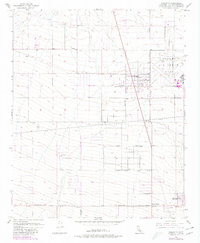
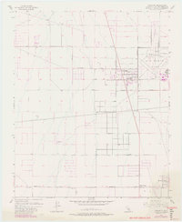
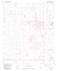
Editions of this 1956 Adelanto Map
8 editions found
Other maps of this area

1901 · Southern California Sheet No. 1
USGS Topo · 1:250,000

1902 · Hesperia
USGS Topo · 1:62,500

1903 · San Antonio
USGS Topo · 1:62,500

1904 · Southern California Sheet No. 1
USGS Topo · 1:250,000

1932 · Barstow
USGS Topo · 1:125,000

1934 · Barstow
USGS Topo · 1:125,000

1937 · Shadow Mountains
USGS Topo · 1:48,000
1942 · San Antonio
USGS Topo · 1:62,500

1942 · Hesperia
USGS Topo · 1:62,500

1942 · Shadow Mountains
USGS Topo · 1:62,500