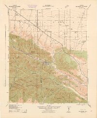
1942 Map of San Antonio
USGS Topo · Published 1942About this map
The San Gabriel Mountains dominate the southern half of this landscape, rising sharply from the Mojave Desert floor to the high summit of Old Baldy Peak. The high-altitude community of Wrightwood is tucked into the Swarthout Valley, serving as a central hub between the steep canyons of the Los Angeles National Forest and the arid plains to the north. This era shows a transition between isolated mountain outposts and early recreation, evidenced by the Smithsonian Observatory on Blue Ridge and various mountain retreats like Snow Crest Camp.
Find a feature on this map
67 named features on this map. Tap any name to fly to it.
Don’t see what you’re looking for? This feature index may not catch every label — zoom into the map to look around manually.
Map Details
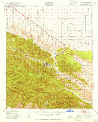
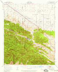
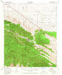
Editions of this 1942 San Antonio Map
4 editions found
Other maps of this area

1894 · Pomona
USGS Topo · 1:62,500

1896 · San Bernardino
USGS Topo · 1:62,500

1897 · Pomona
USGS Topo · 1:62,500

1897 · Cucamonga
USGS Topo · 1:62,500

1898 · Pomona
USGS Topo · 1:62,500

1898 · San Bernardino
USGS Topo · 1:62,500

1900 · Cucamonga
USGS Topo · 1:62,500

1901 · Southern California Sheet No. 1
USGS Topo · 1:250,000

1901 · San Bernardino
USGS Topo · 1:62,500

1902 · Hesperia
USGS Topo · 1:62,500