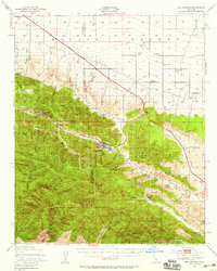
1942 Map of San Antonio
USGS Topo · Published 1959About this map
Wrightwood sits at the geological heart of this high-altitude landscape, situated where the San Andreas Fault cuts through the Swarthout Valley. This 1940s-era record reveals a rugged transition between the Mojave Desert and the heavily wooded slopes of the Angeles National Forest and San Bernardino National Forest. The map documents a distinct economy of mountain recreation and high-desert ranching, with sites like Big Pines Recreation Area, Apple White Camp, and the Smithsonian Observatory established alongside family-run operations such as Kunzel Ranch and Riggins Ranch.
Find a feature on this map
79 named features on this map. Tap any name to fly to it.
Don’t see what you’re looking for? This feature index may not catch every label — zoom into the map to look around manually.
Map Details
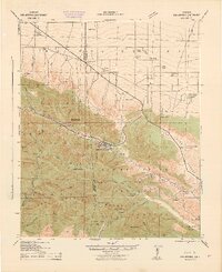
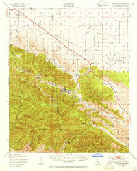
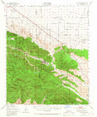
Editions of this 1942 San Antonio Map
4 editions found
Other maps of this area

1894 · Pomona
USGS Topo · 1:62,500

1896 · San Bernardino
USGS Topo · 1:62,500

1897 · Pomona
USGS Topo · 1:62,500

1897 · Cucamonga
USGS Topo · 1:62,500

1898 · Pomona
USGS Topo · 1:62,500

1898 · San Bernardino
USGS Topo · 1:62,500

1900 · Cucamonga
USGS Topo · 1:62,500

1901 · Southern California Sheet No. 1
USGS Topo · 1:250,000

1901 · San Bernardino
USGS Topo · 1:62,500

1902 · Hesperia
USGS Topo · 1:62,500