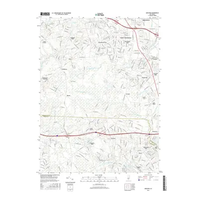
2016 Map of Adelphia
USGS Topo · Published 2016About this map
Adelphia and its surrounding Monmouth County townships are defined by a complex network of residential subdivisions and historical mill sites along the local waterways. The landscape transition is evident where established clusters like West Freehold and Stonehurst East meet the drainage basins of the Manasquan River and the N Br Metedeconk River. The persistent naming of locations such as Oakland Mills, Wyckoff Mills, and Jacksons Mills suggests a long-standing reliance on these stream corridors for early industry and community identity. Modern infrastructure, including Interstate 195 and the nearby Cuddihy Landing Strip, now crosses these older settlement patterns. Further south, the boundary between Monmouth and Ocean Counties divides smaller communities like Hyson and Bennetts Mills, showing the gradual expansion of suburban life into the forested creek valleys near Aldrich Lake.
Find a feature on this map
49 named features on this map. Tap any name to fly to it.
Don’t see what you’re looking for? This feature index may not catch every label — zoom into the map to look around manually.
Map Details
Editions of this 2016 Adelphia Map
This is the sole edition of this map. No revisions or reprints were ever made.
Other maps of this area

1888 · New Brunswick
USGS Topo · 1:62,500

1888 · Asbury Park
USGS Topo · 1:62,500

1888 · Cassville
USGS Topo · 1:62,500

1888 · Sandy Hook
USGS Topo · 1:62,500

1893 · New Brunswick
USGS Topo · 1:62,500

1893 · Sandy Hook
USGS Topo · 1:62,500

1893 · Asbury Park
USGS Topo · 1:62,500

1894 · Cassville
USGS Topo · 1:62,500

1900 · Cassville
USGS Topo · 1:62,500

1901 · New Brunswick
USGS Topo · 1:62,500