Loading...
Loading map...2021 Map of Agency
USGS Topo · Published 2021About this map
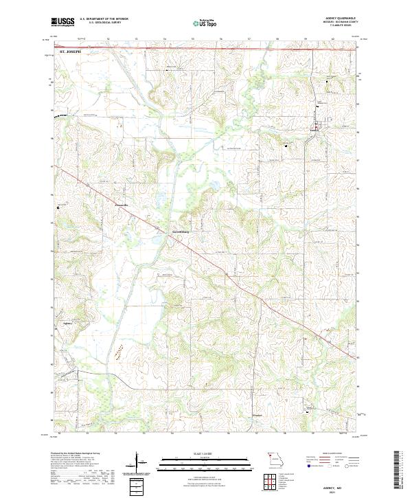
The Platte River meanders southward through this rural landscape southeast of St. Joseph, defining a corridor of agricultural activity and small settlements. The community of Agency sits near the river's bend, while the village of Easton serves as a local hub to the northeast. This 2021 map documents a network of county roads and state highways that connect long-established farming communities like Garrettsburg, Evansville, and Frazier.
Find a feature on this map
76 named features on this map. Tap any name to fly to it.
Don’t see what you’re looking for? This feature index may not catch every label — zoom into the map to look around manually.
Map Details
Date Portrayed2021
Date Published2021
PublisherU.S. Geological Survey
Map TypeTopographic
Scale1:24000
Physical Dimensions24 x 29 inches
Editions of this 2021 Agency Map
This is the sole edition of this map. No revisions or reprints were ever made.
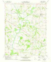
Historical Maps of Frazier Through Time
Featured Locations
Source Details
SourceU.S. Geological Survey
CopyrightPublic Domain