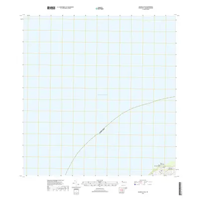
1950 Map of Aguadilla NNE
USGS Topo · Published 1950About this map
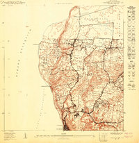
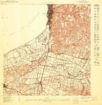
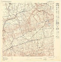
Océano Atlántico coastal waters dominate this maritime survey of the northwestern tip of the island, where the land meets the sea at Pta Agujereada. The landscape is largely defined by the Reservación Militar Maleza Baja, indicating the significant strategic presence of the United States military in the area during the mid-twentieth century. Near the southern edge of the sheet, the label Washington and the terrain at Borinquen provide specific points of reference for local historians studying the territorial layout before modern developments. This map, prepared by the U.S. Geological Survey for the Government of Puerto Rico, serves as a record of the specialized land use and coastal geography of the Aguadilla region at this time.
Find a feature on this map
6 named features on this map. Tap any name to fly to it.
Don’t see what you’re looking for? This feature index may not catch every label — zoom into the map to look around manually.
Map Details
Editions of this 1950 Aguadilla NNE Map
This is the sole edition of this map. No revisions or reprints were ever made.
Historical Maps of Borinquen Through Time
7 maps found