Loading...
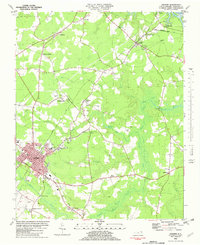
Loading map...2022 Map of Ahoskie
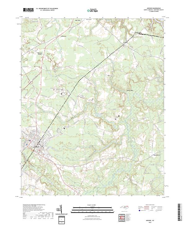
USGS Topo · Published 2022About this map
The low-lying wetlands of Hertford County define this landscape, where Whiteoak Swamp and Hoggard Swamp snake through the coastal plain toward the Wiccacon River. The town of Ahoskie serves as the primary hub, situated near Ahoskie Ridge and surrounded by smaller settlements like Pleasant Plains and California. The mapping of these drainages, including Ahoskie Creek and Flat Swamp, illustrates how water shaped the development of agricultural and residential clusters.
Find a feature on this map
103 named features on this map. Tap any name to fly to it.
Don’t see what you’re looking for? This feature index may not catch every label — zoom into the map to look around manually.
Map Details
Date Portrayed2022
Date Published2022
PublisherU.S. Geological Survey
Map TypeTopographic
Scale1:24000
Physical Dimensions24 x 29 inches
Editions of this 2022 Ahoskie Map
This is the sole edition of this map. No revisions or reprints were ever made.
Historical Maps of Bethlehem Through Time
Featured Locations
Source Details
SourceU.S. Geological Survey
CopyrightPublic Domain