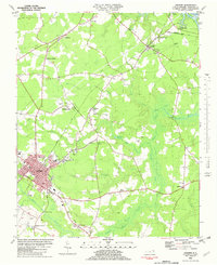
1982 Map of Ahoskie
USGS Topo · Published 1982About this map
Ahoskie serves as the primary hub of this eastern North Carolina landscape, where the Seaboard Coast Line Railroad corridors converge and define the town's early growth. The surrounding terrain is heavily influenced by the winding waters of Ahoskie Swamp and Whiteoak Swamp, which weave through the agricultural and forested lands of Hertford County. Smaller settlements and rural junctions like Bethlehem, Cofield, and Tunis dot the map, marking the reach of regional commerce and rail transit near the Wiccacon River.
Find a feature on this map
56 named features on this map. Tap any name to fly to it.
Don’t see what you’re looking for? This feature index may not catch every label — zoom into the map to look around manually.
Map Details
Editions of this 1982 Ahoskie Map
This is the sole edition of this map. No revisions or reprints were ever made.
Other maps of this area

1908 · Winton
USGS Topo · 1:62,500

1953 · Norfolk
USGS Topo · 1:250,000

1972 · Aulander
USGS Topo · 1:24,000
1973 · Murfreesboro
USGS Topo · 1:24,000

1977 · Union
USGS Topo · 1:24,000
1981 · Gatesville
USGS Topo · 1:24,000

1982 · Powellsville
USGS Topo · 1:24,000
1982 · Winton
USGS Topo · 1:24,000
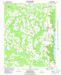
1982 · Colerain
USGS Topo · 1:24,000
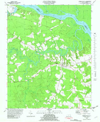
1982 · Harrellsville
USGS Topo · 1:24,000