
1972 Map of Aulander
USGS Topo · Published 1977About this map
The town of Aulander and the surrounding agricultural lands of the Hertford Co Bertie Co line define this 1970s landscape. The settlement pattern is anchored by small crossroads and linear hamlets like Millennium, Connáritsa, and Hexlena, many of which developed along the Seaboard Coast Line railroad. The topography is characterized by expansive wetland systems including Pocosin and the winding Connáritsa Swamp, which drain into several named basins such as Beaverdam Swamp and Eason Swamp. This map provides significant genealogical value through its dense documentation of rural community hubs, specifically noting numerous Cem sites and local landmarks like South Aulander Sch and Francis Mill. The distribution of religious centers, from Millennium Ch in the north to Conconary Ch and Center Grove Ch in the east, illustrates the social fabric of these North Carolina farming communities during the late twentieth century.
Find a feature on this map
22 named features on this map. Tap any name to fly to it.
Don’t see what you’re looking for? This feature index may not catch every label — zoom into the map to look around manually.
Map Details
Editions of this 1972 Aulander Map
This is the sole edition of this map. No revisions or reprints were ever made.
Other maps of this area

1908 · Winton
USGS Topo · 1:62,500

1953 · Norfolk
USGS Topo · 1:250,000

1972 · Republican
USGS Topo · 1:24,000

1972 · Woodville
USGS Topo · 1:24,000

1973 · Kelford
USGS Topo · 1:24,000

1977 · Union
USGS Topo · 1:24,000

1977 · Woodland
USGS Topo · 1:24,000
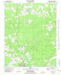
1981 · Windsor North
USGS Topo · 1:24,000

1982 · Powellsville
USGS Topo · 1:24,000
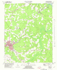
1982 · Ahoskie
USGS Topo · 1:24,000