
1977 Map of Woodland
USGS Topo · Published 1978About this map
The Seaboard Coast Line railroad cuts a diagonal path through this agricultural portion of Northampton County, anchoring the town of Woodland and the settlement of Potecasi. The landscape is defined by its drainage patterns, where the Urahaw Swamp and Potecasi Creek create natural boundaries in the north, while Cutawhiskie Creek and Ahoskie Creek wind through the southern reaches. Numerous small rural congregations and local landmarks are documented, including Hebron Ch, Grace Ch, and Zion Grove Ch, alongside the crossroads at Mintons Store and the small airfield at Tri-County Airport. The abundance of small family or community cemeteries marked simply as Cem throughout the fields and woodlots provides a detailed record of the rural population distribution during the late 1970s.
Find a feature on this map
23 named features on this map. Tap any name to fly to it.
Don’t see what you’re looking for? This feature index may not catch every label — zoom into the map to look around manually.
Map Details
Editions of this 1977 Woodland Map
This is the sole edition of this map. No revisions or reprints were ever made.
Other maps of this area

1953 · Norfolk
USGS Topo · 1:250,000

1962 · Norfleet
USGS Topo · 1:24,000

1972 · Aulander
USGS Topo · 1:24,000
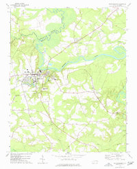
1973 · Murfreesboro
USGS Topo · 1:24,000
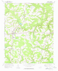
1973 · Conway
USGS Topo · 1:24,000

1973 · Kelford
USGS Topo · 1:24,000

1974 · Rich Square
USGS Topo · 1:24,000
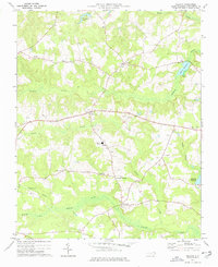
1975 · Galatia
USGS Topo · 1:24,000

1977 · Union
USGS Topo · 1:24,000
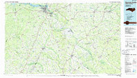
1985 · Roanoke Rapids
USGS Topo · 1:100,000