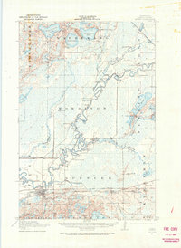
1914 Map of Aitkin
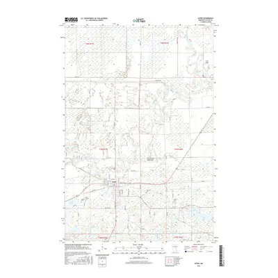
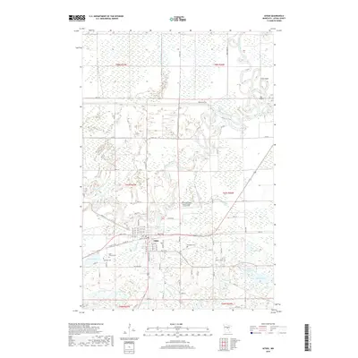
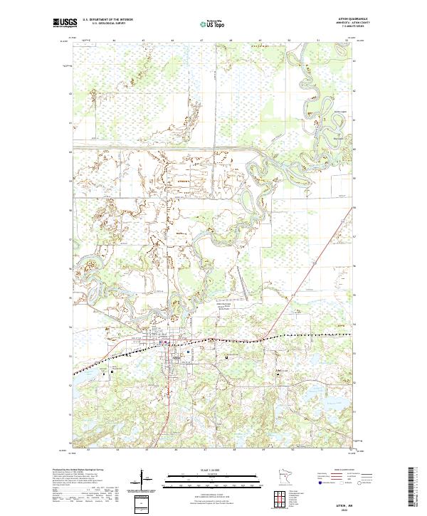
USGS Topo · Published 1966About this map
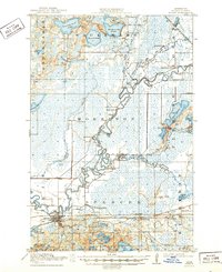
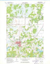
The Mississippi River creates a meandering central corridor through this landscape, defining the character of the riverfront town of Aitkin and the surrounding townships. In the early 20th century, the region was a complex network of waterways and early rail transport, dominated by the Minneapolis St. Paul and Sault Ste. Marie line passing through Rossburg. The map reveals a rural economy structured around small community centers and a high density of country schoolhouses, such as Lone Pine School, Chute School, and Pine Grove School, which served the scattered residents of Morrison and Spencer.
Find a feature on this map
49 named features on this map. Tap any name to fly to it.
Don’t see what you’re looking for? This feature index may not catch every label — zoom into the map to look around manually.
Map Details
Editions of this 1914 Aitkin Map
This is the sole edition of this map. No revisions or reprints were ever made.
Historical Maps of Aitkin Through Time
9 maps found