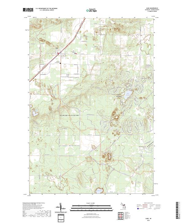
2023 Map of Alba
USGS Topo · Published 2023About this map
Alba serves as the primary settlement hub in this northern Michigan landscape, where the intersection of Alba Hwy and Mackinaw Trl anchors the local community. The area is defined by a series of glacial lakes, including Five Lake and Lake Harold, and is traversed by the prominent North Country National Scenic Trl. Two local burial grounds, Star Township Cem and Chestonia Township Cem, offer significant genealogical value for those tracing family roots in the region. To the southeast, the planned resort community of Lakes of the North features a high density of residential roads and the Lakes of the North Airport, illustrating the evolution of the area from rural township lands to seasonal recreational development. The surrounding terrain remains characterized by a network of forest roads and trails, such as Tobias Trl, which weave through the townships of Chestonia and Star.
Find a feature on this map
112 named features on this map. Tap any name to fly to it.
Don’t see what you’re looking for? This feature index may not catch every label — zoom into the map to look around manually.
Map Details
Editions of this 2023 Alba Map
This is the sole edition of this map. No revisions or reprints were ever made.
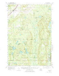
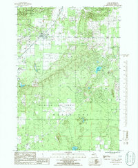
Historical Maps of Antrim County Through Time
Featured Locations
- Antrim County, MI
- Chestonia Township, MI
- Mancelona Township, MI
- Star Township, MI
- Alba, Chestonia Township