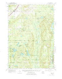
1956 Map of Alba
USGS Topo · Published 1975About this map
Alba sits at the intersection of the Pennsylvania railroad and regional roads in this mid-century survey of the Northern Michigan highlands. The landscape is defined by the vast timberlands of the Pigeon River State Forest and Au Sable State Forest, where the headwaters of the Manistee River and the Pigeon River emerge from a terrain dotted with kettle lakes and glacial depressions. Evidence of the region’s logging history and early 20th-century settlement is found in the remains of Deward, a former lumbering town, and scattered rural institutions like Barnhart Sch and Blue Lake Sch.
Find a feature on this map
75 named features on this map. Tap any name to fly to it.
Don’t see what you’re looking for? This feature index may not catch every label — zoom into the map to look around manually.
Map Details
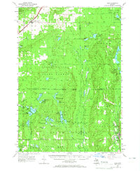
Editions of this 1956 Alba Map
3 editions found

Other maps of this area

1949 · Black Creek
USGS Topo · 1:24,000

1949 · Otsego Lake
USGS Topo · 1:62,500

1949 · Fletcher
USGS Topo · 1:62,500

1949 · Grayling
USGS Topo · 1:62,500

1950 · Lake Margrethe
USGS Topo · 1:24,000

1950 · Grayling
USGS Topo · 1:24,000

1951 · Big Bradford Lake
USGS Topo · 1:24,000

1951 · Grayling
USGS Topo · 1:24,000

1951 · Otsego Lake
USGS Topo · 1:24,000

1954 · Gaylord
USGS Topo · 1:62,500